Old Maps of Precinct 18, Nebraska
Explore 25 old maps of Precinct 18, spanning from 1955 to today. These high-resolution historic maps reveal how streets, neighborhoods, landmarks, and natural features evolved over time — perfect for genealogy, metal detecting, research, and local history exploration.
What you can do with these maps:
- See how Precinct 18 changed over time: Compare historical maps to modern-day views to trace roads, homesites, rail lines & more.
- View detailed metadata: Each map includes creators, publishers, year, scale, and archive source.
- Overlay maps with satellite & LiDAR: Visualize the past alongside modern tools to explore terrain & human change.
- Trusted historical sources: Maps sourced from the USGS, Library of Congress, and other archives.
- Access maps your way: View online, download high-res files, or order prints for personal or research use.
Start exploring old maps of Precinct 18 to uncover forgotten places, hidden landmarks, and the deep history beneath your feet.
Precinct 18, NE maps
(25)- 1955 Map of Sioux City, 1959 Print
 1955 Sioux City1959 Print · USGSThe Missouri River valley in the mid-fifties is captured here during a time of major engineering and social transition. Genealogists and historians can trace the foundations of Gavins Point Dam, tribal boundaries on the Santee Sioux Indian Reservation, and local landmarks like the Norfolk State Hospital.4 unique versions available
 - 1958 Map of Sioux City
 1958 Sioux City1958 Print · USGSThe Missouri River valley in the late fifties was a bustling intersection of tribal lands, rail corridors, and river towns. Genealogists can trace family roots through specific rural sites like Daisy Valley School, St Johns Church and School, and Yankton State Hospital.
 - 1959 Map of Sioux City
 1959 Sioux City1959 Print · USGSThe tri-state region surrounding the Missouri River is captured here in the late fifties, showing the convergence of Nebraska, South Dakota, and Iowa. Researchers can trace rural lineages through numerous country schoolhouses like Cemetery School and the many numbered Washington School districts.
 - 1968 Map of Hartington, 1971 Print
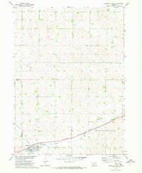
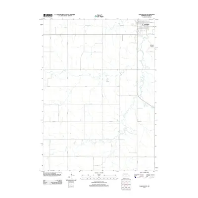
 1968 Hartington1971 Print · USGSCedar County's county seat is shown in the late sixties as a thriving hub of rail and road. Genealogists and researchers can trace the locations of St Michaels Cem, Robins Sch, and the local Drive-in Theater near the Hartington town site.
 - 1968 Map of Hartington SW, 1971 Print
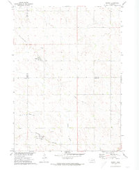
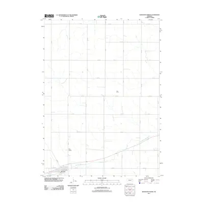
 1968 Hartington SW1971 Print · USGSCedar County farm country is mapped in detail during the late sixties, showing the rural section lines and homesteads. Local researchers can trace the locations of Oliver Grove Cem and several country schoolhouses like Harmony Sch and Goldenrod Sch.
 - 1971 Map of Randolph North, 1973 Print
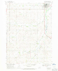
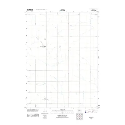
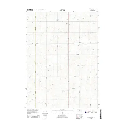
 1971 Randolph North1973 Print · USGSThe northern environs of Randolph are captured in the early seventies, showing a landscape defined by the Burlington Northern railroad. Researchers can trace the Old RR Grade and locate family burial sites at St Frances Cem.
 - 1971 Map of Magnet, 1973 Print
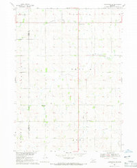
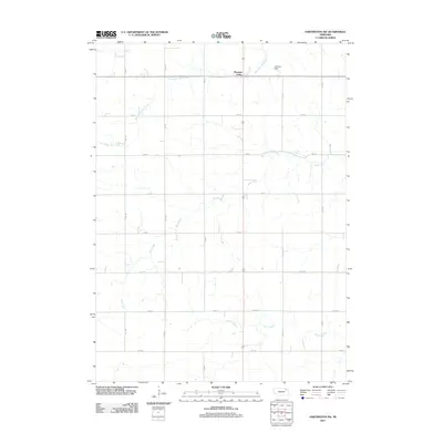
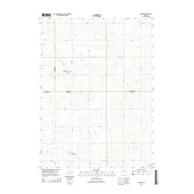
 1971 Magnet1973 Print · USGSThe rural borderlands of Cedar, Knox, and Pierce Counties are captured here in the early 1970s. Genealogists and historians can trace the Burlington Northern line through McLean, locate the Magnet Cem, and follow an Old Railroad Grade.
 - 1985 Map of Yankton
 1985 Yankton1985 Print · USGSThe Missouri River borderlands of South Dakota and Nebraska come alive in this mid-eighties survey, centered on the newly created Lewis and Clark Lake. Researchers can trace the Santee Indian Reservation and locate historic river features like the St Helena Island Chute and Sand Island.2 unique versions available
 - 1985 Map of Norfolk, 1986 Print
 1985 Norfolk1986 Print · USGSNortheast Nebraska in the mid-eighties shows a landscape shaped by the Elkhorn River and established rail corridors. Trace the growth of towns like Norfolk and Wayne, locating institutional landmarks such as Wayne State College and Norfolk Regional Center.2 unique versions available
 - 2011 Map of Hartington SW, 2011 Print
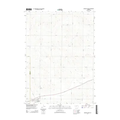
 2011 Hartington SW2011 Print · USGSCovers Precinct 18, including Pleasant Valley, Precinct 10, and other nearby areas
 - 2011 Map of Hartington, 2011 Print
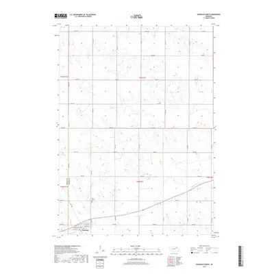
 2011 Hartington2011 Print · USGSCovers Precinct 18, including Hartington, Precinct 12, and other nearby areas
 - 2011 Map of Magnet, 2011 Print
 2011 Magnet2011 Print · USGSCovers Precinct 18, including Magnet, McLean, and other nearby areas
 - 2011 Map of Randolph North, 2011 Print
 2011 Randolph North2011 Print · USGSCovers Precinct 18, including Randolph, Precinct 17, and other nearby areas
 - 2014 Map of Randolph North, 2014 Print
 2014 Randolph North2014 Print · USGSCovers Precinct 18, including Randolph, Precinct 17, and other nearby areas
 - 2014 Map of Hartington SW, 2014 Print
 2014 Hartington SW2014 Print · USGSCovers Precinct 18, including Pleasant Valley, Precinct 10, and other nearby areas
 - 2014 Map of Magnet, 2014 Print
 2014 Magnet2014 Print · USGSCovers Precinct 18, including Magnet, McLean, and other nearby areas
 - 2014 Map of Hartington, 2014 Print
 2014 Hartington2014 Print · USGSCovers Precinct 18, including Hartington, Precinct 12, and other nearby areas
 - 2017 Map of Randolph North, 2017 Print
 2017 Randolph North2017 Print · USGSCovers Precinct 18, including Randolph, Precinct 17, and other nearby areas
 - 2017 Map of Hartington, 2017 Print
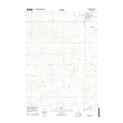
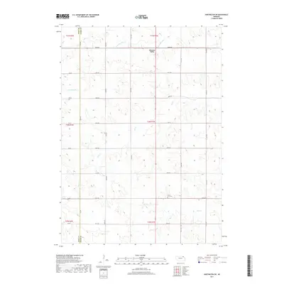
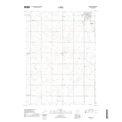 2017 Hartington2017 Print · USGSCovers Precinct 18, including Hartington, Precinct 12, and other nearby areas
 - 2017 Map of Magnet, 2017 Print
 2017 Magnet2017 Print · USGSCovers Precinct 18, including Magnet, McLean, and other nearby areas
 - 2017 Map of Hartington SW, 2017 Print
 2017 Hartington SW2017 Print · USGSCovers Precinct 18, including Pleasant Valley, Precinct 10, and other nearby areas
 - 2021 Map of Hartington SW, 2021 Print
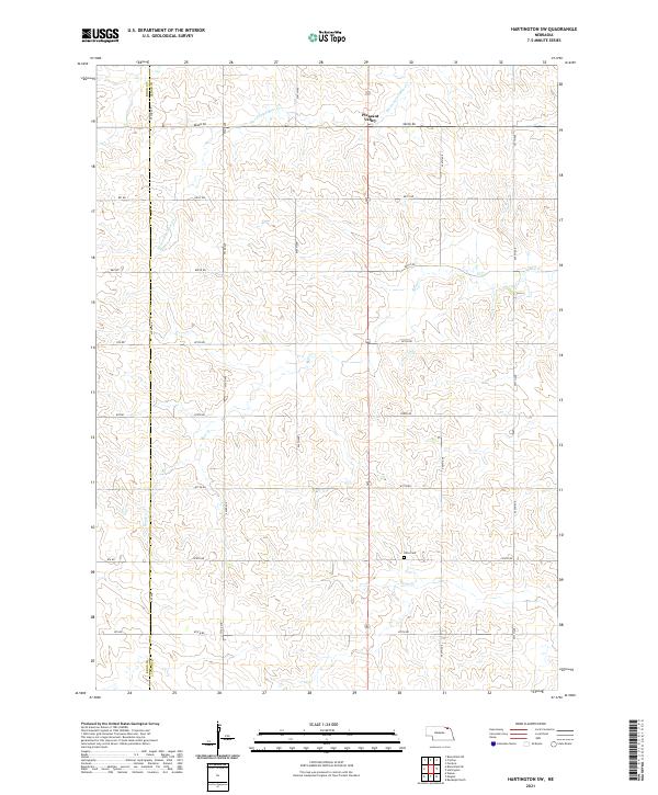 2021 Hartington SW2021 Print · USGSThe rural agricultural landscapes of Cedar and Knox counties are captured here just after the turn of the twenty-first century. Researchers can locate the Olive Cem and trace the paths of Norwegian Bow Cr and Pearl Cr through the hills near Pleasant Valley.
 - 2021 Map of Randolph North, 2021 Print
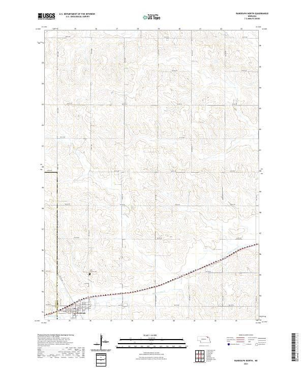 2021 Randolph North2021 Print · USGSIn northeast Nebraska during the early 2020s, the agricultural landscape around the Randolph townsite remains defined by its precise section-line grid. Researchers can trace local landmarks like Saint Frances Cem and the winding course of Middle Logan Cr.
 - 2021 Map of Magnet, 2021 Print
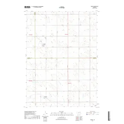
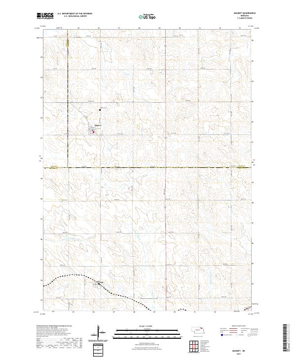 2021 Magnet2021 Print · USGSNortheast Nebraska's agricultural heartland is captured here in the early 2020s, centered on the community of Magnet. Genealogists and local historians can trace family locations near Magnet Cem or follow the paths of Yankton Slough and the Middle Logan Cr.
 - 2021 Map of Hartington, 2021 Print
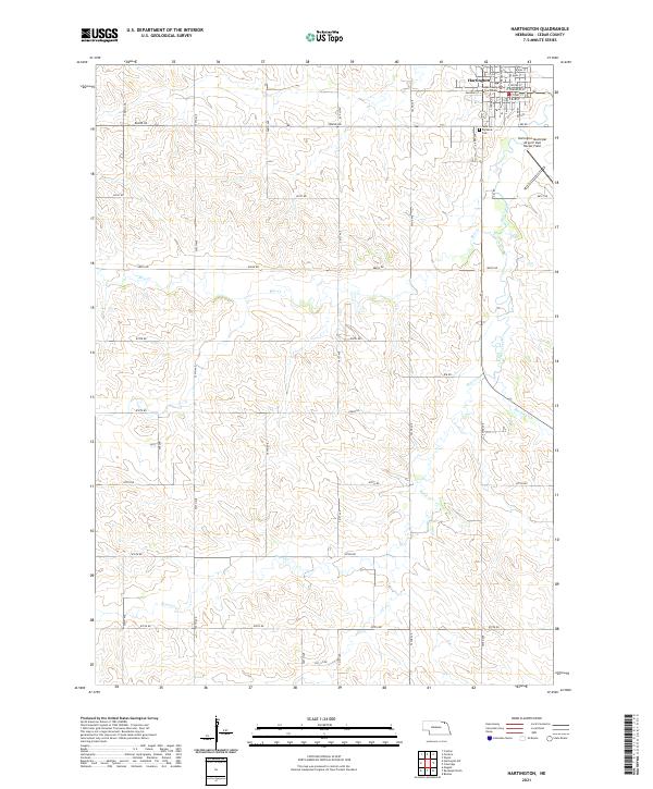 2021 Hartington2021 Print · USGSHartington stands at the center of this recent Cedar County survey, capturing the town and its agricultural surroundings. Genealogists and local researchers can locate Saint Michaels Cem and the Cedar County Courthouse or trace the winding course of Bow Creek.
End of results
Showing maps 1-25 of 25
Top cities near Precinct 18
- Hartington historical maps
- Bloomfield historical maps
- Randolph historical maps
- Osmond historical maps
- Wausa historical maps
- Coleridge historical maps
See more
Top neighborhoods of Precinct 18
Frequently asked questions
- What are the different types of historical maps available for Precinct 18?
- What is the oldest map of Precinct 18?
- Where can I purchase historical maps of Precinct 18 for my home or office?
- Where can I download high-res historical maps of Precinct 18?
- Are there historical topographic maps available for Precinct 18?
- Is there historical aerial imagery available for Precinct 18?
- Where are historical maps of Precinct 18 sourced from?