2000s (21st Century) Maps of Precinct 20, Nebraska
Explore 16 historic maps of Precinct 20 from the 2000s (21st Century). These maps offer a rare glimpse into what life looked like during the 2000s — showing old roads, neighborhoods, homes, and landmarks that have changed or disappeared over time.
Whether you're researching your family's past, planning a metal detecting trip, or studying how Precinct 20's landscape evolved across the 2000s, these high-resolution maps are a powerful tool for exploring the history of this region.
- Focus on a specific era: All maps on this page are from the 2000s, giving you a focused view of this time period.
- See what’s changed: Compare century-old streets, trails, and buildings to today's modern landscape using overlays and satellite layers.
- Research with precision: Use these maps for genealogy, historical research, land use analysis, or educational projects.
- View, download, or print: Maps are fully viewable online in high resolution, and can be downloaded or printed for your own records.
Start exploring Precinct 20's history through authentic maps from the 2000s. This is your window into the past.
Precinct 20, NE maps
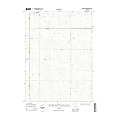
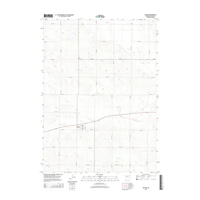
(16)- 2011 Map of Belden, 2011 Print
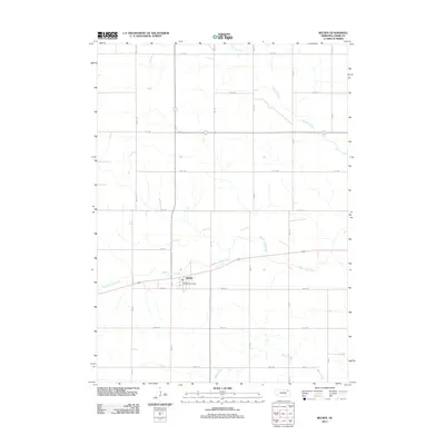 2011 Belden2011 Print · USGSCovers Precinct 20, including Belden, Precinct 15, and other nearby areas
 - 2011 Map of Randolph South, 2011 Print
 2011 Randolph South2011 Print · USGSCovers Precinct 20, including Randolph, Sholes, and other nearby areas
 - 2011 Map of Randolph North, 2011 Print
 2011 Randolph North2011 Print · USGSCovers Precinct 20, including Randolph, Precinct 17, and other nearby areas
 - 2011 Map of Carroll, 2011 Print
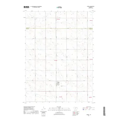
 2011 Carroll2011 Print · USGSCovers Precinct 20, including Carroll, Precinct 21, and other nearby areas
 - 2014 Map of Randolph South, 2014 Print
 2014 Randolph South2014 Print · USGSCovers Precinct 20, including Randolph, Sholes, and other nearby areas
 - 2014 Map of Belden, 2014 Print
 2014 Belden2014 Print · USGSCovers Precinct 20, including Belden, Precinct 15, and other nearby areas
 - 2014 Map of Randolph North, 2014 Print
 2014 Randolph North2014 Print · USGSCovers Precinct 20, including Randolph, Precinct 17, and other nearby areas
 - 2014 Map of Carroll, 2014 Print
 2014 Carroll2014 Print · USGSCovers Precinct 20, including Carroll, Precinct 21, and other nearby areas
 - 2017 Map of Carroll, 2017 Print
 2017 Carroll2017 Print · USGSCovers Precinct 20, including Carroll, Precinct 21, and other nearby areas
 - 2017 Map of Randolph North, 2017 Print
 2017 Randolph North2017 Print · USGSCovers Precinct 20, including Randolph, Precinct 17, and other nearby areas
 - 2017 Map of Randolph South, 2017 Print
 2017 Randolph South2017 Print · USGSCovers Precinct 20, including Randolph, Sholes, and other nearby areas
 - 2017 Map of Belden, 2017 Print
 2017 Belden2017 Print · USGSCovers Precinct 20, including Belden, Precinct 15, and other nearby areas
 - 2021 Map of Carroll, 2021 Print
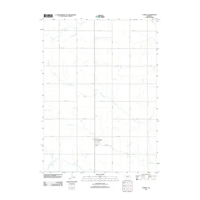
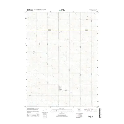
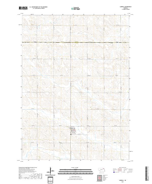 2021 Carroll2021 Print · USGSWayne County agriculture and the village of Carroll are well-documented in the early twenty-first century as the prairie landscape transitions across the Cedar County line. Researchers can trace local landmarks like Elmwood Cem and the winding course of Deer Cr.
 - 2021 Map of Belden, 2021 Print
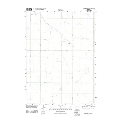
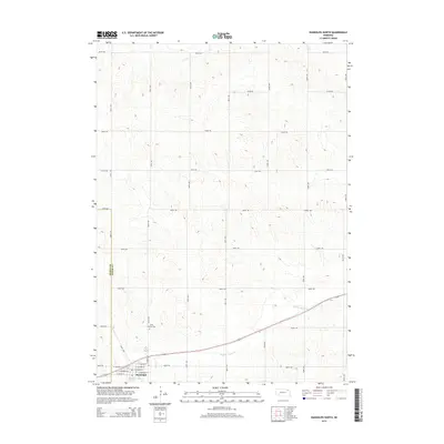
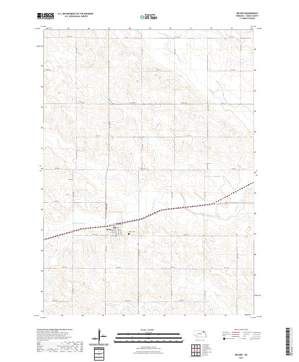 2021 Belden2021 Print · USGSCedar County agriculture and small-town life are documented here during the early twenty-first century. Genealogists and local historians can locate Belden and its local streets, trace the winding Middle Logan Cr, or find family records at Belden Cem.
 - 2021 Map of Randolph South, 2021 Print
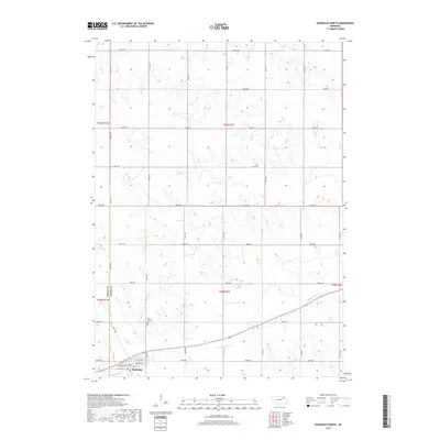
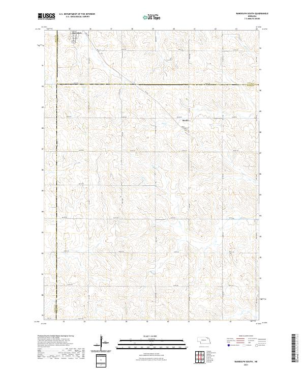 2021 Randolph South2021 Print · USGSWayne County farm country and the southern outskirts of Randolph are captured in this recent survey. Local historians can trace the course of Dog Cr and Deer Cr or locate specific sections near Sholes and along Hwy 98.
 - 2021 Map of Randolph North, 2021 Print
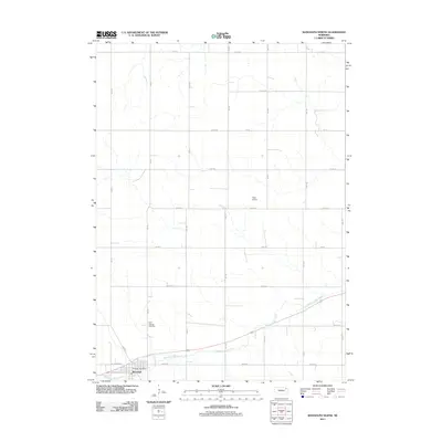
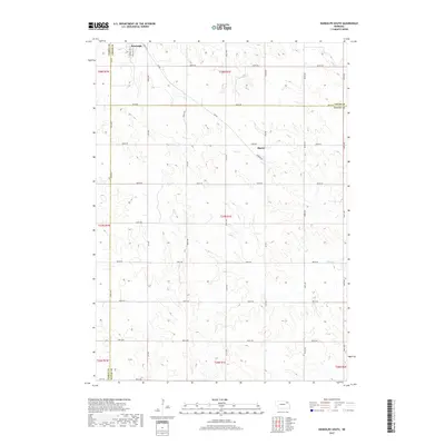
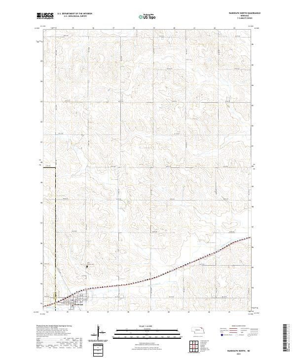 2021 Randolph North2021 Print · USGSIn northeast Nebraska during the early 2020s, the agricultural landscape around the Randolph townsite remains defined by its precise section-line grid. Researchers can trace local landmarks like Saint Frances Cem and the winding course of Middle Logan Cr.
End of results
Showing maps 1-16 of 16
Top cities near Precinct 20
- Wayne historical maps
- Hartington historical maps
- Laurel historical maps
- Randolph historical maps
- Coleridge historical maps
- Winside historical maps
See more
Top neighborhoods of Precinct 20
Frequently asked questions
- What are the different types of historical maps available for Precinct 20?
- What is the oldest map of Precinct 20?
- Where can I purchase historical maps of Precinct 20 for my home or office?
- Where can I download high-res historical maps of Precinct 20?
- Are there historical topographic maps available for Precinct 20?
- Is there historical aerial imagery available for Precinct 20?
- Where are historical maps of Precinct 20 sourced from?