Old Maps of Precinct 4, Nebraska for Academic Research
Study the evolution of Precinct 4 with 25 high-resolution historic maps. Whether you're teaching, researching, or modeling changes in land use, these maps provide essential visual documentation of urban, environmental, and geographic change.
- Analyze long-term change: Track patterns in development, transportation, and natural features.
- Ideal for environmental or urban studies: Support academic projects with primary historical map data.
- Use in the classroom or lab: Educators and researchers rely on these maps to bring historical context to life.
These maps are a powerful tool for teaching, research, and visualizing how Precinct 4 has changed over the decades.
Precinct 4, NE maps
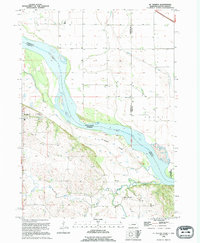
(25)- 1955 Map of Sioux City, 1959 Print
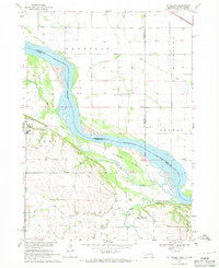
 1955 Sioux City1959 Print · USGSThe Missouri River valley in the mid-fifties is captured here during a time of major engineering and social transition. Genealogists and historians can trace the foundations of Gavins Point Dam, tribal boundaries on the Santee Sioux Indian Reservation, and local landmarks like the Norfolk State Hospital.4 unique versions available
 - 1958 Map of Sioux City
 1958 Sioux City1958 Print · USGSThe Missouri River valley in the late fifties was a bustling intersection of tribal lands, rail corridors, and river towns. Genealogists can trace family roots through specific rural sites like Daisy Valley School, St Johns Church and School, and Yankton State Hospital.
 - 1959 Map of Sioux City
 1959 Sioux City1959 Print · USGSThe tri-state region surrounding the Missouri River is captured here in the late fifties, showing the convergence of Nebraska, South Dakota, and Iowa. Researchers can trace rural lineages through numerous country schoolhouses like Cemetery School and the many numbered Washington School districts.
 - 1968 Map of St. Helena, 1971 Print
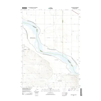
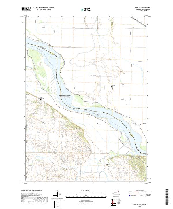
 1968 St. Helena1971 Print · USGSThe Nebraska-South Dakota borderlands along the Missouri River come alive in the late sixties, showing the river's path around St Helena Island. Genealogists can trace local roots at Bow Valley Mills, St Marys Sch, and St Helena Cem.
 - 1968 Map of Wynot, 1971 Print
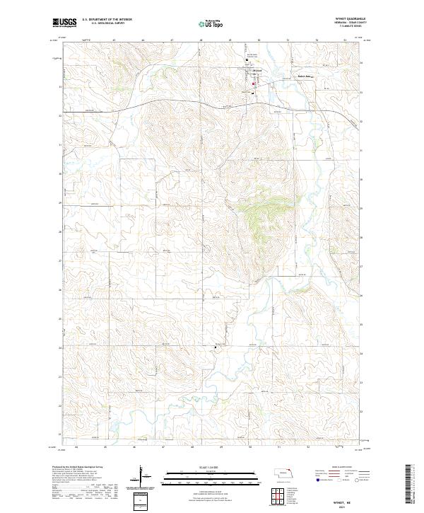
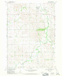 1968 Wynot1971 Print · USGSNortheastern Nebraska's creek valleys were captured in detail during the late sixties, showing the rural communities of Wynot and St James. Researchers can trace old property boundaries and locate local landmarks like Paragon Cem and several Gravel Pits along Bow Creek.
 - 1968 Map of Fordyce, 1971 Print
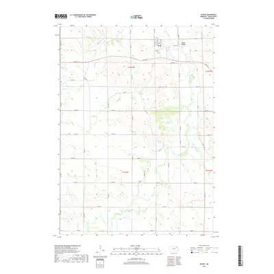
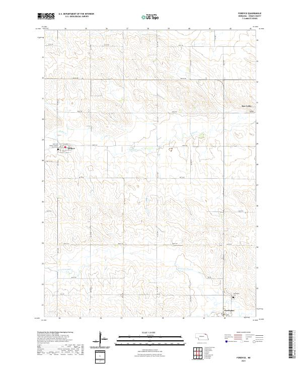
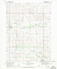 1968 Fordyce1971 Print · USGSCedar County's agricultural heartland is documented here in the late sixties, centered on the rail-dependent town of Fordyce. Genealogists and historians can trace the Chicago and North Western line as it connects Hartington to Bow Valley.
 - 1968 Map of Menominee, 1971 Print
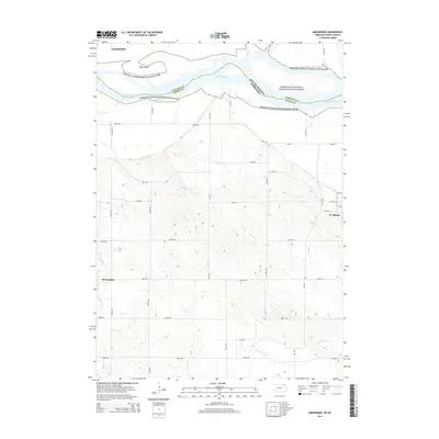
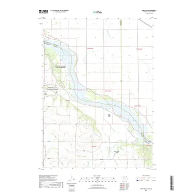
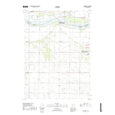
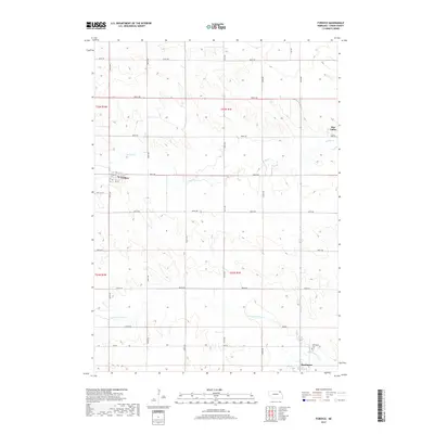
 1968 Menominee1971 Print · USGSCrossing the Nebraska and South Dakota border in the late sixties, this area shows the winding Missouri River valley and its rural farm communities. Genealogists can locate family landmarks such as St Helena Chapel, Joy Hill Sch, and the cemetery near Menominee.2 unique versions available
 - 1985 Map of Yankton
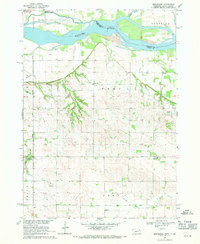
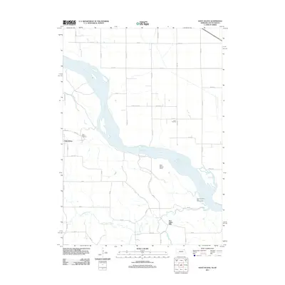
 1985 Yankton1985 Print · USGSThe Missouri River borderlands of South Dakota and Nebraska come alive in this mid-eighties survey, centered on the newly created Lewis and Clark Lake. Researchers can trace the Santee Indian Reservation and locate historic river features like the St Helena Island Chute and Sand Island.2 unique versions available
 - 1994 Map of St. Helena, 1995 Print
 1994 St. Helena1995 Print · USGSThe Nebraska-South Dakota border along the Missouri River is captured here in the early nineties, revealing a landscape of shifting chutes and islands. Researchers can locate the St Helena Cem, the historic site of Bow Valley Mills, and the complex drainage of West Bow Creek.
 - 2011 Map of Wynot, 2011 Print
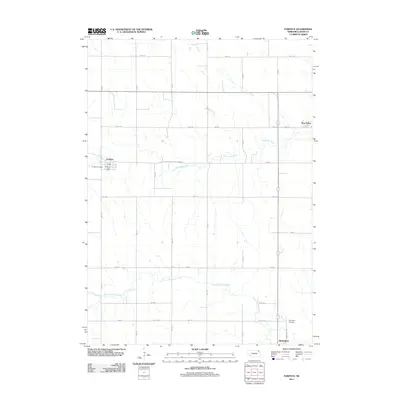
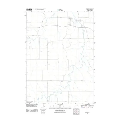 2011 Wynot2011 Print · USGSCovers Precinct 4, including Wynot, Saint James, and other nearby areas
 - 2011 Map of Saint Helena, 2011 Print
 2011 Saint Helena2011 Print · USGSCovers Precinct 4, including Saint Helena, Precinct 6, and other nearby areas
 - 2011 Map of Menominee, 2011 Print
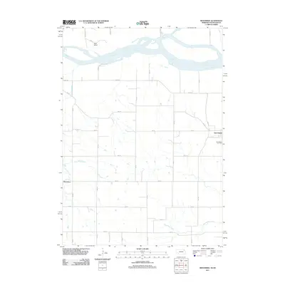 2011 Menominee2011 Print · USGSCovers Precinct 4, including Yankton, Menominee, and other nearby areas
 - 2011 Map of Fordyce, 2011 Print
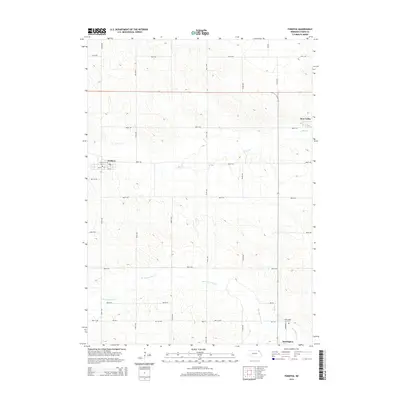
 2011 Fordyce2011 Print · USGSCovers Precinct 4, including Hartington, Fordyce, and other nearby areas
 - 2014 Map of Wynot, 2014 Print
 2014 Wynot2014 Print · USGSCovers Precinct 4, including Wynot, Saint James, and other nearby areas
 - 2014 Map of Menominee, 2014 Print
 2014 Menominee2014 Print · USGSCovers Precinct 4, including Yankton, Menominee, and other nearby areas
 - 2014 Map of Fordyce, 2014 Print
 2014 Fordyce2014 Print · USGSCovers Precinct 4, including Hartington, Fordyce, and other nearby areas
 - 2014 Map of Saint Helena, 2014 Print
 2014 Saint Helena2014 Print · USGSCovers Precinct 4, including Saint Helena, Precinct 6, and other nearby areas
 - 2017 Map of Wynot, 2017 Print
 2017 Wynot2017 Print · USGSCovers Precinct 4, including Wynot, Saint James, and other nearby areas
 - 2017 Map of Saint Helena, 2017 Print
 2017 Saint Helena2017 Print · USGSCovers Precinct 4, including Saint Helena, Precinct 6, and other nearby areas
 - 2017 Map of Menominee, 2017 Print
 2017 Menominee2017 Print · USGSCovers Precinct 4, including Yankton, Menominee, and other nearby areas
 - 2017 Map of Fordyce, 2017 Print
 2017 Fordyce2017 Print · USGSCovers Precinct 4, including Hartington, Fordyce, and other nearby areas
 - 2021 Map of Wynot, 2021 Print
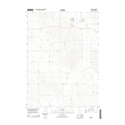
 2021 Wynot2021 Print · USGSWynot and the surrounding Cedar County farmlands are captured here in the early twenty-first century as the region maintains its quiet agricultural character. Researchers can locate family burial sites at Wynot Cem and Paragon Cem or trace the winding banks of Bow Creek.
 - 2021 Map of Fordyce, 2021 Print
 2021 Fordyce2021 Print · USGSNortheastern Nebraska's rolling farmland and rural townships are captured here just after the turn of the decade. Genealogists and local historians can trace the foundations of Fordyce and Bow Valley, or locate the Saint John Baptist Catholic Church and Hartington Cem.
 - 2021 Map of Saint Helena, 2021 Print
 2021 Saint Helena2021 Print · USGSThe Missouri River borderlands of Cedar County appear in great detail during the early 2020s, showing the interaction between the braided river and the Nebraska bluffs. Genealogists can locate family landmarks like Saint Helena Cem or trace the early industrial site at Bow Valley Mills.
 - 2021 Map of Menominee, 2021 Print
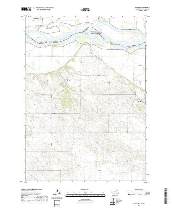 2021 Menominee2021 Print · USGSCedar County and the Missouri River border appear in this 2021 study of the Nebraska-South Dakota line. Trace the rural settlements of St. Helena and Menominee or explore the river corridor near Rush Island and the James River.
End of results
Showing maps 1-25 of 25
Top cities near Precinct 4
- Yankton historical maps
- Hartington historical maps
- Crofton historical maps
- Gayville historical maps
- Volin historical maps
- Mission Hill historical maps
See more
Top neighborhoods of Precinct 4
Frequently asked questions
- What are the different types of historical maps available for Precinct 4?
- What is the oldest map of Precinct 4?
- Where can I purchase historical maps of Precinct 4 for my home or office?
- Where can I download high-res historical maps of Precinct 4?
- Are there historical topographic maps available for Precinct 4?
- Is there historical aerial imagery available for Precinct 4?
- Where are historical maps of Precinct 4 sourced from?