2000s (21st Century) Maps of Precinct 7, Nebraska
Explore 16 historic maps of Precinct 7 from the 2000s (21st Century). These maps offer a rare glimpse into what life looked like during the 2000s — showing old roads, neighborhoods, homes, and landmarks that have changed or disappeared over time.
Whether you're researching your family's past, planning a metal detecting trip, or studying how Precinct 7's landscape evolved across the 2000s, these high-resolution maps are a powerful tool for exploring the history of this region.
- Focus on a specific era: All maps on this page are from the 2000s, giving you a focused view of this time period.
- See what’s changed: Compare century-old streets, trails, and buildings to today's modern landscape using overlays and satellite layers.
- Research with precision: Use these maps for genealogy, historical research, land use analysis, or educational projects.
- View, download, or print: Maps are fully viewable online in high resolution, and can be downloaded or printed for your own records.
Start exploring Precinct 7's history through authentic maps from the 2000s. This is your window into the past.
Precinct 7, NE maps
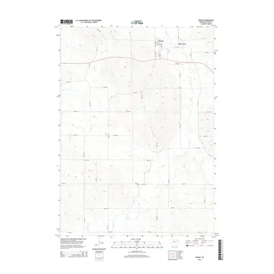
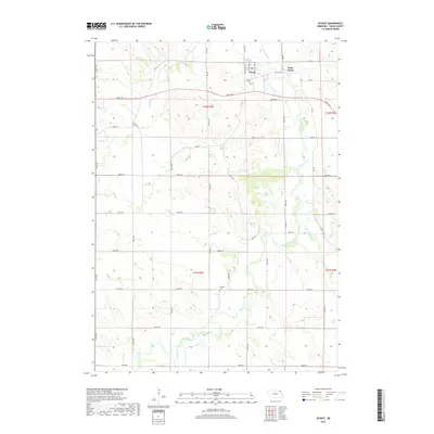
(16)- 2011 Map of Wynot, 2011 Print
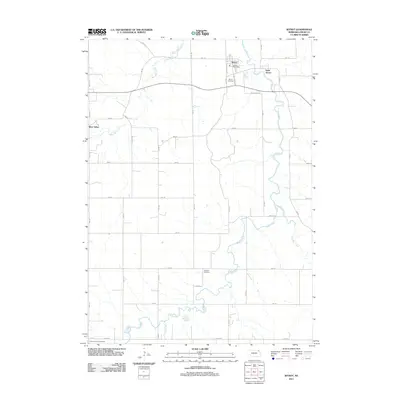 2011 Wynot2011 Print · USGSCovers Precinct 7, including Wynot, Saint James, and other nearby areas
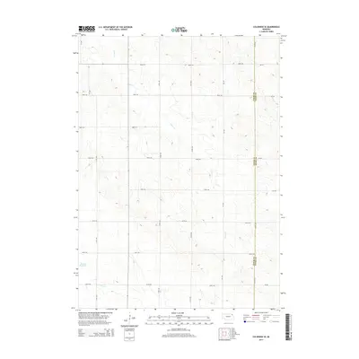
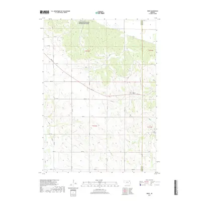
 - 2011 Map of Obert, 2011 Print
 2011 Obert2011 Print · USGSCovers Precinct 7, including Obert, Precinct 6, and other nearby areas
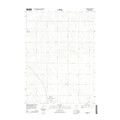
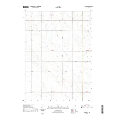
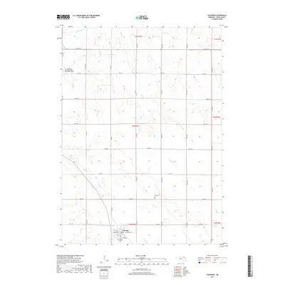
 - 2011 Map of Coleridge, 2011 Print
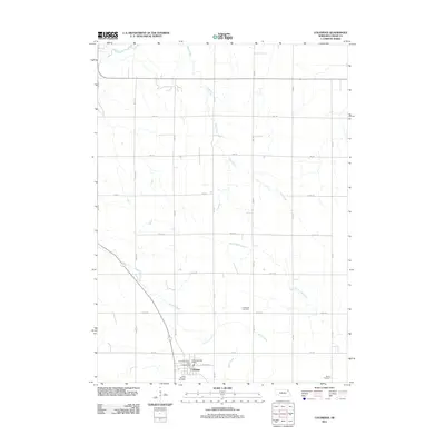 2011 Coleridge2011 Print · USGSCovers Precinct 7, including Coleridge, Precinct 8, and other nearby areas
 - 2011 Map of Coleridge SE, 2011 Print
 2011 Coleridge SE2011 Print · USGSCovers Precinct 7, including Clark Township, Daily Township, and other nearby areas
 - 2014 Map of Wynot, 2014 Print
 2014 Wynot2014 Print · USGSCovers Precinct 7, including Wynot, Saint James, and other nearby areas
 - 2014 Map of Obert, 2014 Print
 2014 Obert2014 Print · USGSCovers Precinct 7, including Obert, Precinct 6, and other nearby areas
 - 2014 Map of Coleridge SE, 2014 Print
 2014 Coleridge SE2014 Print · USGSCovers Precinct 7, including Clark Township, Daily Township, and other nearby areas
 - 2014 Map of Coleridge, 2014 Print
 2014 Coleridge2014 Print · USGSCovers Precinct 7, including Coleridge, Precinct 8, and other nearby areas
 - 2017 Map of Wynot, 2017 Print
 2017 Wynot2017 Print · USGSCovers Precinct 7, including Wynot, Saint James, and other nearby areas
 - 2017 Map of Coleridge SE, 2017 Print
 2017 Coleridge SE2017 Print · USGSCovers Precinct 7, including Clark Township, Daily Township, and other nearby areas
 - 2017 Map of Obert, 2017 Print
 2017 Obert2017 Print · USGSCovers Precinct 7, including Obert, Precinct 6, and other nearby areas
 - 2017 Map of Coleridge, 2017 Print
 2017 Coleridge2017 Print · USGSCovers Precinct 7, including Coleridge, Precinct 8, and other nearby areas
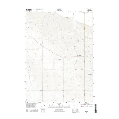
 - 2021 Map of Wynot, 2021 Print
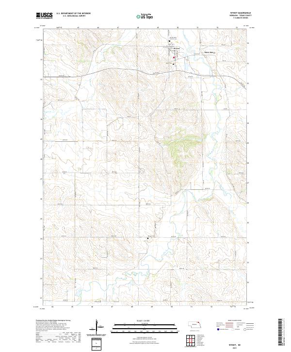 2021 Wynot2021 Print · USGSWynot and the surrounding Cedar County farmlands are captured here in the early twenty-first century as the region maintains its quiet agricultural character. Researchers can locate family burial sites at Wynot Cem and Paragon Cem or trace the winding banks of Bow Creek.
 - 2021 Map of Obert, 2021 Print
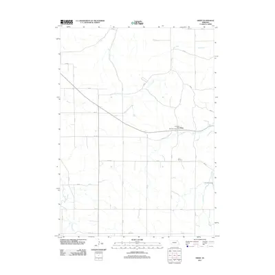
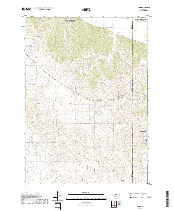 2021 Obert2021 Print · USGSNorthern Cedar County at the turn of the 21st century is characterized by its agricultural grid and the sweep of the Missouri National Recreation River. Researchers can locate old family burial sites at Obert Cem and trace the paths of East Bow Creek and the settlement of Lime Grove.
 - 2021 Map of Coleridge SE, 2021 Print
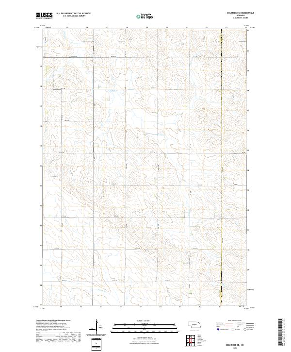 2021 Coleridge SE2021 Print · USGSCedar County and Dixon County farmland is captured here in the early 2020s, showcasing the enduring section-line grid of the Nebraska countryside. Genealogists and land researchers can trace property boundaries along 882nd Rd and follow the path of E Bow Cr.
 - 2021 Map of Coleridge, 2021 Print
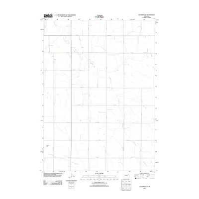
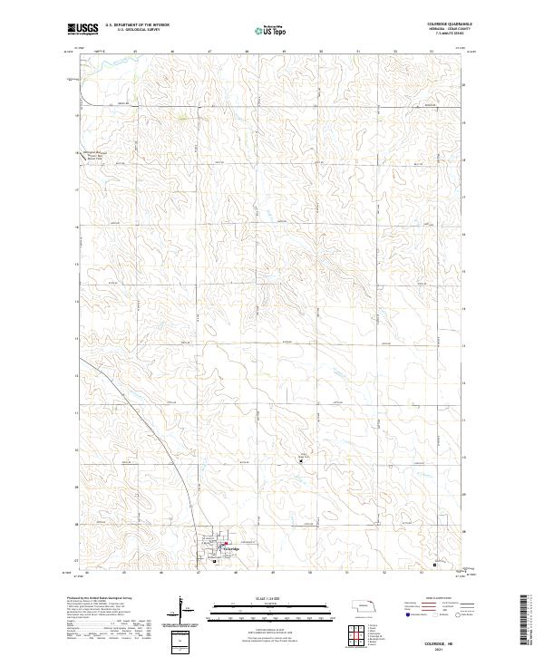 2021 Coleridge2021 Print · USGSNortheast Nebraska's high plains are documented here in the early twenty-first century, centered on the village of Coleridge. Genealogists and local historians can trace rural burial sites like Lawn Ridge Cem and Norris Cem along the banks of Kerloo Cr.
End of results
Showing maps 1-16 of 16
Top cities near Precinct 7
- Vermillion historical maps
- Hartington historical maps
- Laurel historical maps
- Coleridge historical maps
- Newcastle historical maps
- Meckling historical maps
See more
Top neighborhoods of Precinct 7
Frequently asked questions
- What are the different types of historical maps available for Precinct 7?
- What is the oldest map of Precinct 7?
- Where can I purchase historical maps of Precinct 7 for my home or office?
- Where can I download high-res historical maps of Precinct 7?
- Are there historical topographic maps available for Precinct 7?
- Is there historical aerial imagery available for Precinct 7?
- Where are historical maps of Precinct 7 sourced from?