2000s (21st Century) Maps of St. Helena, Nebraska
Explore 8 historic maps of St. Helena from the 2000s (21st Century). These maps offer a rare glimpse into what life looked like during the 2000s — showing old roads, neighborhoods, homes, and landmarks that have changed or disappeared over time.
Whether you're researching your family's past, planning a metal detecting trip, or studying how St. Helena's landscape evolved across the 2000s, these high-resolution maps are a powerful tool for exploring the history of this region.
- Focus on a specific era: All maps on this page are from the 2000s, giving you a focused view of this time period.
- See what’s changed: Compare century-old streets, trails, and buildings to today's modern landscape using overlays and satellite layers.
- Research with precision: Use these maps for genealogy, historical research, land use analysis, or educational projects.
- View, download, or print: Maps are fully viewable online in high resolution, and can be downloaded or printed for your own records.
Start exploring St. Helena's history through authentic maps from the 2000s. This is your window into the past.
St. Helena, NE maps
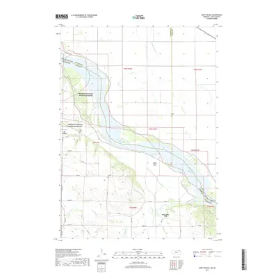
(8)- 2011 Map of Saint Helena, 2011 Print
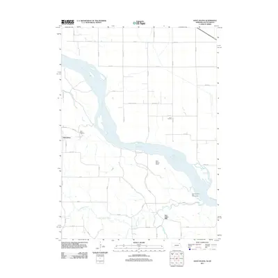 2011 Saint Helena2011 Print · USGSCovers St. Helena, including Saint Helena, Precinct 6, and other nearby areas
 - 2011 Map of Menominee, 2011 Print
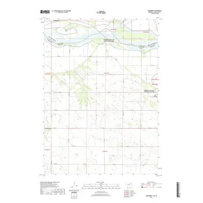
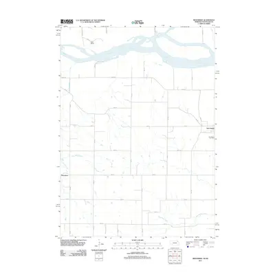 2011 Menominee2011 Print · USGSCovers St. Helena, including Yankton, Precinct 4, and other nearby areas
 - 2014 Map of Menominee, 2014 Print
 2014 Menominee2014 Print · USGSCovers St. Helena, including Yankton, Precinct 4, and other nearby areas
 - 2014 Map of Saint Helena, 2014 Print
 2014 Saint Helena2014 Print · USGSCovers St. Helena, including Saint Helena, Precinct 6, and other nearby areas
 - 2017 Map of Saint Helena, 2017 Print
 2017 Saint Helena2017 Print · USGSCovers St. Helena, including Saint Helena, Precinct 6, and other nearby areas
 - 2017 Map of Menominee, 2017 Print
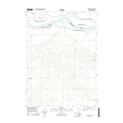
 2017 Menominee2017 Print · USGSCovers St. Helena, including Yankton, Precinct 4, and other nearby areas
 - 2021 Map of Saint Helena, 2021 Print
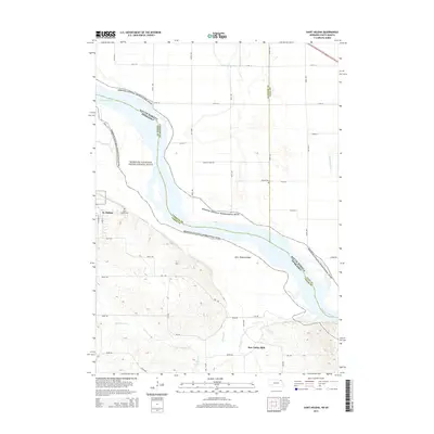
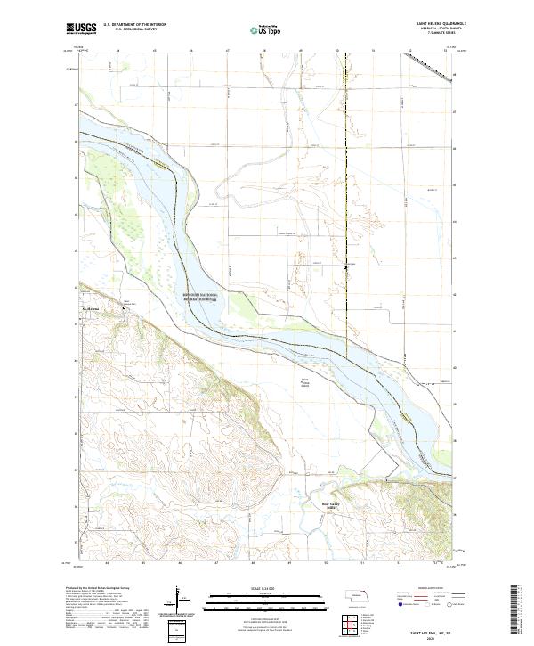 2021 Saint Helena2021 Print · USGSThe Missouri River borderlands of Cedar County appear in great detail during the early 2020s, showing the interaction between the braided river and the Nebraska bluffs. Genealogists can locate family landmarks like Saint Helena Cem or trace the early industrial site at Bow Valley Mills.
 - 2021 Map of Menominee, 2021 Print
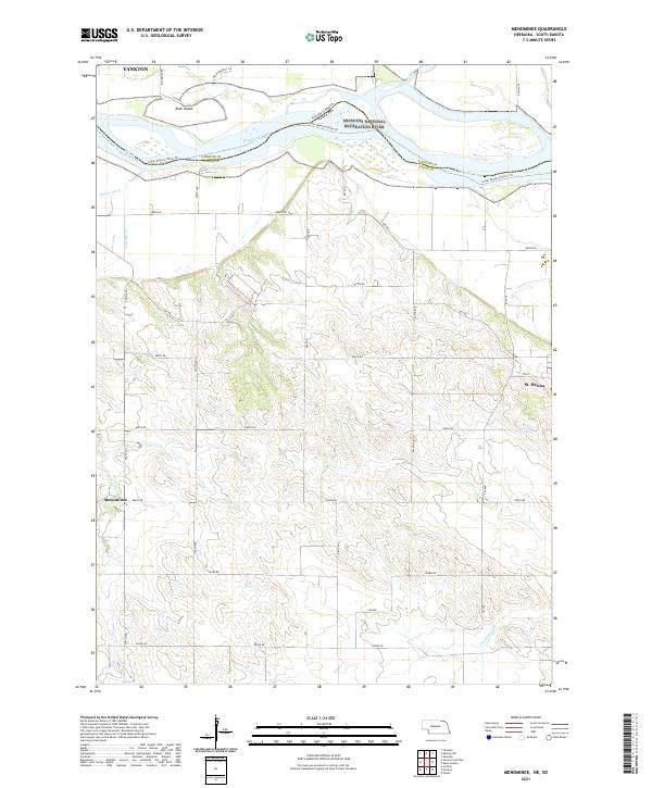 2021 Menominee2021 Print · USGSCedar County and the Missouri River border appear in this 2021 study of the Nebraska-South Dakota line. Trace the rural settlements of St. Helena and Menominee or explore the river corridor near Rush Island and the James River.
End of results
Showing maps 1-8 of 8
Top cities near St. Helena
- Yankton historical maps
- Hartington historical maps
- Gayville historical maps
- Wakonda historical maps
- Meckling historical maps
- Volin historical maps
See more
Top neighborhoods of St. Helena
Frequently asked questions
- What are the different types of historical maps available for St. Helena?
- What is the oldest map of St. Helena?
- Where can I purchase historical maps of St. Helena for my home or office?
- Where can I download high-res historical maps of St. Helena?
- Are there historical topographic maps available for St. Helena?
- Is there historical aerial imagery available for St. Helena?
- Where are historical maps of St. Helena sourced from?