Old Maps of Point of Rocks, Nebraska
Explore 8 old maps of Point of Rocks, spanning from 1954 to today. These high-resolution historic maps reveal how streets, neighborhoods, landmarks, and natural features evolved over time — perfect for genealogy, metal detecting, research, and local history exploration.
What you can do with these maps:
- See how Point of Rocks changed over time: Compare historical maps to modern-day views to trace roads, homesites, rail lines & more.
- View detailed metadata: Each map includes creators, publishers, year, scale, and archive source.
- Overlay maps with satellite & LiDAR: Visualize the past alongside modern tools to explore terrain & human change.
- Trusted historical sources: Maps sourced from the USGS, Library of Congress, and other archives.
- Access maps your way: View online, download high-res files, or order prints for personal or research use.
Start exploring old maps of Point of Rocks to uncover forgotten places, hidden landmarks, and the deep history beneath your feet.
Point of Rocks, NE maps
(8)- 1954 Map of Scottsbluff, 1958 Print
 1954 Scottsbluff1958 Print · USGSThe Nebraska Panhandle's iconic landmarks and rail corridors are captured here during the mid-1950s. Researchers can trace the path of the North Platte River past Chimney Rock or locate the sprawling Sioux Ordnance Depot and the historic streets of Sidney.3 unique versions available
 - 1958 Map of Scottsbluff
 1958 Scottsbluff1958 Print · USGSThe Nebraska panhandle in the late fifties was a vital corridor of rail-and-river transport defined by the North Platte River and the Union Pacific. Genealogists and historians can trace rail stops like Reddus Station, explore the grounds of the Sioux Ordnance Depot, or locate landmarks like Chimney Rock.2 unique versions available
 - 1972 Map of Point Of Rocks, 1975 Print
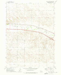 1972 Point Of Rocks1975 Print · USGSCheyenne County's High Plains landscape is captured here in the early seventies, showing the vital transit corridor along Lodgepole Creek. Local historians can trace the parallel routes of the Union Pacific and Interstate 80 near the landmark Point of Rocks.
 - 1985 Map of Kimball
 1985 Kimball1985 Print · USGSThe Nebraska-Colorado borderlands in the mid-1980s show a landscape of oil production and transcontinental rail. Trace the rail corridor through Bushnell, Dix, and Potter or locate the sprawling Ammunition Depot (Abandoned) near Brownson.2 unique versions available
 - 2011 Map of Point of Rocks, 2011 Print
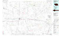
 2011 Point of Rocks2011 Print · USGSCovers Point of Rocks, including Cheyenne County, United States, and other nearby areas
 - 2014 Map of Point of Rocks, 2014 Print
 2014 Point of Rocks2014 Print · USGSCovers Point of Rocks, including Cheyenne County, United States, and other nearby areas
 - 2017 Map of Point of Rocks, 2017 Print
 2017 Point of Rocks2017 Print · USGSCovers Point of Rocks, including Cheyenne County, United States, and other nearby areas
 - 2021 Map of Point of Rocks, 2021 Print
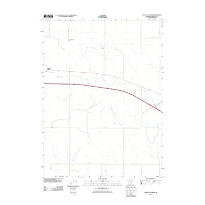
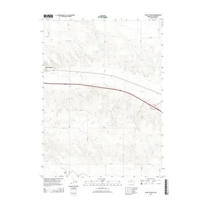
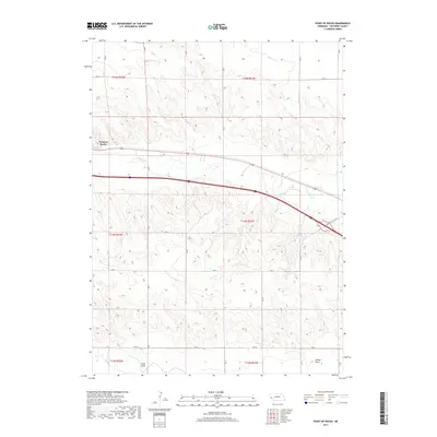
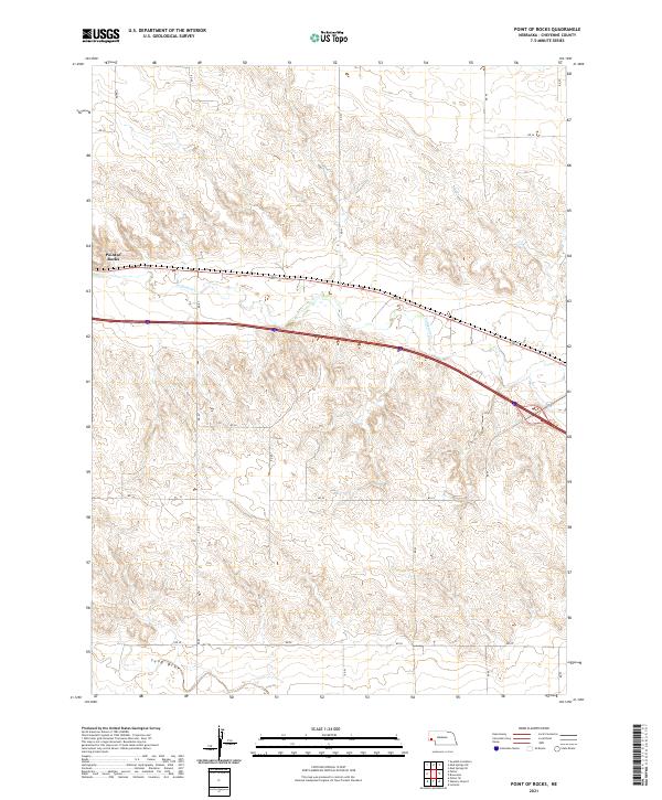 2021 Point of Rocks2021 Print · USGSWestern Nebraska's High Plains are captured here in the early twenty-first century, showing a landscape defined by ranching and wide-open horizons. Researchers can trace the path of Lodgepole Cr and locate the topographic landmark at Point of Rocks.
End of results
Showing maps 1-8 of 8
Top cities near Point of Rocks
Frequently asked questions
- What are the different types of historical maps available for Point of Rocks?
- What is the oldest map of Point of Rocks?
- Where can I purchase historical maps of Point of Rocks for my home or office?
- Where can I download high-res historical maps of Point of Rocks?
- Are there historical topographic maps available for Point of Rocks?
- Is there historical aerial imagery available for Point of Rocks?
- Where are historical maps of Point of Rocks sourced from?