Old Maps of Sunol, Nebraska for Metal Detecting
Plan your next treasure hunt with 9 historic maps of Sunol. Find old homesites, ghost towns, trails, and gathering spots that may be lost to time — perfect for identifying promising metal detecting locations.
- Locate forgotten sites: Uncover places like long-lost settlements, abandoned rail lines, or gathering spots.
- Plan better hunts: Use map overlays combined with LiDAR or satellite views to narrow in on historically rich areas.
- Made for detectorists: Thousands of hobbyists use these maps to discover relics, coins, and hidden history.
Use these historic maps to boost your research and find new opportunities beneath the surface of Sunol.
Sunol, NE maps
(9)- 1899 Map of Sidney
 1899 Sidney1899 Print · USGSCheyenne County at the end of the nineteenth century centers on the vital Union Pacific R.R. corridor and the high plains cattle trade. Genealogists and researchers can trace the early layout of Sidney, follow the flow of Lodgepole Creek, and locate pioneer landmarks like Courthouse Rock and Weyerts.3 unique versions available
 - 1954 Map of Scottsbluff, 1958 Print
 1954 Scottsbluff1958 Print · USGSThe Nebraska Panhandle's iconic landmarks and rail corridors are captured here during the mid-1950s. Researchers can trace the path of the North Platte River past Chimney Rock or locate the sprawling Sioux Ordnance Depot and the historic streets of Sidney.3 unique versions available
 - 1958 Map of Scottsbluff
 1958 Scottsbluff1958 Print · USGSThe Nebraska panhandle in the late fifties was a vital corridor of rail-and-river transport defined by the North Platte River and the Union Pacific. Genealogists and historians can trace rail stops like Reddus Station, explore the grounds of the Sioux Ordnance Depot, or locate landmarks like Chimney Rock.2 unique versions available
 - 1972 Map of Sunol, 1975 Print
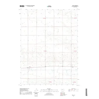
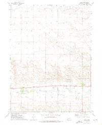 1972 Sunol1975 Print · USGSCheyenne County as it appeared in the early 1970s shows a landscape defined by the Union Pacific railroad and the energy industry. Genealogists and historians can trace the community of Sunol, find the Liberty Sch, and locate numerous Oil Wells across the northern plateau.
 - 1985 Map of Chappell, 1986 Print
 1985 Chappell1986 Print · USGSThe Nebraska panhandle comes into focus in the mid-1980s, where the historic Oregon Trail meets the modern Union Pacific rail lines. Trace family roots and land patterns in Sidney, Chappell, and near the Bluewater Battlefield Overlook Site.2 unique versions available
 - 2011 Map of Sunol, 2011 Print
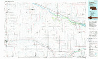
 2011 Sunol2011 Print · USGSCovers Sunol, including Colton, Cheyenne County, and other nearby areas
 - 2014 Map of Sunol, 2014 Print
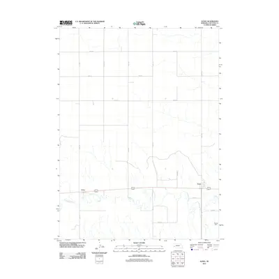
 2014 Sunol2014 Print · USGSCovers Sunol, including Colton, Cheyenne County, and other nearby areas
 - 2017 Map of Sunol, 2017 Print
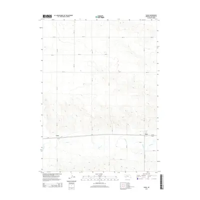
 2017 Sunol2017 Print · USGSCovers Sunol, including Colton, Cheyenne County, and other nearby areas
 - 2021 Map of Sunol, 2021 Print
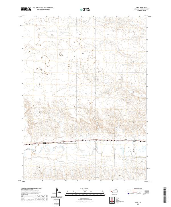 2021 Sunol2021 Print · USGSCheyenne County at the start of the 2020s shows a landscape still defined by the historic corridor of the Lodgepole Cr valley. Researchers can trace the section-line roads and small rail-aligned settlements of Sunol and Colton as they exist today.
End of results
Showing maps 1-9 of 9
Top cities near Sunol
Frequently asked questions
- What are the different types of historical maps available for Sunol?
- What is the oldest map of Sunol?
- Where can I purchase historical maps of Sunol for my home or office?
- Where can I download high-res historical maps of Sunol?
- Are there historical topographic maps available for Sunol?
- Is there historical aerial imagery available for Sunol?
- Where are historical maps of Sunol sourced from?