Old Maps of Broken Bow, Nebraska for Hiking & Exploration
Hike through history with 13 historic maps of Broken Bow. Explore old trails, ghost towns, and forgotten backroads — perfect for outdoor adventurers and local explorers.
- Rediscover forgotten places: Map out old mining camps, roads, and footpaths that no longer exist on modern maps.
- Layer with modern tools: Combine with LiDAR or satellite views to plan hikes through historical terrain.
- Made for exploration: Popular among hikers, overlanders, and local history lovers.
Use these maps to find adventure and explore the hidden past of Broken Bow.
Broken Bow, NE maps
(13)- 1951 Map of Broken Bow NE, 1952 Print
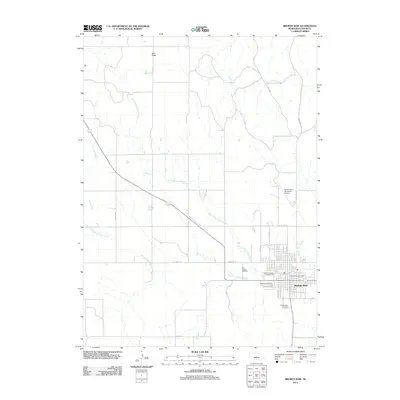
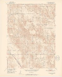 1951 Broken Bow NE1952 Print · USGSCuster County life in the early fifties was centered on the valleys and rail lines that connected these Nebraska townships. Genealogists can trace family roots through several rural landmarks, such as Bethel Ch, Reed Valley Sch, and the Broken Bow Fairground.3 unique versions available
 - 1951 Map of Broken Bow, 1952 Print
 1951 Broken Bow1952 Print · USGSBroken Bow emerges as a mid-century rail and agricultural hub in this detailed survey of Custer County. Genealogists can trace family roots through numerous rural landmarks like East Table Sch, St Joseph Cem, and the Custer Center Ch.4 unique versions available
 - 1955 Map of Broken Bow
 1955 Broken Bow1955 Print · USGSCentral Nebraska in the mid-fifties is defined by the sweeping Sand Hills and the vital river valleys that supported its ranching and rail towns. Researchers can trace the rail corridors of the Union Pacific RR and locate settlements like Dannebrog, Broken Bow, and Brewster.5 unique versions available
 - 1956 Map of Broken Bow
 1956 Broken Bow1956 Print · USGSCentral Nebraska during the mid-fifties reveals a region defined by its river-valley railroads and the rolling Sand Hills. Genealogists and local historians can trace the paths of the Chicago Burlington and Quincy through towns like Broken Bow, Merna, and Anselmo.
 - 1985 Map of Broken Bow
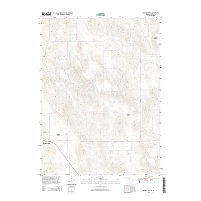
 1985 Broken Bow1985 Print · USGSCuster County in the mid-1980s displays a landscape of high tablelands and river valleys shaped by the reach of the railroad. Genealogists and researchers can trace the old rail stops along Mud Creek, from Berwyn to Litchfield, or locate land near Redfern Table and West Table.2 unique versions available
 - 2011 Map of Broken Bow NE, 2011 Print
 2011 Broken Bow NE2011 Print · USGSCovers Broken Bow, including Custer County, United States, and other nearby areas
 - 2011 Map of Broken Bow, 2011 Print
 2011 Broken Bow2011 Print · USGSCovers Broken Bow, including Custer County, United States, and other nearby areas
 - 2014 Map of Broken Bow NE, 2014 Print
 2014 Broken Bow NE2014 Print · USGSCovers Broken Bow, including Custer County, United States, and other nearby areas
 - 2014 Map of Broken Bow, 2014 Print
 2014 Broken Bow2014 Print · USGSCovers Broken Bow, including Custer County, United States, and other nearby areas
 - 2017 Map of Broken Bow NE, 2017 Print
 2017 Broken Bow NE2017 Print · USGSCovers Broken Bow, including Custer County, United States, and other nearby areas
 - 2017 Map of Broken Bow, 2017 Print
 2017 Broken Bow2017 Print · USGSCovers Broken Bow, including Custer County, United States, and other nearby areas
 - 2021 Map of Broken Bow NE, 2021 Print
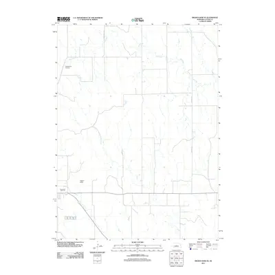
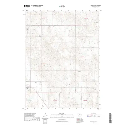
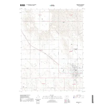
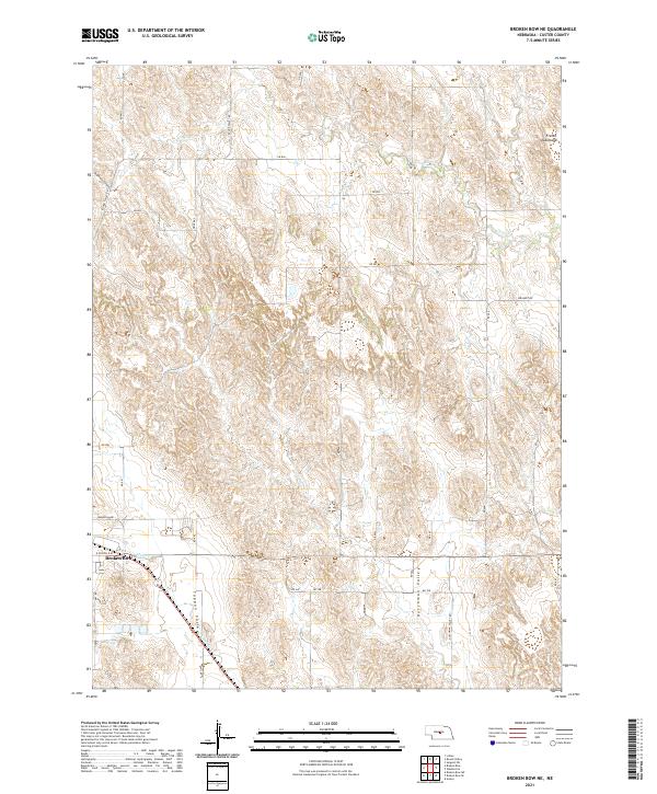 2021 Broken Bow NE2021 Print · USGSCuster County in the early twenty-first century reveals a landscape of high tablelands and deeply cut valleys north of Broken Bow. Researchers can trace the agricultural layout along Dutchman Valley Rd or explore the terrain of Deadmans Canyon and French Tableland.
 - 2021 Map of Broken Bow, 2021 Print
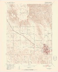
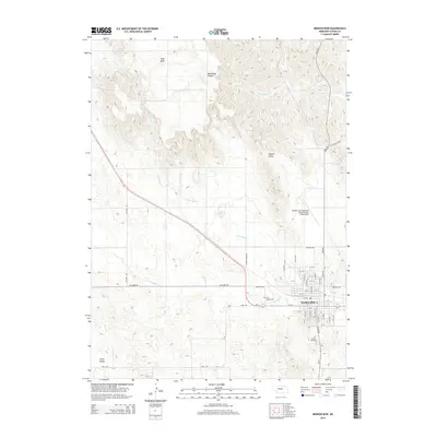
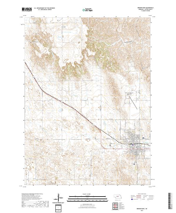 2021 Broken Bow2021 Print · USGSThe county seat of Broken Bow is shown in detail during the early 2020s, highlighting its role as a regional hub in the Nebraska Sandhills. Researchers can locate the Custer County Courthouse, trace the Burlington Northern Santa Fe rail line, and find family names at Saint Joseph Cem.
End of results
Showing maps 1-13 of 13
Top cities near Broken Bow
Frequently asked questions
- What are the different types of historical maps available for Broken Bow?
- What is the oldest map of Broken Bow?
- Where can I purchase historical maps of Broken Bow for my home or office?
- Where can I download high-res historical maps of Broken Bow?
- Are there historical topographic maps available for Broken Bow?
- Is there historical aerial imagery available for Broken Bow?
- Where are historical maps of Broken Bow sourced from?