Old Maps of Dakota Precinct, Nebraska for Academic Research
Study the evolution of Dakota Precinct with 29 high-resolution historic maps. Whether you're teaching, researching, or modeling changes in land use, these maps provide essential visual documentation of urban, environmental, and geographic change.
- Analyze long-term change: Track patterns in development, transportation, and natural features.
- Ideal for environmental or urban studies: Support academic projects with primary historical map data.
- Use in the classroom or lab: Educators and researchers rely on these maps to bring historical context to life.
These maps are a powerful tool for teaching, research, and visualizing how Dakota Precinct has changed over the decades.
Dakota Precinct, NE maps
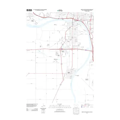
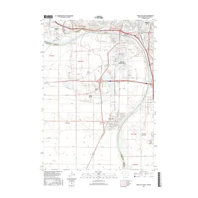
(29)- 1955 Map of Sioux City, 1959 Print
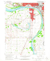
 1955 Sioux City1959 Print · USGSThe Missouri River valley in the mid-fifties is captured here during a time of major engineering and social transition. Genealogists and historians can trace the foundations of Gavins Point Dam, tribal boundaries on the Santee Sioux Indian Reservation, and local landmarks like the Norfolk State Hospital.4 unique versions available
 - 1958 Map of Sioux City
 1958 Sioux City1958 Print · USGSThe Missouri River valley in the late fifties was a bustling intersection of tribal lands, rail corridors, and river towns. Genealogists can trace family roots through specific rural sites like Daisy Valley School, St Johns Church and School, and Yankton State Hospital.
 - 1959 Map of Sioux City
 1959 Sioux City1959 Print · USGSThe tri-state region surrounding the Missouri River is captured here in the late fifties, showing the convergence of Nebraska, South Dakota, and Iowa. Researchers can trace rural lineages through numerous country schoolhouses like Cemetery School and the many numbered Washington School districts.
 - 1963 Map of Sioux City South, 1964 Print
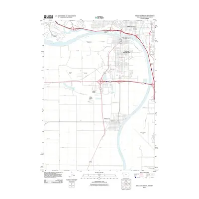
 1963 Sioux City South1964 Print · USGSThe tri-state river junction between Nebraska, Iowa, and South Dakota hums with mid-century activity along the Missouri and Big Sioux Rivers. Genealogists can trace old family roots at Salem Ch, St Michaels Cem, or the rural Hileman Sch.4 unique versions available
 - 1964 Map of Homer, 1966 Print
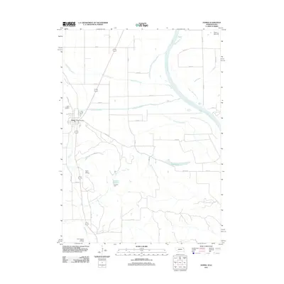
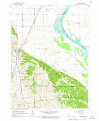 1964 Homer1966 Print · USGSNear the Missouri River in the mid-1960s, this area of Dakota County reveals a landscape shaped by the Winnebago reservation and the rail lines. Genealogists and local historians can trace the community of Homer alongside St Cornelius Cem, Omaha Valley Cem, and the old Combs Sch.2 unique versions available
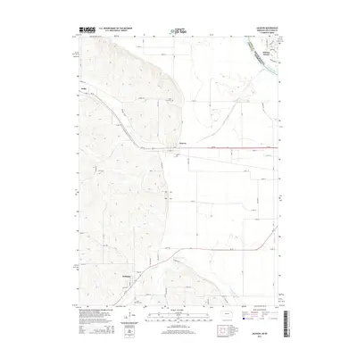
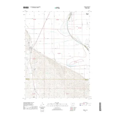
 - 1967 Map of Jackson, 1969 Print
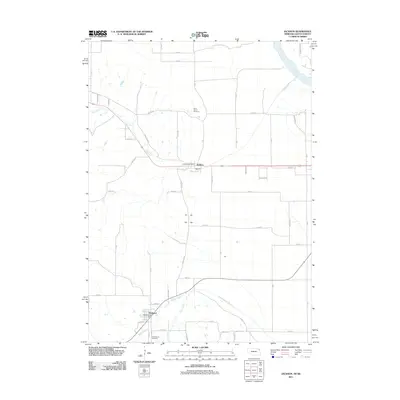
 1967 Jackson1969 Print · USGSThe tri-state border region of Nebraska, South Dakota, and Iowa is captured in the late sixties, where the Big Sioux meets the Missouri River. Trace rail history and family sites through Jackson and Hubbard, including St Johns Cem.2 unique versions available
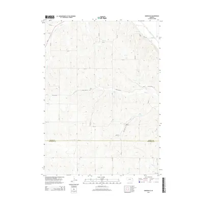
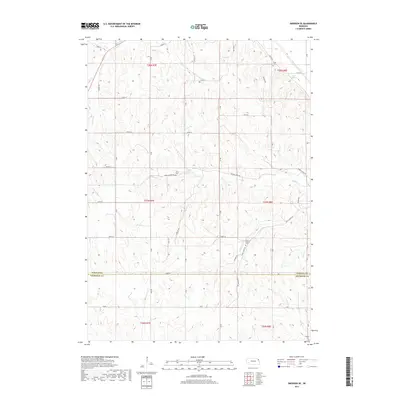
 - 1967 Map of Emerson SE, 1969 Print
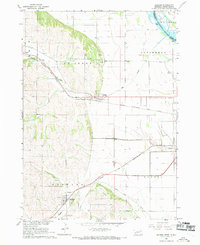
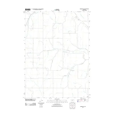
 1967 Emerson SE1969 Print · USGSDakota and Thurston counties are captured here in the late sixties, showing the rural landscape bordering the Winnebago Indian Reservation. Researchers can locate numerous local burial sites like Taylor Cem and trace the original Chicago and North Western rail line.
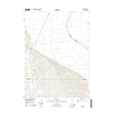
 - 1977 Map of Homer, 1979 Print
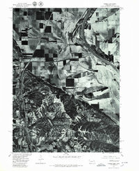 1977 Homer1979 Print · USGSHomer and the Missouri River valley appear in sharp detail during the late seventies through this aerial orthophotograph. Genealogists and local historians can trace the town of Homer and the water management patterns along Omaha Creek and the Missouri River.
 - 1986 Map of Sioux City South
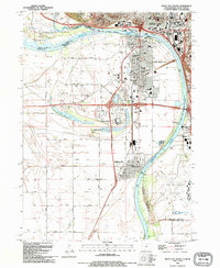
 1986 Sioux City South1986 Print · USGSThe tri-state borderlands of Iowa, Nebraska, and South Dakota come into focus in the mid-1980s as a landscape of tribal lands and rail corridors. Researchers can trace the extensive boundaries of the Winnebago Indian Reservation and find local landmarks like Morningside College and Martin Field.2 unique versions available
 - 1993 Map of Sioux City South, 1995 Print
 1993 Sioux City South1995 Print · USGSThe Missouri River tri-state border region comes alive in the early nineties, showing the intersection of Iowa, Nebraska, and South Dakota. Trace community roots through St Michaels Cem, Salem Ch, and the streets of Dakota City.
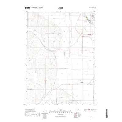
 - 1993 Map of Jackson, 1995 Print
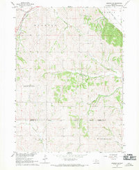
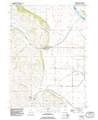 1993 Jackson1995 Print · USGSDakota County, Nebraska, is captured here in the early nineties as the communities of Jackson and Hubbard thrived alongside the river bluffs. Researchers can trace family sites at St Johns Cem and St Marys Cem or locate old transit lines along the Old Grade and Knox Boulevard.
 - 2010 Map of Homer, 2010 Print
 2010 Homer2010 Print · USGSCovers Dakota Precinct, including Sioux City, Homer, and other nearby areas
 - 2011 Map of Emerson SE, 2011 Print
 2011 Emerson SE2011 Print · USGSCovers Dakota Precinct, including Omadi Precinct, Emerson Precinct, and other nearby areas
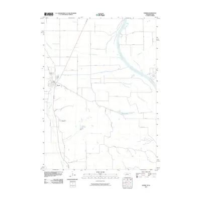
 - 2011 Map of Homer, 2011 Print
 2011 Homer2011 Print · USGSCovers Dakota Precinct, including Sioux City, Homer, and other nearby areas
 - 2011 Map of Jackson, 2011 Print
 2011 Jackson2011 Print · USGSCovers Dakota Precinct, including Dakota Dunes, Hubbard, and other nearby areas
 - 2012 Map of Sioux City South, 2012 Print
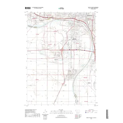
 2012 Sioux City South2012 Print · USGSCovers Dakota Precinct, including Sioux City, South Sioux City, and other nearby areas
 - 2013 Map of Sioux City South, 2013 Print
 2013 Sioux City South2013 Print · USGSCovers Dakota Precinct, including Sioux City, South Sioux City, and other nearby areas
 - 2014 Map of Jackson, 2014 Print
 2014 Jackson2014 Print · USGSCovers Dakota Precinct, including Dakota Dunes, Hubbard, and other nearby areas
 - 2014 Map of Emerson SE, 2014 Print
 2014 Emerson SE2014 Print · USGSCovers Dakota Precinct, including Omadi Precinct, Emerson Precinct, and other nearby areas
 - 2014 Map of Homer, 2014 Print
 2014 Homer2014 Print · USGSCovers Dakota Precinct, including Sioux City, Homer, and other nearby areas
 - 2015 Map of Sioux City South, 2015 Print
 2015 Sioux City South2015 Print · USGSCovers Dakota Precinct, including Sioux City, South Sioux City, and other nearby areas
 - 2017 Map of Emerson SE, 2017 Print
 2017 Emerson SE2017 Print · USGSCovers Dakota Precinct, including Omadi Precinct, Emerson Precinct, and other nearby areas
 - 2017 Map of Homer, 2017 Print
 2017 Homer2017 Print · USGSCovers Dakota Precinct, including Sioux City, Homer, and other nearby areas
 - 2017 Map of Jackson, 2017 Print
 2017 Jackson2017 Print · USGSCovers Dakota Precinct, including Dakota Dunes, Hubbard, and other nearby areas
 - 2018 Map of Sioux City South, 2018 Print
 2018 Sioux City South2018 Print · USGSCovers Dakota Precinct, including Sioux City, South Sioux City, and other nearby areas
Showing maps 1-25 of 29
Top cities near Dakota Precinct
- Sioux City historical maps
- South Sioux City historical maps
- Sergeant Bluff historical maps
- Dakota Dunes historical maps
- North Sioux City historical maps
- Dakota City historical maps
See more
Top neighborhoods of Dakota Precinct
Frequently asked questions
- What are the different types of historical maps available for Dakota Precinct?
- What is the oldest map of Dakota Precinct?
- Where can I purchase historical maps of Dakota Precinct for my home or office?
- Where can I download high-res historical maps of Dakota Precinct?
- Are there historical topographic maps available for Dakota Precinct?
- Is there historical aerial imagery available for Dakota Precinct?
- Where are historical maps of Dakota Precinct sourced from?