2000s (21st Century) Maps of Omadi Precinct, Nebraska
Explore 14 historic maps of Omadi Precinct from the 2000s (21st Century). These maps offer a rare glimpse into what life looked like during the 2000s — showing old roads, neighborhoods, homes, and landmarks that have changed or disappeared over time.
Whether you're researching your family's past, planning a metal detecting trip, or studying how Omadi Precinct's landscape evolved across the 2000s, these high-resolution maps are a powerful tool for exploring the history of this region.
- Focus on a specific era: All maps on this page are from the 2000s, giving you a focused view of this time period.
- See what’s changed: Compare century-old streets, trails, and buildings to today's modern landscape using overlays and satellite layers.
- Research with precision: Use these maps for genealogy, historical research, land use analysis, or educational projects.
- View, download, or print: Maps are fully viewable online in high resolution, and can be downloaded or printed for your own records.
Start exploring Omadi Precinct's history through authentic maps from the 2000s. This is your window into the past.
Omadi Precinct, NE maps
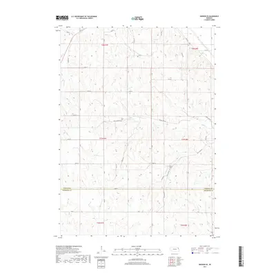
(14)- 2010 Map of Homer, 2010 Print
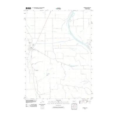 2010 Homer2010 Print · USGSCovers Omadi Precinct, including Sioux City, Homer, and other nearby areas
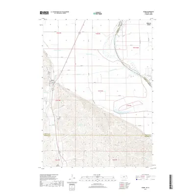
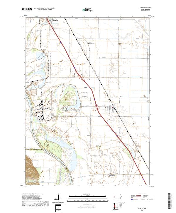
 - 2010 Map of Salix, 2010 Print
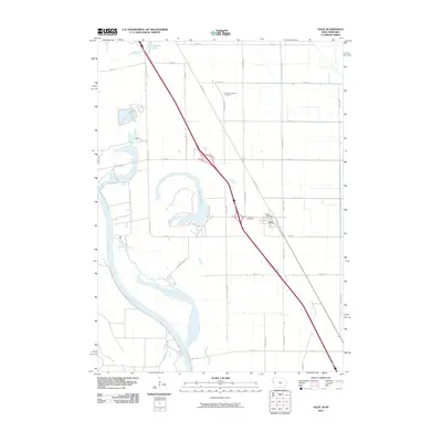 2010 Salix2010 Print · USGSCovers Omadi Precinct, including Sioux City, Salix, and other nearby areas
 - 2011 Map of Emerson SE, 2011 Print
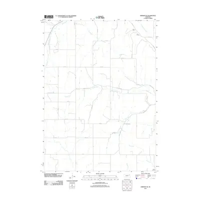 2011 Emerson SE2011 Print · USGSCovers Omadi Precinct, including Dakota Precinct, Emerson Precinct, and other nearby areas
 - 2011 Map of Homer, 2011 Print
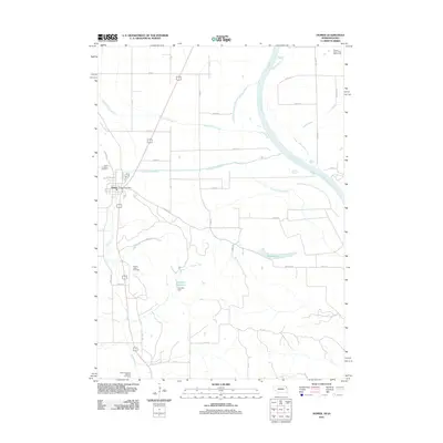 2011 Homer2011 Print · USGSCovers Omadi Precinct, including Sioux City, Homer, and other nearby areas
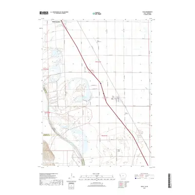
 - 2013 Map of Salix, 2013 Print
 2013 Salix2013 Print · USGSCovers Omadi Precinct, including Sioux City, Salix, and other nearby areas
 - 2014 Map of Emerson SE, 2014 Print
 2014 Emerson SE2014 Print · USGSCovers Omadi Precinct, including Dakota Precinct, Emerson Precinct, and other nearby areas
 - 2014 Map of Homer, 2014 Print
 2014 Homer2014 Print · USGSCovers Omadi Precinct, including Sioux City, Homer, and other nearby areas
 - 2015 Map of Salix, 2015 Print
 2015 Salix2015 Print · USGSCovers Omadi Precinct, including Sioux City, Salix, and other nearby areas
 - 2017 Map of Emerson SE, 2017 Print
 2017 Emerson SE2017 Print · USGSCovers Omadi Precinct, including Dakota Precinct, Emerson Precinct, and other nearby areas
 - 2017 Map of Homer, 2017 Print
 2017 Homer2017 Print · USGSCovers Omadi Precinct, including Sioux City, Homer, and other nearby areas
 - 2018 Map of Salix, 2018 Print
 2018 Salix2018 Print · USGSCovers Omadi Precinct, including Sioux City, Salix, and other nearby areas
 - 2021 Map of Homer, 2021 Print
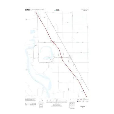
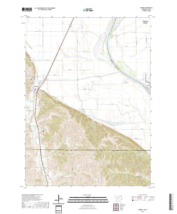 2021 Homer2021 Print · USGSThe Missouri River floodplain meets the Nebraska hills in this contemporary survey of Dakota County. Researchers can trace family history at Saint Cornelius Cem or follow the water management systems of Omaha Creek Ditch and Blyburg Lake.
 - 2021 Map of Emerson SE, 2021 Print
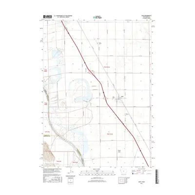
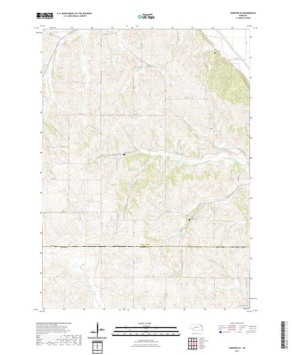 2021 Emerson SE2021 Print · USGSDakota and Thurston counties are captured here in the early 2020s, showing a rural Nebraska landscape shaped by its winding creek systems. Genealogists and local historians can locate remote burial sites like Hale Cem, Green Valley Cem, and James Rave Cem.
 - 2022 Map of Salix, 2022 Print
 2022 Salix2022 Print · USGSThe Woodbury County plains and the Missouri River bottomlands come into focus in this recent survey of the Salix area. Researchers can trace rural lineages at Saint Josephs Cem or locate local landmarks like Lakeport Farms Airport and Browns Lake.
End of results
Showing maps 1-14 of 14
Top cities near Omadi Precinct
- Sioux City historical maps
- South Sioux City historical maps
- Sergeant Bluff historical maps
- Dakota Dunes historical maps
- North Sioux City historical maps
- Dakota City historical maps
See more
Frequently asked questions
- What are the different types of historical maps available for Omadi Precinct?
- What is the oldest map of Omadi Precinct?
- Where can I purchase historical maps of Omadi Precinct for my home or office?
- Where can I download high-res historical maps of Omadi Precinct?
- Are there historical topographic maps available for Omadi Precinct?
- Is there historical aerial imagery available for Omadi Precinct?
- Where are historical maps of Omadi Precinct sourced from?