Old Maps of Marsland, Nebraska for Hiking & Exploration
Hike through history with 11 historic maps of Marsland. Explore old trails, ghost towns, and forgotten backroads — perfect for outdoor adventurers and local explorers.
- Rediscover forgotten places: Map out old mining camps, roads, and footpaths that no longer exist on modern maps.
- Layer with modern tools: Combine with LiDAR or satellite views to plan hikes through historical terrain.
- Made for exploration: Popular among hikers, overlanders, and local history lovers.
Use these maps to find adventure and explore the hidden past of Marsland.
Marsland, NE maps
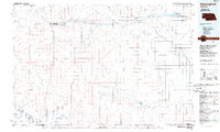
(11)- 1951 Map of Marsland
 1951 Marsland1951 Print · USGSThe High Plains of Box Butte County are captured here in the early fifties, centered on the railroad town of Marsland. Genealogists and local historians can trace a vanished rural school system through sites like School No 26 and locate family landmarks such as St Marys Ch.3 unique versions available
 - 1955 Map of Alliance, 1966 Print
 1955 Alliance1966 Print · USGSThe Nebraska panhandle comes into sharp focus during the mid-fifties, showing a landscape defined by the Niobrara River and the expanding Sand Hills. Researchers can trace the grounds of Fort Robinson, locate Saint Marys Church, or follow the Chicago Burlington and Quincy rail line through Hemingford.3 unique versions available
 - 1957 Map of Alliance
 1957 Alliance1957 Print · USGSNorthwest Nebraska in the mid-fifties is captured here as a landscape of rail hubs, sprawling cattle ranches, and the eastern edge of the dunes. Genealogists and historians can trace rail lines through Alliance and Chadron or locate landmarks like Saint Marys Church and the Agate Spring Fossil Beds.
 - 1958 Map of Alliance
 1958 Alliance1958 Print · USGSNorthwestern Nebraska in the late fifties shows a landscape shaped by the legacy of the high plains frontier and modern agricultural expansion. Genealogists and historians can trace rail-line settlements and landmarks like Fort Robinson and the Agate Spring Fossil Beds.
 - 1983 Map of Marsland, 1984 Print
 1983 Marsland1984 Print · USGSMarsland and the high plains of the Nebraska Panhandle are captured here in the early eighties. Genealogists and local historians can trace the Marsland Cem and the path of the Burlington Northern railroad along the Niobrara River.
 - 1985 Map of Hemingford, 1986 Print
 1985 Hemingford1986 Print · USGSThe Nebraska panhandle comes into sharp focus during the mid-1980s, revealing a landscape of remote ranching outposts and paleontological significance. Researchers can trace the Niobrara River to the Agate Fossil Beds National Monument or locate early settlements like Nonpareil and Marsland.2 unique versions available
 - 2011 Map of Marsland, 2011 Print
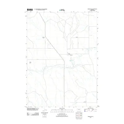 2011 Marsland2011 Print · USGSCovers Marsland, including Box Butte County, Dawes County, and other nearby areas
 - 2014 Map of Marsland, 2014 Print
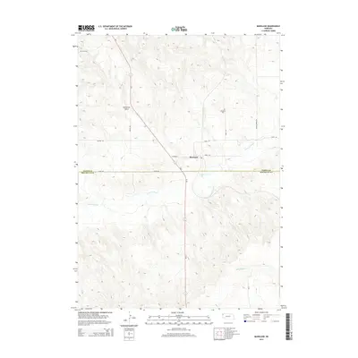 2014 Marsland2014 Print · USGSCovers Marsland, including Box Butte County, Dawes County, and other nearby areas
 - 2017 Map of Marsland, 2017 Print
 2017 Marsland2017 Print · USGSCovers Marsland, including Box Butte County, Dawes County, and other nearby areas
 - 2021 Map of Marsland, 2021 Print
 2021 Marsland2021 Print · USGSCovers Marsland, including Box Butte County, Dawes County, and other nearby areas
 - 2023 Map of Marsland, 2023 Print
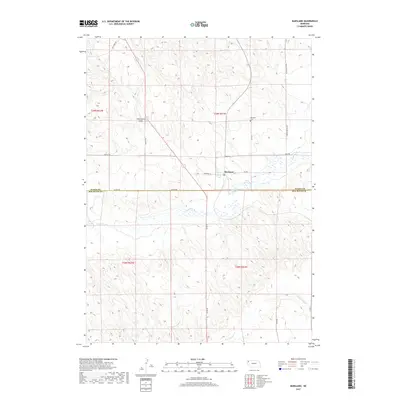
 2023 Marsland2023 Print · USGSThe High Plains of Dawes County meet the Box Butte border in this recent survey of the Nebraska ranchlands. Genealogists and local researchers can trace family landmarks along the Niobrara River, from the Marsland Cem to the waters of Gregg Lake.
End of results
Showing maps 1-11 of 11
Top cities near Marsland
Frequently asked questions
- What are the different types of historical maps available for Marsland?
- What is the oldest map of Marsland?
- Where can I purchase historical maps of Marsland for my home or office?
- Where can I download high-res historical maps of Marsland?
- Are there historical topographic maps available for Marsland?
- Is there historical aerial imagery available for Marsland?
- Where are historical maps of Marsland sourced from?