Old Maps of Deverre, Nebraska for Hiking & Exploration
Hike through history with 9 historic maps of Deverre. Explore old trails, ghost towns, and forgotten backroads — perfect for outdoor adventurers and local explorers.
- Rediscover forgotten places: Map out old mining camps, roads, and footpaths that no longer exist on modern maps.
- Layer with modern tools: Combine with LiDAR or satellite views to plan hikes through historical terrain.
- Made for exploration: Popular among hikers, overlanders, and local history lovers.
Use these maps to find adventure and explore the hidden past of Deverre.
Deverre, NE maps
(9)- 1952 Map of Burwell NE, 1954 Print
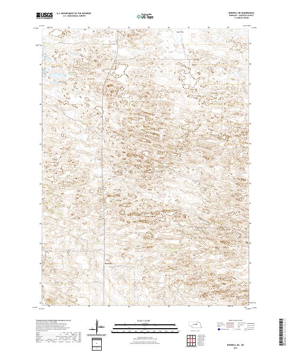
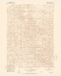 1952 Burwell NE1954 Print · USGSGarfield County was defined by its remote rural outposts and one-room schoolhouses in the years following the war. Researchers can trace the layout of early ranching life through local landmarks like Deverre, Kinkaid Sch, and Golden Standard Sch.3 unique versions available
 - 1955 Map of Broken Bow
 1955 Broken Bow1955 Print · USGSCentral Nebraska in the mid-fifties is defined by the sweeping Sand Hills and the vital river valleys that supported its ranching and rail towns. Researchers can trace the rail corridors of the Union Pacific RR and locate settlements like Dannebrog, Broken Bow, and Brewster.5 unique versions available
 - 1956 Map of Broken Bow
 1956 Broken Bow1956 Print · USGSCentral Nebraska during the mid-fifties reveals a region defined by its river-valley railroads and the rolling Sand Hills. Genealogists and local historians can trace the paths of the Chicago Burlington and Quincy through towns like Broken Bow, Merna, and Anselmo.
 - 1985 Map of Burwell
 1985 Burwell1985 Print · USGSCentral Nebraska in the mid-eighties reveals a landscape shaped by the Middle Loup River and the Burlington Northern rail line. Researchers can trace the layout of small towns like Sargent, Anselmo, and Burwell or locate New Helena and Victoria Springs State Recreation Area.
 - 1994 Map of Burwell
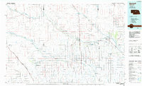
 1994 Burwell1994 Print · USGSThe Nebraska Sandhills region is captured here in the mid-nineties, showing a landscape shaped by the Loup River systems and vital irrigation networks. Researchers can trace the development of small towns like Burwell and Brewster or locate landmarks like the Milburn Diversion Dam.
 - 2011 Map of Burwell NE, 2011 Print
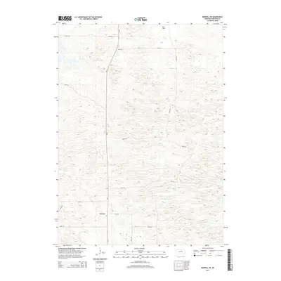
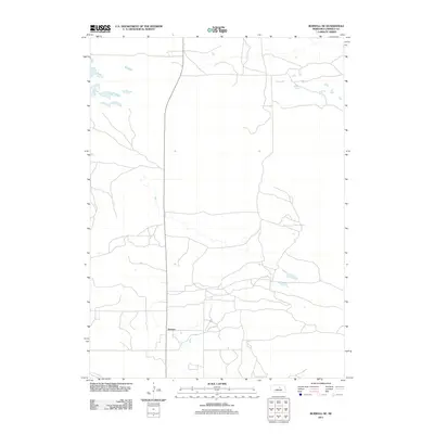 2011 Burwell NE2011 Print · USGSCovers Deverre, including Garfield County, United States, and other nearby areas
 - 2014 Map of Burwell NE, 2014 Print
 2014 Burwell NE2014 Print · USGSCovers Deverre, including Garfield County, United States, and other nearby areas
 - 2017 Map of Burwell NE, 2017 Print
 2017 Burwell NE2017 Print · USGSCovers Deverre, including Garfield County, United States, and other nearby areas
 - 2021 Map of Burwell NE, 2021 Print
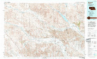
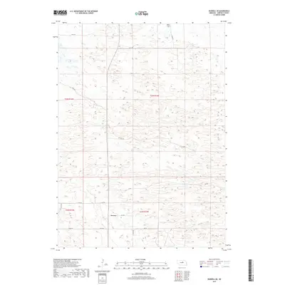
 2021 Burwell NE2021 Print · USGSGarfield County in the early twenty-first century remains a landscape of sprawling ranch land and section-line roads. Genealogists and local historians can trace rural connections near Deverre or follow the terrain changes at Beat Flats and along 840th Rd.
End of results
Showing maps 1-9 of 9
Top cities near Deverre
Frequently asked questions
- What are the different types of historical maps available for Deverre?
- What is the oldest map of Deverre?
- Where can I purchase historical maps of Deverre for my home or office?
- Where can I download high-res historical maps of Deverre?
- Are there historical topographic maps available for Deverre?
- Is there historical aerial imagery available for Deverre?
- Where are historical maps of Deverre sourced from?