Old Maps of Duluth, Nebraska for Metal Detecting
Plan your next treasure hunt with 10 historic maps of Duluth. Find old homesites, ghost towns, trails, and gathering spots that may be lost to time — perfect for identifying promising metal detecting locations.
- Locate forgotten sites: Uncover places like long-lost settlements, abandoned rail lines, or gathering spots.
- Plan better hunts: Use map overlays combined with LiDAR or satellite views to narrow in on historically rich areas.
- Made for detectorists: Thousands of hobbyists use these maps to discover relics, coins, and hidden history.
Use these historic maps to boost your research and find new opportunities beneath the surface of Duluth.
Duluth, NE maps
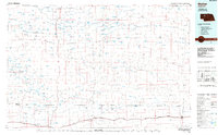
(10)- 1948 Map of Whitman, 1978 Print
 1948 Whitman1978 Print · USGSCherry County ranching and rail life are at the forefront of this mid-century survey of the Nebraska Sandhills. Researchers can trace family ranch boundaries like Monahan and Rothwell, or locate rural landmarks like the Red Mill School.
 - 1950 Map of Whitman
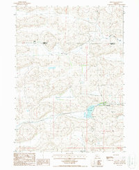
 1950 Whitman1950 Print · USGSMid-century Cherry County ranching culture is preserved here just as the post-war era was reshaping the Nebraska Sandhills. Genealogists and historians can trace the vast Rothwell Ranch, find the rural Red Mill School, and follow the Chicago Burlington and Quincy rail line.
 - 1957 Map of Valentine, 1960 Print
 1957 Valentine1960 Print · USGSNorthern Nebraska's ranching country and the vast Sand Hills are detailed here in the late fifties. Genealogists and historians can locate numerous family-named landmarks like the Dahlgren Ranch and trace the path of the Chicago and North Western railroad through Valentine.3 unique versions available
 - 1959 Map of Valentine
 1959 Valentine1959 Print · USGSThe northern Nebraska Sand Hills are captured here in the late fifties, showcasing a vast ranching landscape shaped by the Niobrara and Loup rivers. Genealogists and historians can trace rail-town development along the Chicago and North Western and locate remote outposts like Brownlee or Kennedy.
 - 1985 Map of Mullen
 1985 Mullen1985 Print · USGSSettlement in the Nebraska Sandhills followed the rail and river corridors during the mid-twentieth century. Trace the Burlington Northern line through Mullen and Hyannis, or locate family-named landmarks like James Valley and Betsy Creek.2 unique versions available
 - 1987 Map of Whitman, 1988 Print
 1987 Whitman1988 Print · USGSThe ranching country of the Nebraska Sandhills is captured here during the late eighties, centered on the rail-side community of Whitman. Researchers can locate the Monahan Ranch, trace the Burlington Northern line, or find the local Cem.
 - 2011 Map of Whitman, 2011 Print
 2011 Whitman2011 Print · USGSCovers Duluth, including Whitman, Cherry County, and other nearby areas
 - 2014 Map of Whitman, 2014 Print
 2014 Whitman2014 Print · USGSCovers Duluth, including Whitman, Cherry County, and other nearby areas
 - 2017 Map of Whitman, 2017 Print
 2017 Whitman2017 Print · USGSCovers Duluth, including Whitman, Cherry County, and other nearby areas
 - 2021 Map of Whitman, 2021 Print
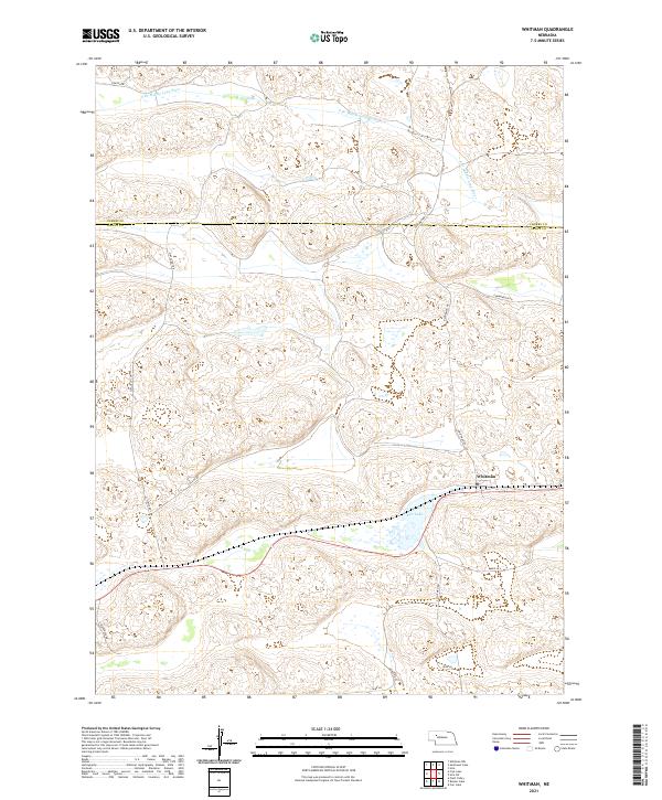 2021 Whitman2021 Print · USGSGrant County ranching country is documented here in the early 2020s, centered on the unincorporated community of Whitman. Genealogists and local historians can trace family land via rural routes like Gudmundsen Rd and landmarks such as Doc Lake.
End of results
Showing maps 1-10 of 10
Top cities near Duluth
Frequently asked questions
- What are the different types of historical maps available for Duluth?
- What is the oldest map of Duluth?
- Where can I purchase historical maps of Duluth for my home or office?
- Where can I download high-res historical maps of Duluth?
- Are there historical topographic maps available for Duluth?
- Is there historical aerial imagery available for Duluth?
- Where are historical maps of Duluth sourced from?