Old Maps of Midland, Nebraska for Hiking & Exploration
Hike through history with 9 historic maps of Midland. Explore old trails, ghost towns, and forgotten backroads — perfect for outdoor adventurers and local explorers.
- Rediscover forgotten places: Map out old mining camps, roads, and footpaths that no longer exist on modern maps.
- Layer with modern tools: Combine with LiDAR or satellite views to plan hikes through historical terrain.
- Made for exploration: Popular among hikers, overlanders, and local history lovers.
Use these maps to find adventure and explore the hidden past of Midland.
Midland, NE maps
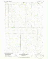
(9)- 1955 Map of Sioux City, 1959 Print
 1955 Sioux City1959 Print · USGSThe Missouri River valley in the mid-fifties is captured here during a time of major engineering and social transition. Genealogists and historians can trace the foundations of Gavins Point Dam, tribal boundaries on the Santee Sioux Indian Reservation, and local landmarks like the Norfolk State Hospital.4 unique versions available
 - 1958 Map of Sioux City
 1958 Sioux City1958 Print · USGSThe Missouri River valley in the late fifties was a bustling intersection of tribal lands, rail corridors, and river towns. Genealogists can trace family roots through specific rural sites like Daisy Valley School, St Johns Church and School, and Yankton State Hospital.
 - 1959 Map of Sioux City
 1959 Sioux City1959 Print · USGSThe tri-state region surrounding the Missouri River is captured here in the late fifties, showing the convergence of Nebraska, South Dakota, and Iowa. Researchers can trace rural lineages through numerous country schoolhouses like Cemetery School and the many numbered Washington School districts.
 - 1974 Map of Midland, 1978 Print
 1974 Midland1978 Print · USGSMidland and Breslau sit at the intersection of Knox and Pierce counties during the mid-1970s. Genealogists can trace family roots at Eden Valley Cem and Golgotha Ch or follow the waters of the West Branch North Fork Elkhorn River.
 - 1985 Map of Norfolk, 1986 Print
 1985 Norfolk1986 Print · USGSNortheast Nebraska in the mid-eighties shows a landscape shaped by the Elkhorn River and established rail corridors. Trace the growth of towns like Norfolk and Wayne, locating institutional landmarks such as Wayne State College and Norfolk Regional Center.2 unique versions available
 - 2011 Map of Midland, 2011 Print
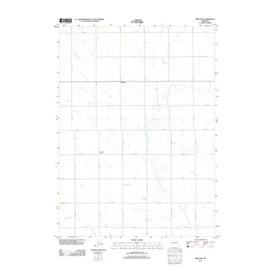 2011 Midland2011 Print · USGSCovers Midland, including Pierce County, Knox County, and other nearby areas
 - 2014 Map of Midland, 2014 Print
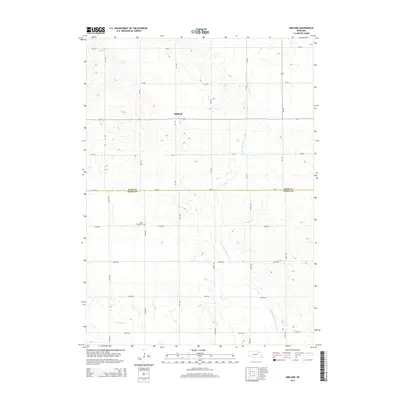 2014 Midland2014 Print · USGSCovers Midland, including Pierce County, Knox County, and other nearby areas
 - 2017 Map of Midland, 2017 Print
 2017 Midland2017 Print · USGSCovers Midland, including Pierce County, Knox County, and other nearby areas
 - 2021 Map of Midland, 2021 Print
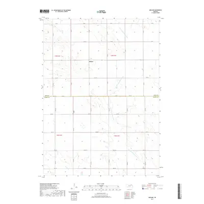
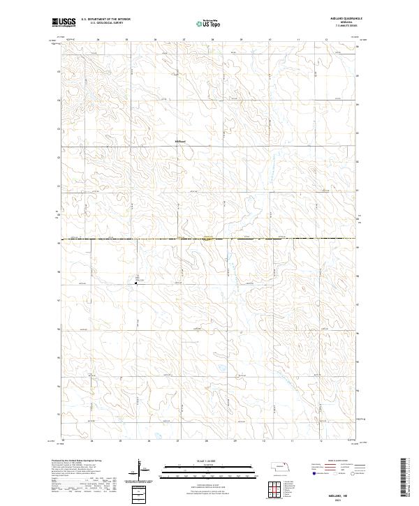 2021 Midland2021 Print · USGSNortheast Nebraska farmland is documented in the 2020s on this map of the Knox and Pierce county border. Researchers can locate the Eden Valley Cem and follow the drainage of the W Br N Fork Elkhorn River past the settlement of Midland.
End of results
Showing maps 1-9 of 9
Top cities near Midland
- Plainview historical maps
- Creighton historical maps
- Bloomfield historical maps
- Osmond historical maps
- Wausa historical maps
- Center historical maps
See more
Frequently asked questions
- What are the different types of historical maps available for Midland?
- What is the oldest map of Midland?
- Where can I purchase historical maps of Midland for my home or office?
- Where can I download high-res historical maps of Midland?
- Are there historical topographic maps available for Midland?
- Is there historical aerial imagery available for Midland?
- Where are historical maps of Midland sourced from?