Old Maps of Mustang Ridge, Lancaster County for Metal Detecting
Plan your next treasure hunt with 10 historic maps of Mustang Ridge. Find old homesites, ghost towns, trails, and gathering spots that may be lost to time — perfect for identifying promising metal detecting locations.
- Locate forgotten sites: Uncover places like long-lost settlements, abandoned rail lines, or gathering spots.
- Plan better hunts: Use map overlays combined with LiDAR or satellite views to narrow in on historically rich areas.
- Made for detectorists: Thousands of hobbyists use these maps to discover relics, coins, and hidden history.
Use these historic maps to boost your research and find new opportunities beneath the surface of Mustang Ridge.
Mustang Ridge, Lancaster County maps
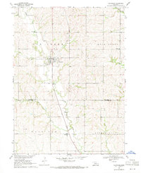
(10)- 1899 Map of Wahoo
 1899 Wahoo1899 Print · USGSSaunders County and its neighbors thrive as a booming rail hub in the 1890s, where the Platte River meets a dense web of iron tracks. Trace the early development of prairie towns like Wahoo, Valparaiso, and the Bohemian settlement at Prague.3 unique versions available
 - 1955 Map of Fremont, 1966 Print
 1955 Fremont1966 Print · USGSEastern Nebraska and the Missouri River border are captured during the mid-fifties, just as the interstate system began to emerge. Researchers can trace the development of Omaha, locate the sprawling Offutt Air Force Base, or study the river-bound ecology of the De Soto National Wildlife Refuge.3 unique versions available
 - 1957 Map of Fremont
 1957 Fremont1957 Print · USGSEastern Nebraska and western Iowa thrive along the Platte and Missouri rivers during the mid-fifties. Genealogists can locate small rural schools like Fairview School and tracing the paths of the Union Pacific through towns like Albion and Humphrey.
 - 1958 Map of Fremont
 1958 Fremont1958 Print · USGSEastern Nebraska in the late fifties is captured here as a thriving corridor of river-valley commerce and rail transport. Researchers can trace the development of Omaha and Fremont or locate local landmarks like Midland College and Offutt Air Force Base.
 - 1969 Map of Valparaiso, 1971 Print
 1969 Valparaiso1971 Print · USGSThe rural landscape of Saunders and Lancaster Counties comes into focus in the late 1960s. Genealogists and local historians can trace early community life through family landmarks like St Marys Cem, Indian Camp Sch, and Novotnys Sky Ranch.2 unique versions available
 - 1982 Map of Fremont
 1982 Fremont1982 Print · USGSEastern Nebraska in the early eighties exhibits a landscape of industrious rail towns and river-fed agriculture. Genealogists and historians can trace the development of Fremont, locate the National Cem, and find landmarks like the Todd Valley.2 unique versions available
 - 2011 Map of Valparaiso, 2011 Print
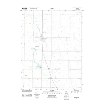 2011 Valparaiso2011 Print · USGSCovers Mustang Ridge, including Valparaiso, Agnew, and other nearby areas
 - 2014 Map of Valparaiso, 2014 Print
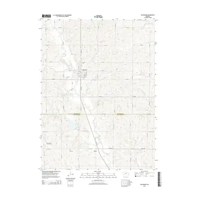 2014 Valparaiso2014 Print · USGSCovers Mustang Ridge, including Valparaiso, Agnew, and other nearby areas
 - 2017 Map of Valparaiso, 2017 Print
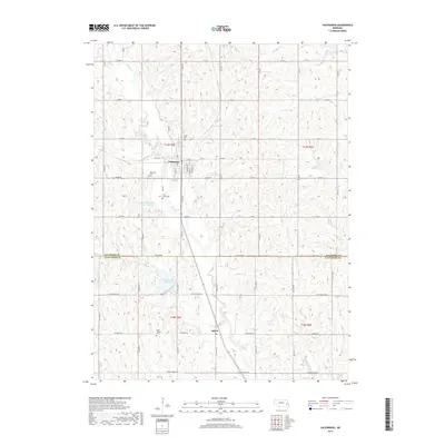 2017 Valparaiso2017 Print · USGSCovers Mustang Ridge, including Valparaiso, Agnew, and other nearby areas
 - 2021 Map of Valparaiso, 2021 Print
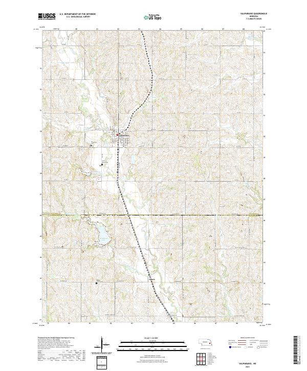 2021 Valparaiso2021 Print · USGSThe Saunders and Lancaster county border comes alive in the early 2020s, showing a landscape shaped by creek drainages and rural settlements. Researchers can trace local heritage at Valparaiso and Agnew, or locate family sites at Saint Marys Cem.
End of results
Showing maps 1-10 of 10
Frequently asked questions
- What are the different types of historical maps available for Mustang Ridge?
- What is the oldest map of Mustang Ridge?
- Where can I purchase historical maps of Mustang Ridge for my home or office?
- Where can I download high-res historical maps of Mustang Ridge?
- Are there historical topographic maps available for Mustang Ridge?
- Is there historical aerial imagery available for Mustang Ridge?
- Where are historical maps of Mustang Ridge sourced from?