Old Maps of Coker, Nebraska
Explore 12 old maps of Coker, spanning from 1898 to today. These high-resolution historic maps reveal how streets, neighborhoods, landmarks, and natural features evolved over time — perfect for genealogy, metal detecting, research, and local history exploration.
What you can do with these maps:
- See how Coker changed over time: Compare historical maps to modern-day views to trace roads, homesites, rail lines & more.
- View detailed metadata: Each map includes creators, publishers, year, scale, and archive source.
- Overlay maps with satellite & LiDAR: Visualize the past alongside modern tools to explore terrain & human change.
- Trusted historical sources: Maps sourced from the USGS, Library of Congress, and other archives.
- Access maps your way: View online, download high-res files, or order prints for personal or research use.
Start exploring old maps of Coker to uncover forgotten places, hidden landmarks, and the deep history beneath your feet.
Coker, NE maps
(12)- 1898 Map of Paxton, 1960 Print
 1898 Paxton1960 Print · USGSWestern Nebraska at the end of the nineteenth century reveals a landscape defined by the convergence of the Platte rivers and the arrival of the railroad. Researchers can trace early ranching sites like Duck Brand Ranch and the vital canal network including the Paxton and Hershey Canal.
 - 1901 Map of Paxton
 1901 Paxton1901 Print · USGSThe confluence of the Platte Rivers in western Nebraska appears here at a pivotal moment for irrigation and rail expansion. Researchers can trace early water rights through the Sutherland Canal and locate historic livestock operations like Duck Brand Ranch and Knights Ranch.4 unique versions available
 - 1954 Map of North Platte, 1968 Print
 1954 North Platte1968 Print · USGSThe Nebraska Sand Hills and the Platte River valley are captured here during a period of mid-century growth and agricultural expansion. Trace the vast irrigation network of the Sutherland Canal, locate old rural schoolhouses like Rose Hill School, and find family holdings such as Conrey Ranch.3 unique versions available
 - 1956 Map of North Platte
 1956 North Platte1956 Print · USGSThe Nebraska Sand Hills meet the high plains river valleys in the mid-1950s, a period of intensive water management and rail commerce. Genealogists and historians can trace early prairie settlements like Stapleton and Tryon, or follow the industrial corridor of the Union Pacific through North Platte.
 - 1957 Map of North Platte
 1957 North Platte1957 Print · USGSThe Nebraska Sand Hills and the Platte River valley are captured here in the mid-fifties as the ranching and irrigation economy matured. Genealogists and historians can locate family-named schoolhouses like Maire School or trace the railroad hubs at North Platte and the Fort McPherson National Cemetery.
 - 1967 Map of North Platte
 1967 North Platte1967 Print · USGSThe Nebraska Sand Hills and the Platte River valley meet in the 1960s, showing a landscape shaped by water management and rail. Genealogists can trace rural school districts like the Prairie Dell School or find landmarks like the Scott Lookout Tower and Geo P Kingsley Dam.
 - 1971 Map of Hershey West, 1974 Print
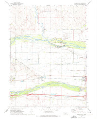 1971 Hershey West1974 Print · USGSThe high plains of western Nebraska meet the bifurcated Platte River system in the early seventies. Genealogists and historians can trace the rail-and-water economy through the Union Pacific line and irrigation landmarks like the Riverside Cem and O'Fallons.
 - 1985 Map of Ogallala
 1985 Ogallala1985 Print · USGSThe Platte River valleys in the mid-eighties show a landscape defined by massive water projects and the Union Pacific corridor. Trace the development of Lake Mc Conaughy and irrigation networks near Ogallala, Paxton, and Sutherland.2 unique versions available
 - 2011 Map of Hershey West, 2011 Print
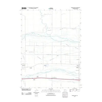 2011 Hershey West2011 Print · USGSLincoln County in the early twenty-first century reveals a landscape shaped by the branching of the Platte Rivers. Genealogists and local historians can trace the irrigation networks and settlements like Sutherland, Hershey, and the historic Riverside Cemetery.
 - 2014 Map of Hershey West, 2014 Print
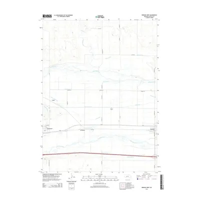 2014 Hershey West2014 Print · USGSLincoln County in the mid-2010s shows a complex valley of rivers and irrigation canals between Sutherland and Hershey. Genealogists and local historians can trace the rural infrastructure around Riverside Cem and the rail-side heritage of O'Fallons.
 - 2017 Map of Hershey West, 2017 Print
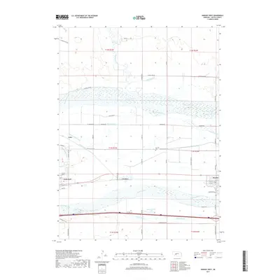 2017 Hershey West2017 Print · USGSLincoln County irrigation and transport networks define this area in the 2010s. Researchers can trace the Paxton Hershey Canal and find local landmarks like Riverside Cem and East Sutherland Lake.
 - 2021 Map of Hershey West, 2021 Print
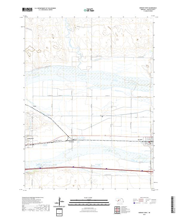 2021 Hershey West2021 Print · USGSLincoln County's Platte River valley is captured here in recent years, showing the complex web of irrigation and transport between the twin rivers. Genealogists and historians can trace the irrigation canals and river crossings near Sutherland, Hershey, and Riverside Cem.
End of results
Showing maps 1-12 of 12
Top cities near Coker
Frequently asked questions
- What are the different types of historical maps available for Coker?
- What is the oldest map of Coker?
- Where can I purchase historical maps of Coker for my home or office?
- Where can I download high-res historical maps of Coker?
- Are there historical topographic maps available for Coker?
- Is there historical aerial imagery available for Coker?
- Where are historical maps of Coker sourced from?