2020s Maps of Bayard, Nebraska
Explore 2 historic maps of Bayard from the 2020s. These maps offer a rare glimpse into what life looked like during the 2020s — showing old roads, neighborhoods, homes, and landmarks that have changed or disappeared over time.
Whether you're researching your family's past, planning a metal detecting trip, or studying how Bayard's landscape evolved across the 2020s, these high-resolution maps are a powerful tool for exploring the history of this region.
- Focus on a specific era: All maps on this page are from the 2020s, giving you a focused view of this time period.
- See what’s changed: Compare century-old streets, trails, and buildings to today's modern landscape using overlays and satellite layers.
- Research with precision: Use these maps for genealogy, historical research, land use analysis, or educational projects.
- View, download, or print: Maps are fully viewable online in high resolution, and can be downloaded or printed for your own records.
Start exploring Bayard's history through authentic maps from the 2020s. This is your window into the past.
Bayard, NE maps
(2)- 2021 Map of Bayard, 2021 Print
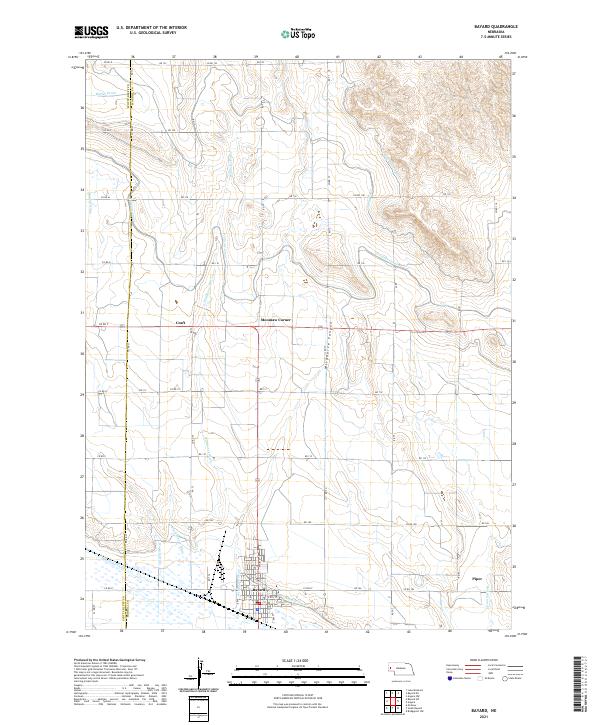 2021 Bayard2021 Print · USGSThe Nebraska panhandle comes into sharp focus in this recent survey of the North Platte Valley irrigation network. Genealogists and local historians can trace the streets of Bayard and locate outlying points like Moomaw Corner, Craft, and the rugged Wildhorse Canyon.
 - 2021 Map of South Bayard, 2021 Print
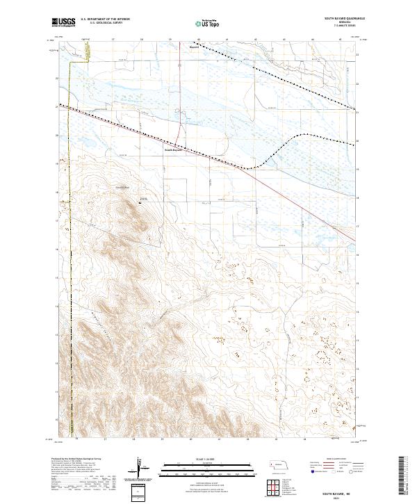 2021 South Bayard2021 Print · USGSThe North Platte River valley comes into sharp focus in the early 2020s, dominated by the famous spire of Chimney Rock. Trace the local irrigation history through the Alliance Canal or locate family roots near South Bayard and Chimney Rock Cem.
End of results
Showing maps 1-2 of 2
Top cities near Bayard
Frequently asked questions
- What are the different types of historical maps available for Bayard?
- What is the oldest map of Bayard?
- Where can I purchase historical maps of Bayard for my home or office?
- Where can I download high-res historical maps of Bayard?
- Are there historical topographic maps available for Bayard?
- Is there historical aerial imagery available for Bayard?
- Where are historical maps of Bayard sourced from?