Old Maps of Genoa, Nebraska for Hiking & Exploration
Hike through history with 10 historic maps of Genoa. Explore old trails, ghost towns, and forgotten backroads — perfect for outdoor adventurers and local explorers.
- Rediscover forgotten places: Map out old mining camps, roads, and footpaths that no longer exist on modern maps.
- Layer with modern tools: Combine with LiDAR or satellite views to plan hikes through historical terrain.
- Made for exploration: Popular among hikers, overlanders, and local history lovers.
Use these maps to find adventure and explore the hidden past of Genoa.
Genoa, NE maps
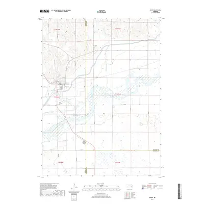
(10)- 1896 Map of Stromsburg
 1896 Stromsburg1896 Print · USGSEast-central Nebraska comes into focus during the late nineteenth-century rail boom, following the vital corridors of the Platte and Loup Rivers. Researchers can trace early township developments and the paths of the Union Pacific R. R. through Stromsburg, Fullerton, and Central City.5 unique versions available
 - 1955 Map of Fremont, 1966 Print
 1955 Fremont1966 Print · USGSEastern Nebraska and the Missouri River border are captured during the mid-fifties, just as the interstate system began to emerge. Researchers can trace the development of Omaha, locate the sprawling Offutt Air Force Base, or study the river-bound ecology of the De Soto National Wildlife Refuge.3 unique versions available
 - 1957 Map of Fremont
 1957 Fremont1957 Print · USGSEastern Nebraska and western Iowa thrive along the Platte and Missouri rivers during the mid-fifties. Genealogists can locate small rural schools like Fairview School and tracing the paths of the Union Pacific through towns like Albion and Humphrey.
 - 1958 Map of Fremont
 1958 Fremont1958 Print · USGSEastern Nebraska in the late fifties is captured here as a thriving corridor of river-valley commerce and rail transport. Researchers can trace the development of Omaha and Fremont or locate local landmarks like Midland College and Offutt Air Force Base.
 - 1958 Map of Genoa, 1959 Print
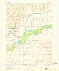 1958 Genoa1959 Print · USGSThe Loup River valley in the late fifties was a landscape of precision-engineered levees and rural school districts. Genealogists and local historians can trace family-named landmarks and institutions like the Friends Cem, Sunny Hollow Sch, and the Union Pacific line through Genoa.
 - 1985 Map of David City
 1985 David City1985 Print · USGSCentral Nebraska in the mid-eighties centers on the convergence of the Platte River and Loup River. Trace the rail-and-river economy through towns like Columbus, David City, and Stromsburg, or locate family sites near Swedehome and Surprise.2 unique versions available
 - 2011 Map of Genoa, 2011 Print
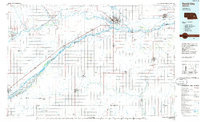
 2011 Genoa2011 Print · USGSCovers Genoa, including Platte County, Merrick County, and other nearby areas
 - 2014 Map of Genoa, 2014 Print
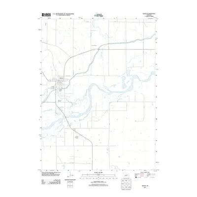
 2014 Genoa2014 Print · USGSCovers Genoa, including Platte County, Merrick County, and other nearby areas
 - 2017 Map of Genoa, 2017 Print
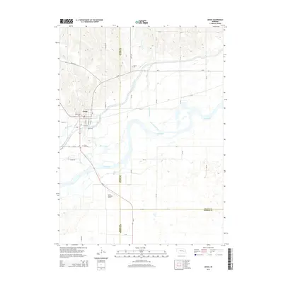
 2017 Genoa2017 Print · USGSCovers Genoa, including Platte County, Merrick County, and other nearby areas
 - 2021 Map of Genoa, 2021 Print
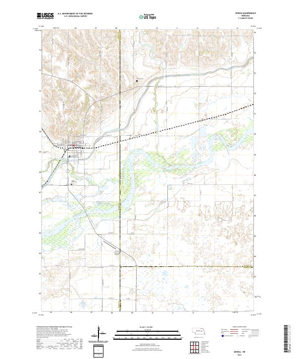 2021 Genoa2021 Print · USGSGenoa and the surrounding Platte Valley are captured here in the early 2020s, showing the intricate relationship between the town and its waterways. Genealogists and researchers can locate Valley View Cem, trace the Loup River Canal, and explore the rural reaches of Looking Glass Cr.
End of results
Showing maps 1-10 of 10
Top cities near Genoa
Frequently asked questions
- What are the different types of historical maps available for Genoa?
- What is the oldest map of Genoa?
- Where can I purchase historical maps of Genoa for my home or office?
- Where can I download high-res historical maps of Genoa?
- Are there historical topographic maps available for Genoa?
- Is there historical aerial imagery available for Genoa?
- Where are historical maps of Genoa sourced from?