2020s Maps of Thayer County, Nebraska
Explore 15 historic maps of Thayer County from the 2020s. These maps offer a rare glimpse into what life looked like during the 2020s — showing old roads, neighborhoods, homes, and landmarks that have changed or disappeared over time.
Whether you're researching your family's past, planning a metal detecting trip, or studying how Thayer County's landscape evolved across the 2020s, these high-resolution maps are a powerful tool for exploring the history of this region.
- Focus on a specific era: All maps on this page are from the 2020s, giving you a focused view of this time period.
- See what’s changed: Compare century-old streets, trails, and buildings to today's modern landscape using overlays and satellite layers.
- Research with precision: Use these maps for genealogy, historical research, land use analysis, or educational projects.
- View, download, or print: Maps are fully viewable online in high resolution, and can be downloaded or printed for your own records.
Start exploring Thayer County's history through authentic maps from the 2020s. This is your window into the past.
Thayer County, NE maps
(15)- 2021 Map of Alexandria, 2021 Print
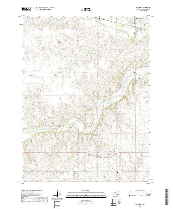 2021 Alexandria2021 Print · USGSThayer County's rural character is preserved in this recent survey of the Nebraska plains. Genealogists can locate family sites near Alexandria Cem and Union Cem, or trace the path of the Little Blue River past Gilead.
 - 2021 Map of Davenport, 2021 Print
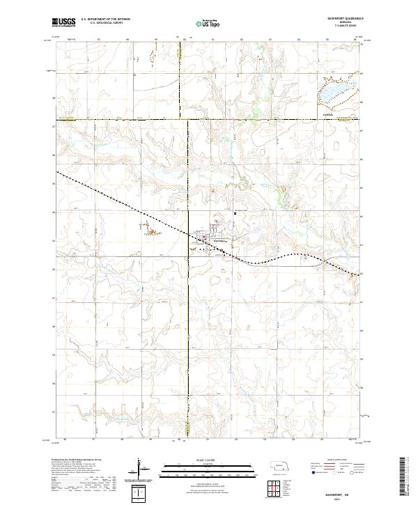 2021 Davenport2021 Print · USGSDavenport and the surrounding Thayer County plains are captured here in the early twenty-first century as a landscape of grid-roads and creek-fed reservoirs. Genealogists can trace property locations along RD 5000 or locate burials at Davenport Cem and the settlement of Carlisle.
 - 2021 Map of Reynolds, 2021 Print
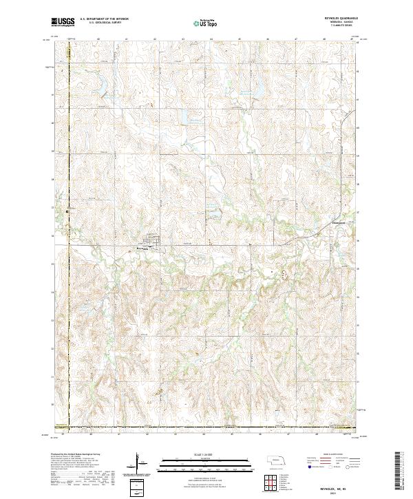 2021 Reynolds2021 Print · USGSModern-day Jefferson County and the Nebraska-Kansas border are shown here just south of Reynolds. Genealogists can trace family plots at Rose Creek Cem or explore the street grid of Reynolds and the small settlement at Thompson.
 - 2021 Map of Byron, 2021 Print
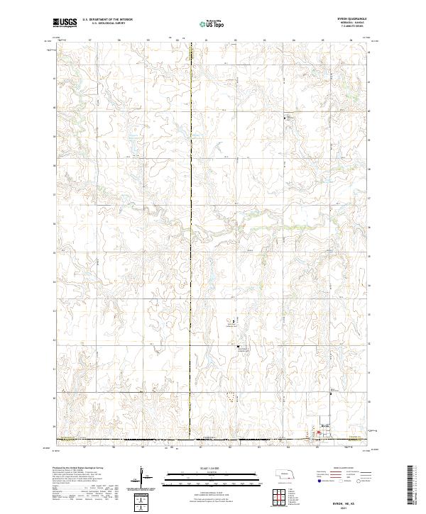 2021 Byron2021 Print · USGSByron and the surrounding Nebraska-Kansas borderlands are shown here in the early twenty-first century as the agricultural heart of Thayer County. Researchers can trace local genealogy through several rural cemeteries including Saint Pauls Cem and Zion Lutheran Cem, or locate family landmarks like Fintel Reservoir.
 - 2021 Map of Tobias SW, 2021 Print
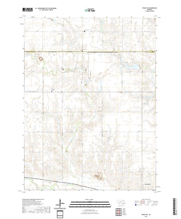 2021 Tobias SW2021 Print · USGSThayer County farm country is documented here in the early twenty-first century, centered on the drainage of the Sandy Creeks. Researchers can find long-established rural landmarks like Franklin Cem, Pleasant Plain Cem, and the village of Alexandria.
 - 2021 Map of Daykin, 2021 Print
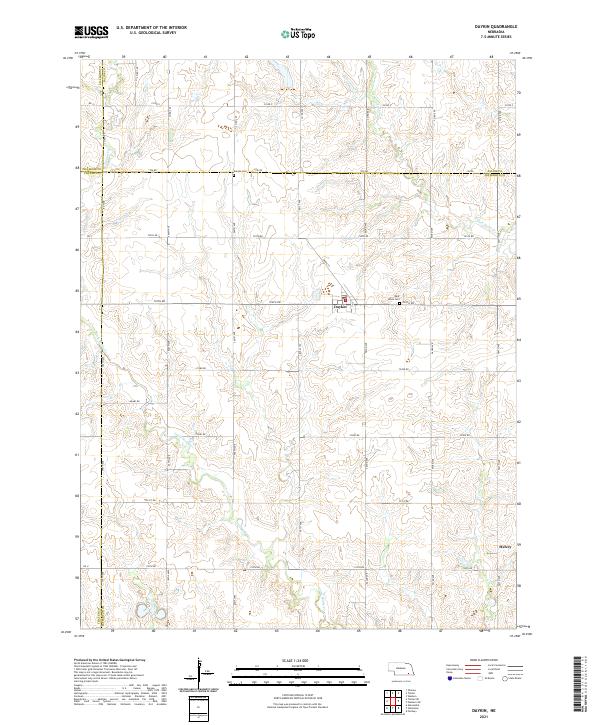 2021 Daykin2021 Print · USGSJefferson County agricultural life is captured here in the early twenty-first century, centered on the village of Daykin. Genealogists and local historians can trace family land and rural sites like Saint Johns Cem and the settlement of Helvey.
 - 2021 Map of Deshler, 2021 Print
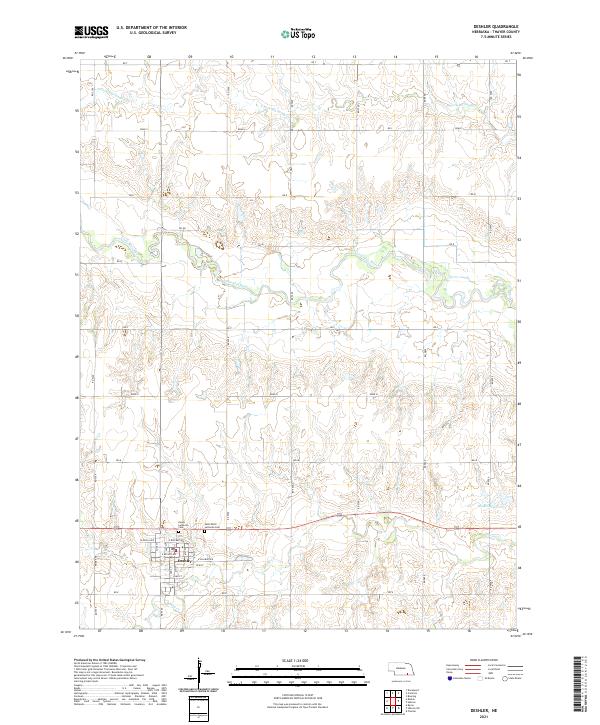 2021 Deshler2021 Print · USGSThe town of Deshler and its surrounding Thayer County farmland are documented here in the early twenty-first century. Researchers can trace local lineage at Peace Lutheran Cem and Saint Peter Lutheran Cem or follow the waters of the Little Blue River.
 - 2021 Map of Bruning, 2021 Print
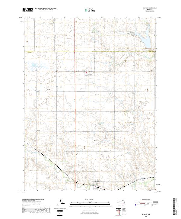 2021 Bruning2021 Print · USGSThayer and Fillmore Counties are captured here in their contemporary agricultural configuration. Genealogists can locate Keim Cemetery while researchers trace the water routes of Big Sandy Creek and the streets of Belvidere.
 - 2021 Map of Carleton, 2021 Print
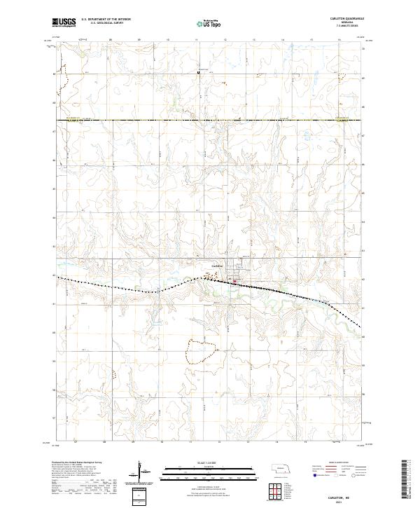 2021 Carleton2021 Print · USGSIn the early 2020s, this portion of Thayer and Fillmore counties remains a classic Nebraska farming landscape centered on the village of Carleton. Genealogists and local historians can trace property boundaries near Summit Cem and the winding course of Big Sandy Cr.
 - 2021 Map of Gladstone, 2021 Print
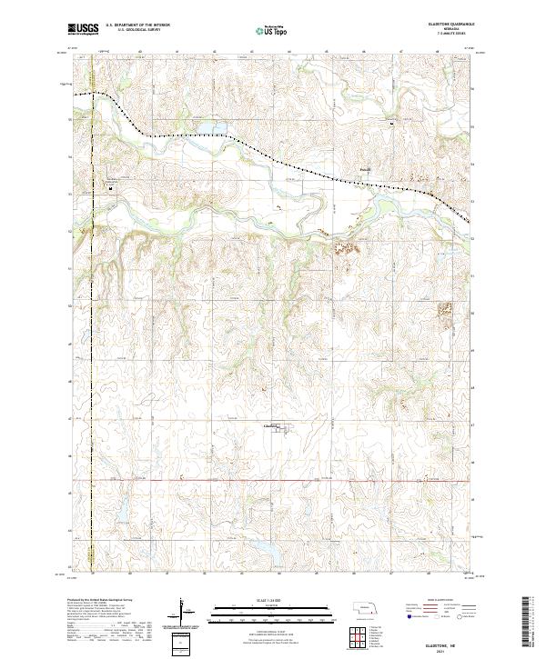 2021 Gladstone2021 Print · USGSJefferson County agricultural lands and river valleys are captured here in the early 2020s. Genealogists and local historians can locate the Meridian Presbyterian Cem, the settlement of Gladstone, and the rural community of Powell near the Little Blue River.
 - 2021 Map of Chester, 2021 Print
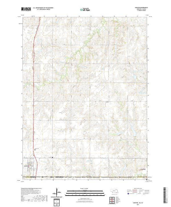 2021 Chester2021 Print · USGSThe borderlands between Nebraska and Kansas come into focus in 2021, showing the enduring grid of Thayer County. Genealogists can trace local roots at Chester Cem and Hubbell Cem or locate the rural Sutton Airport.
 - 2021 Map of Hebron, 2021 Print
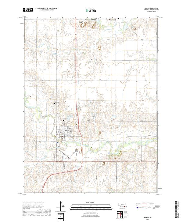 2021 Hebron2021 Print · USGSHebron and the surrounding Thayer County plains are shown here in the early 2020s, centered on the Little Blue River valley. Genealogists can trace family plots at Rose Hill Cem or Sacred Heart Cem, while local historians can locate the Thayer County Courthouse.
 - 2021 Map of Ruskin, 2021 Print
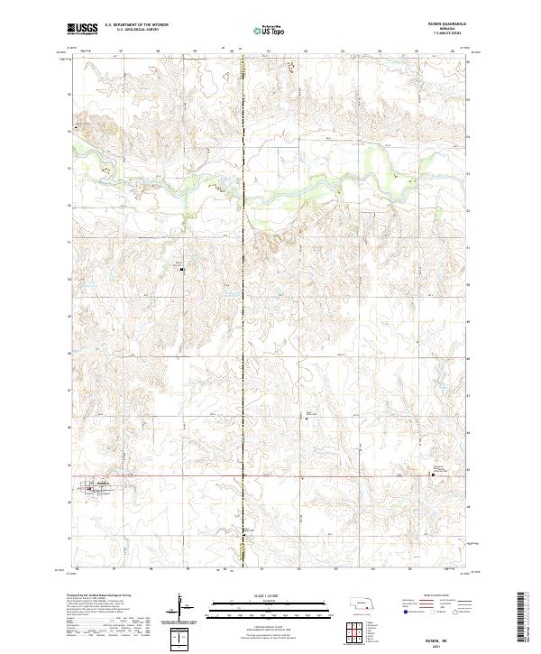 2021 Ruskin2021 Print · USGSThe village of Ruskin and its surrounding grain-growing plains are captured in 2021, showing the modern layout of this Nuckolls County community. Genealogists can locate several historic burial grounds, including Mount Zion Cem and Saint Marks Cem, alongside the waters of Thawes Cr.
 - 2021 Map of Hubbell, 2021 Print
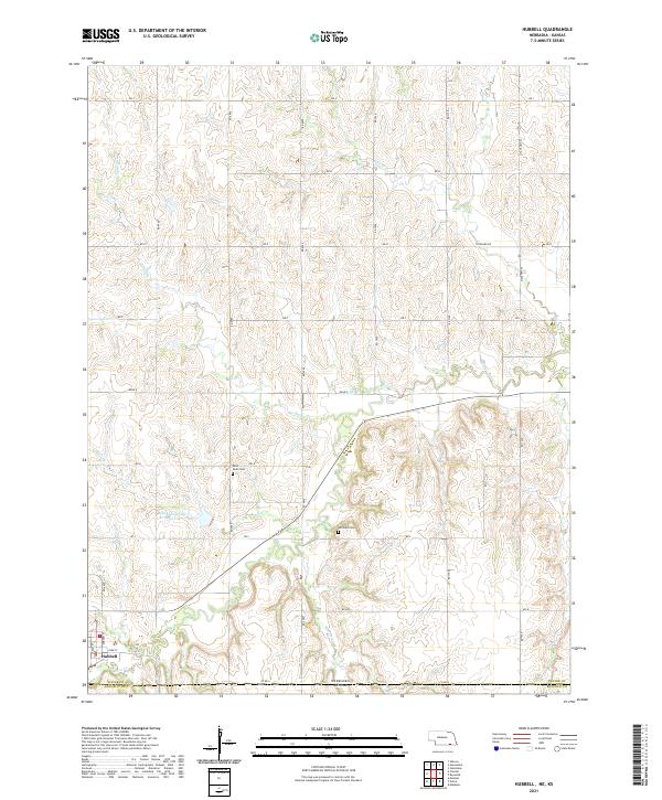 2021 Hubbell2021 Print · USGSThe Nebraska-Kansas border comes to life in this contemporary study of the Hubbell area. Genealogists and local historians can trace family roots at Saint Pauls Cem or Williams Cem while following the path of Rose Cr.
 - 2021 Map of Hebron SW, 2021 Print
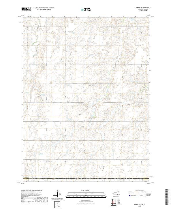 2021 Hebron SW2021 Print · USGSThe Nebraska-Kansas border region comes into focus in this modern survey of the plains. Researchers can trace rural water management and land divisions through family-named landmarks like Dittmer Reservoir, Harms Reservoir, and the route of State Line Rd.
End of results
Showing maps 1-15 of 15
Top cities of Thayer County
- Hebron historical maps
- Deshler historical maps
- Davenport historical maps
- Bruning historical maps
- Chester historical maps
- Alexandria historical maps
See more
Frequently asked questions
- What are the different types of historical maps available for Thayer County?
- What is the oldest map of Thayer County?
- Where can I purchase historical maps of Thayer County for my home or office?
- Where can I download high-res historical maps of Thayer County?
- Are there historical topographic maps available for Thayer County?
- Is there historical aerial imagery available for Thayer County?
- Where are historical maps of Thayer County sourced from?