Old Maps of Seneca, Nebraska
Explore 10 old maps of Seneca, spanning from 1948 to today. These high-resolution historic maps reveal how streets, neighborhoods, landmarks, and natural features evolved over time — perfect for genealogy, metal detecting, research, and local history exploration.
What you can do with these maps:
- See how Seneca changed over time: Compare historical maps to modern-day views to trace roads, homesites, rail lines & more.
- View detailed metadata: Each map includes creators, publishers, year, scale, and archive source.
- Overlay maps with satellite & LiDAR: Visualize the past alongside modern tools to explore terrain & human change.
- Trusted historical sources: Maps sourced from the USGS, Library of Congress, and other archives.
- Access maps your way: View online, download high-res files, or order prints for personal or research use.
Start exploring old maps of Seneca to uncover forgotten places, hidden landmarks, and the deep history beneath your feet.
Seneca, NE maps
(10)- 1948 Map of Seneca, 1956 Print
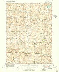 1948 Seneca1956 Print · USGSThe Middle Loup River valley in the late 1940s served as a lifeline for ranching and rail. Genealogists can trace family-named landmarks like Phillips Ranch and Simonson and Lowe Ranch or locate the old Virginia Sch.3 unique versions available
 - 1951 Map of Seneca
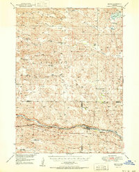 1951 Seneca1951 Print · USGSSeneca and the surrounding Nebraska Sandhills are caught mid-century along the rail-and-river corridor of the Middle Loup. Genealogists and historians can trace family ranch lands like Metz Ranch, find old schoolhouses such as Huddle Sch, and locate the James Cem burial ground.2 unique versions available
 - 1957 Map of Valentine, 1960 Print
 1957 Valentine1960 Print · USGSNorthern Nebraska's ranching country and the vast Sand Hills are detailed here in the late fifties. Genealogists and historians can locate numerous family-named landmarks like the Dahlgren Ranch and trace the path of the Chicago and North Western railroad through Valentine.3 unique versions available
 - 1959 Map of Valentine
 1959 Valentine1959 Print · USGSThe northern Nebraska Sand Hills are captured here in the late fifties, showcasing a vast ranching landscape shaped by the Niobrara and Loup rivers. Genealogists and historians can trace rail-town development along the Chicago and North Western and locate remote outposts like Brownlee or Kennedy.
 - 1985 Map of Goose Creek
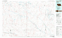 1985 Goose Creek1985 Print · USGSCentral Nebraska's Sandhills come into focus in the mid-eighties, showing a landscape of remote ranching outposts and wildlife preserves. Trace old rail routes and rural settlements like Brownlee, Seneca, and Purdum along the Goose Creek watershed.2 unique versions available
 - 1987 Map of Seneca, 1988 Print
 1987 Seneca1988 Print · USGSThe Middle Loup River valley in the mid-1980s reveals a ranching landscape at the intersection of three counties. Trace the heritage of local families at Van Dusen Ranch and Seneca, or locate old burial sites at two marked Cem locations.
 - 2011 Map of Seneca, 2011 Print
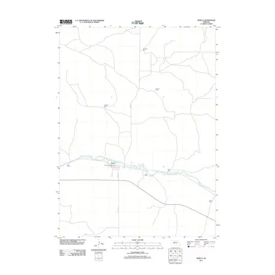 2011 Seneca2011 Print · USGSCovers Seneca, including Hooker County, Cherry County, and other nearby areas
 - 2014 Map of Seneca, 2014 Print
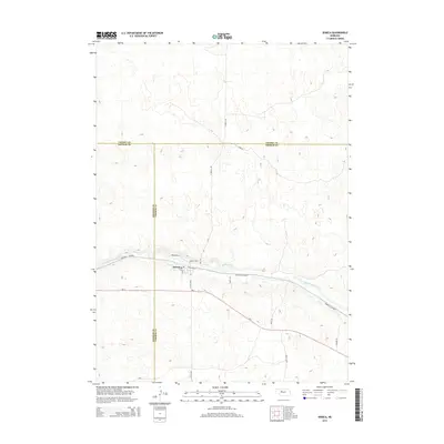 2014 Seneca2014 Print · USGSCovers Seneca, including Hooker County, Cherry County, and other nearby areas
 - 2017 Map of Seneca, 2017 Print
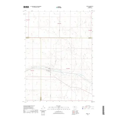 2017 Seneca2017 Print · USGSCovers Seneca, including Hooker County, Cherry County, and other nearby areas
 - 2021 Map of Seneca, 2021 Print
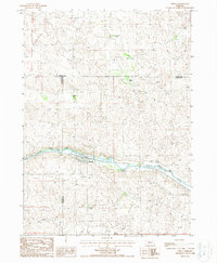
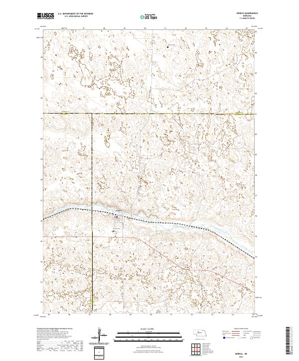 2021 Seneca2021 Print · USGSThe Nebraska sandhills surrounding Seneca are captured in the early 2020s as the Middle Loup River flows through Thomas and Hooker counties. Genealogists and local historians can pinpoint the Seneca Cemetery and the northern Jimtown Cemetery.
End of results
Showing maps 1-10 of 10
Top cities near Seneca
Frequently asked questions
- What are the different types of historical maps available for Seneca?
- What is the oldest map of Seneca?
- Where can I purchase historical maps of Seneca for my home or office?
- Where can I download high-res historical maps of Seneca?
- Are there historical topographic maps available for Seneca?
- Is there historical aerial imagery available for Seneca?
- Where are historical maps of Seneca sourced from?