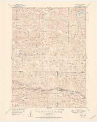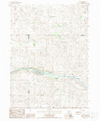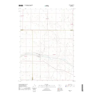
1948 Map of Seneca
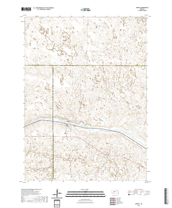
USGS Topo · Published 1956About this map
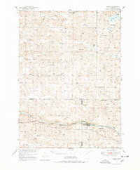
The Middle Loup River winds through the southern reaches of this Nebraska Sandhills landscape, creating a vital corridor for transportation and ranching during the mid-twentieth century. Following the river's northern bank, the Chicago Burlington and Quincy railroad connects the village of Seneca to the smaller siding at Kelso. The surrounding terrain is defined by vast depressions like Barent Valley and Calf Creek Valley, where isolated ranching operations such as the Simonson and Lowe Ranch, Phillips Ranch, and Edelman Ranch established their holdings.
Find a feature on this map
36 named features on this map. Tap any name to fly to it.
Don’t see what you’re looking for? This feature index may not catch every label — zoom into the map to look around manually.
Map Details
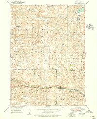
Editions of this 1948 Seneca Map
3 editions found
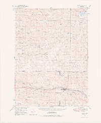
Historical Maps of Seneca Through Time
7 maps found