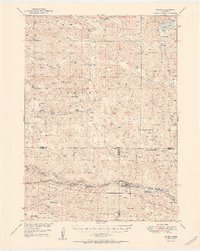
1948 Map of Seneca
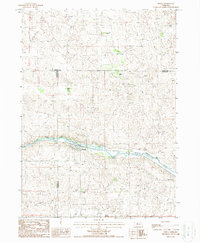
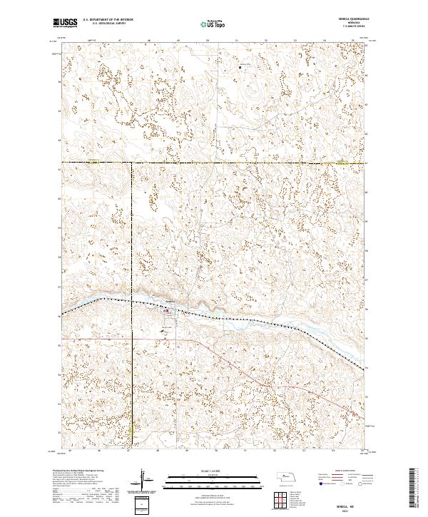
USGS Topo · Published 1978About this map
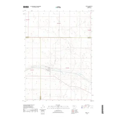
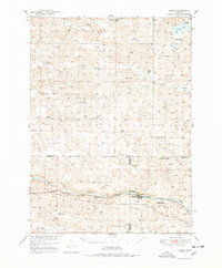
The Middle Loup River carves a path through the Nebraska Sandhills, defining the southern landscape where the settlement of Seneca serves as a local hub. This mid-century survey illustrates a ranching economy organized around valley systems like Rose Valley, Dry Valley, and Barent Valley. The Chicago Burlington and Quincy railroad parallels the river, connecting small rail stops at Kelso and Quincy. For those researching family history in the region, the map identifies numerous family-named properties, including the Simonson and Lowe Ranch, Metz Ranch, and Van Dusen Ranch. Cultural landmarks from the era of rural school districts are visible, such as Virginia Sch and Huddle Sch, alongside the isolated James Cem. The terrain is characterized by the unique topography of the sandhills, with notable elevations like Giant Hill rising above the valley floors and scattered water bodies such as Swan Lake providing essential resources for the cattle operations that dominated the area.
Find a feature on this map
35 named features on this map. Tap any name to fly to it.
Don’t see what you’re looking for? This feature index may not catch every label — zoom into the map to look around manually.
Map Details
Editions of this 1948 Seneca Map
3 editions found
Historical Maps of Seneca Through Time
7 maps found