Loading...
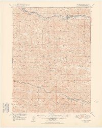
Loading map...1950 Map of Thedford
USGS Topo · Published 1950About this map
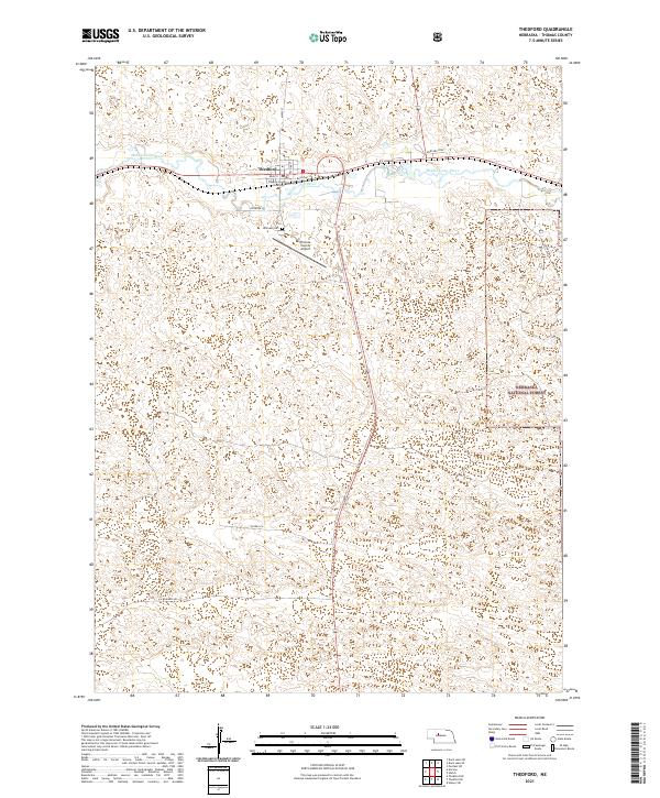
Thedford serves as the primary hub of activity in this section of Thomas County, situated where the Chicago Burlington and Quincy railroad follows the valley of the Middle Loup River. This 1950 edition reflects a landscape defined by the Sandhills, where water courses dictate the placement of transportation and settlement. Further south, the Dismal River winds through the terrain, crossed by the Warner Bridge.
Find a feature on this map
15 named features on this map. Tap any name to fly to it.
Don’t see what you’re looking for? This feature index may not catch every label — zoom into the map to look around manually.
Map Details
Date Portrayed1950
Date Published1950
PublisherU.S. Geological Survey
Map TypeTopographic
Scale1:62,500
Physical Dimensions17.12 x 21.29 inches
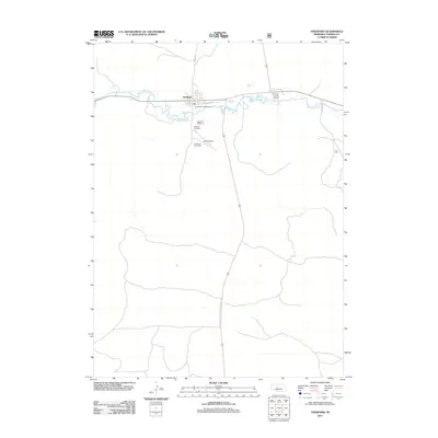
Editions of this 1950 Thedford Map
2 editions found
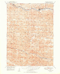
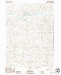
Historical Maps of Thedford Through Time
7 maps found

Featured Locations
Source Details
SourceU.S. Geological Survey
CopyrightPublic Domain