1948 Map of Thedford
USGS Topo · Published 1963About this map
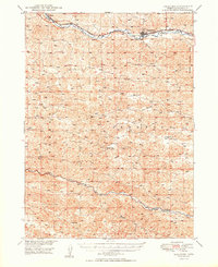
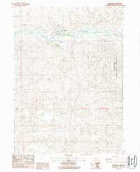
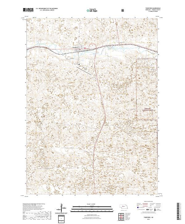
The Middle Loup River winds through the heart of the Sandhills in this 1940s survey, anchoring the village of Thedford and the surrounding ranching landscape. This region of Thomas County is defined by its dramatic watercourses and the sparse but deliberate placement of essential community structures. The Chicago Burlington and Quincy railroad follows the river valley through the settlement of Norway, illustrating the critical link between the rails and the cattle-raising economy of the era. To the south, the Dismal River carves a deeper path through the terrain, crossed by the Warner Bridge. One of the most distinctive aspects of this map is the density of rural education sites, including Florea Sch, Ewoldt Sch, Albright Sch, and Bandy Sch, providing a precise record of the district school system that served isolated family homesteads and ranching outposts before later consolidations.
Find a feature on this map
16 named features on this map. Tap any name to fly to it.
Don’t see what you’re looking for? This feature index may not catch every label — zoom into the map to look around manually.
Map Details
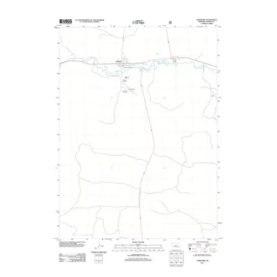
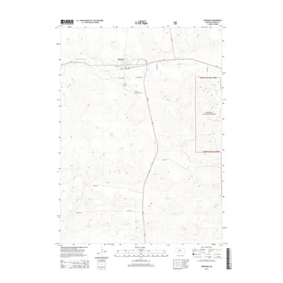
Editions of this 1948 Thedford Map
This is the sole edition of this map. No revisions or reprints were ever made.
Historical Maps of Thedford Through Time
7 maps found