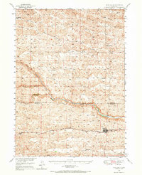
1948 Map of Mullen
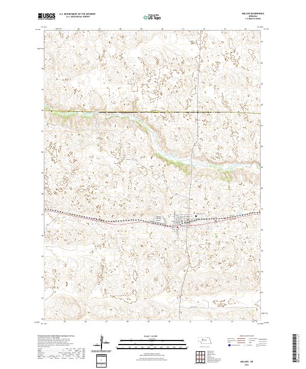
USGS Topo · Published 1967About this map
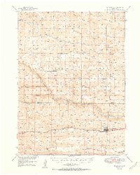
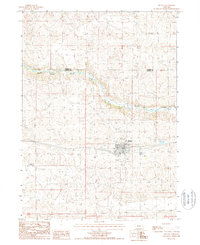
Mullen sits as a vital rail hub in the Nebraska Sandhills just after the war, anchored by the Chicago Burlington and Quincy railroad line. This 1948 field-checked survey reveals a landscape of ranching and dispersed rural education, with several family-named or local schoolhouses like Prentice Sch and Delight Sch marking the sections. The hydrology of the region is defined by the convergence of the North Branch Middle Loup River and South Branch Middle Loup River, creating a network of valleys and creeks such as Calf Creek that dictated early settlement patterns. Further west along the tracks, the siding of Hecla serves the remote northwestern corner of the quadrangle. The map also includes curious modern developments of the era, such as the Sewage Disposal plant near the town site, illustrating the transition from frontier post to established county seat.
Find a feature on this map
17 named features on this map. Tap any name to fly to it.
Don’t see what you’re looking for? This feature index may not catch every label — zoom into the map to look around manually.
Map Details
Editions of this 1948 Mullen Map
This is the sole edition of this map. No revisions or reprints were ever made.
Historical Maps of Mullen Through Time
8 maps found