Old Maps of Arcadia, Nebraska for Hiking & Exploration
Hike through history with 13 historic maps of Arcadia. Explore old trails, ghost towns, and forgotten backroads — perfect for outdoor adventurers and local explorers.
- Rediscover forgotten places: Map out old mining camps, roads, and footpaths that no longer exist on modern maps.
- Layer with modern tools: Combine with LiDAR or satellite views to plan hikes through historical terrain.
- Made for exploration: Popular among hikers, overlanders, and local history lovers.
Use these maps to find adventure and explore the hidden past of Arcadia.
Arcadia, NE maps
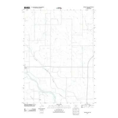
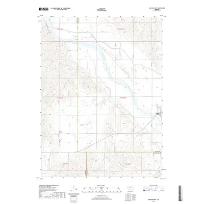
(13)- 1951 Map of Arcadia West, 1953 Print
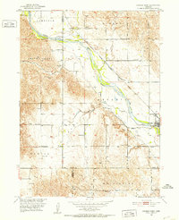 1951 Arcadia West1953 Print · USGSThe Middle Loup River valley in the early fifties shows a landscape defined by rail, irrigation, and dozens of rural schoolhouses. Trace the path of the Chicago Burlington and Quincy railroad past Arcadia, Sacred Heart Cem, and Knight Sch.3 unique versions available
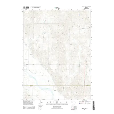
 - 1951 Map of Arcadia East, 1953 Print
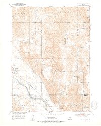 1951 Arcadia East1953 Print · USGSValley and Sherman Counties come alive in this early postwar record of the Middle Loup River valley. Genealogists and local historians can locate numerous rural schoolhouses like Old Yale Sch and Arbordale Sch or trace the Chicago Burlington and Quincy rail line.3 unique versions available
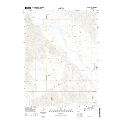
 - 1955 Map of Broken Bow
 1955 Broken Bow1955 Print · USGSCentral Nebraska in the mid-fifties is defined by the sweeping Sand Hills and the vital river valleys that supported its ranching and rail towns. Researchers can trace the rail corridors of the Union Pacific RR and locate settlements like Dannebrog, Broken Bow, and Brewster.5 unique versions available
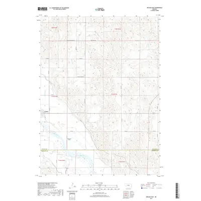
 - 1956 Map of Broken Bow
 1956 Broken Bow1956 Print · USGSCentral Nebraska during the mid-fifties reveals a region defined by its river-valley railroads and the rolling Sand Hills. Genealogists and local historians can trace the paths of the Chicago Burlington and Quincy through towns like Broken Bow, Merna, and Anselmo.
 - 1985 Map of Broken Bow
 1985 Broken Bow1985 Print · USGSCuster County in the mid-1980s displays a landscape of high tablelands and river valleys shaped by the reach of the railroad. Genealogists and researchers can trace the old rail stops along Mud Creek, from Berwyn to Litchfield, or locate land near Redfern Table and West Table.2 unique versions available
 - 2011 Map of Arcadia West, 2011 Print
 2011 Arcadia West2011 Print · USGSCovers Arcadia, including Custer County, Sherman County, and other nearby areas
 - 2011 Map of Arcadia East, 2011 Print
 2011 Arcadia East2011 Print · USGSCovers Arcadia, including Sherman County, Valley County, and other nearby areas
 - 2014 Map of Arcadia East, 2014 Print
 2014 Arcadia East2014 Print · USGSCovers Arcadia, including Sherman County, Valley County, and other nearby areas
 - 2014 Map of Arcadia West, 2014 Print
 2014 Arcadia West2014 Print · USGSCovers Arcadia, including Custer County, Sherman County, and other nearby areas
 - 2017 Map of Arcadia East, 2017 Print
 2017 Arcadia East2017 Print · USGSCovers Arcadia, including Sherman County, Valley County, and other nearby areas
 - 2017 Map of Arcadia West, 2017 Print
 2017 Arcadia West2017 Print · USGSCovers Arcadia, including Custer County, Sherman County, and other nearby areas
 - 2021 Map of Arcadia West, 2021 Print
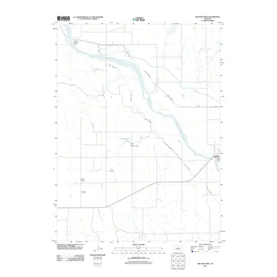
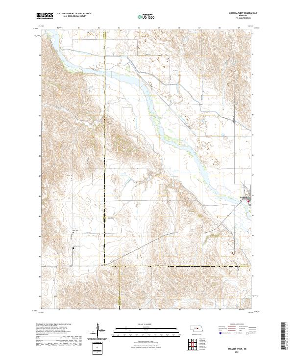 2021 Arcadia West2021 Print · USGSCentral Nebraska's river-bottom farm country is shown here in the early twenty-first century as irrigation canals divert water across the valley. Researchers can trace family sites near Arcadia, or locate the Sacred Heart Cem and Lee Park Cem near the Lee Park settlement.
 - 2021 Map of Arcadia East, 2021 Print
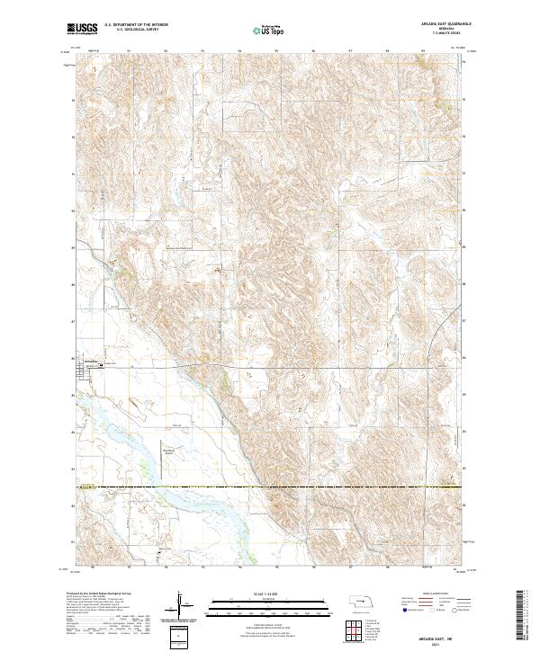 2021 Arcadia East2021 Print · USGSThe village of Arcadia and the winding Middle Loup River dominate this modern survey of the Valley and Sherman county line. Researchers can locate family roots at Arcadia Cem and Balsora Cem or trace the irrigation network of Canal Number 4.
End of results
Showing maps 1-13 of 13
Top cities near Arcadia
Frequently asked questions
- What are the different types of historical maps available for Arcadia?
- What is the oldest map of Arcadia?
- Where can I purchase historical maps of Arcadia for my home or office?
- Where can I download high-res historical maps of Arcadia?
- Are there historical topographic maps available for Arcadia?
- Is there historical aerial imagery available for Arcadia?
- Where are historical maps of Arcadia sourced from?