Old Maps of Midas, Nevada
Explore 9 old maps of Midas, spanning from 1955 to today. These high-resolution historic maps reveal how streets, neighborhoods, landmarks, and natural features evolved over time — perfect for genealogy, metal detecting, research, and local history exploration.
What you can do with these maps:
- See how Midas changed over time: Compare historical maps to modern-day views to trace roads, homesites, rail lines & more.
- View detailed metadata: Each map includes creators, publishers, year, scale, and archive source.
- Overlay maps with satellite & LiDAR: Visualize the past alongside modern tools to explore terrain & human change.
- Trusted historical sources: Maps sourced from the USGS, Library of Congress, and other archives.
- Access maps your way: View online, download high-res files, or order prints for personal or research use.
Start exploring old maps of Midas to uncover forgotten places, hidden landmarks, and the deep history beneath your feet.
Midas, NV maps
(9)- 1955 Map of McDermitt
 1955 McDermitt1955 Print · USGSNorthern Nevada in the mid-fifties shows a landscape of mining camps and vast cattle ranges. Trace the early footprints of Tuscarora or the remote Cordero Mine and National Mine tucked into the high desert peaks.3 unique versions available
 - 1959 Map of McDermitt
 1959 McDermitt1959 Print · USGSThe high-desert borderlands of northern Nevada and southern Oregon are captured here in the late fifties. Researchers can trace historic mining operations at the Cordero Mine and Getchell Mine, or locate settlements like Paradise Valley and Tuscarora.2 unique versions available
 - 1965 Map of Midas, 1967 Print
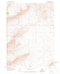 1965 Midas1967 Print · USGSThe mining community of Midas and its surrounding silver claims are captured here during the mid-1960s. Researchers can trace the layout of the old town site, the Midas Cemetery, and several working prospects like the Rex and Esmeralda Mines.2 unique versions available
 - 1982 Map of Tuscarora, 1983 Print
 1982 Tuscarora1983 Print · USGSNortheastern Nevada in the early eighties reveals a landscape shaped by mining and high-desert hydrology. Trace the locations of historic extraction sites like Silver Cloud Mine or the Falcon Mines and find remote landmarks such as Hot Sulphur Springs.
 - 2012 Map of Midas, 2012 Print
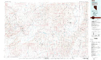
 2012 Midas2012 Print · USGSCovers Midas, including Elko County, United States, and other nearby areas
 - 2014 Map of Midas, 2014 Print
 2014 Midas2014 Print · USGSCovers Midas, including Elko County, United States, and other nearby areas
 - 2018 Map of Midas, 2018 Print
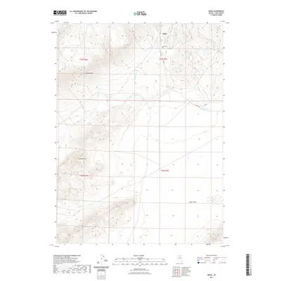
 2018 Midas2018 Print · USGSCovers Midas, including Elko County, United States, and other nearby areas
 - 2021 Map of Midas, 2021 Print
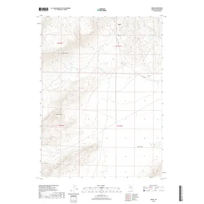
 2021 Midas2021 Print · USGSCovers Midas, including Elko County, United States, and other nearby areas
 - 2023 Map of Midas, 2023 Print
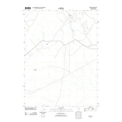
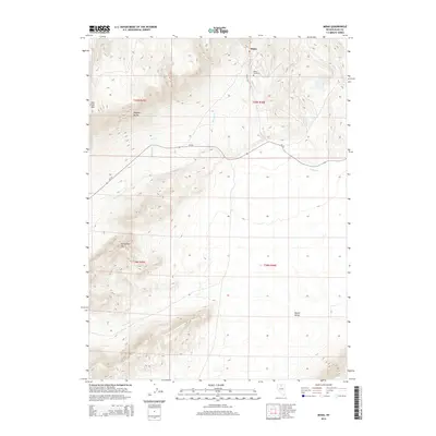
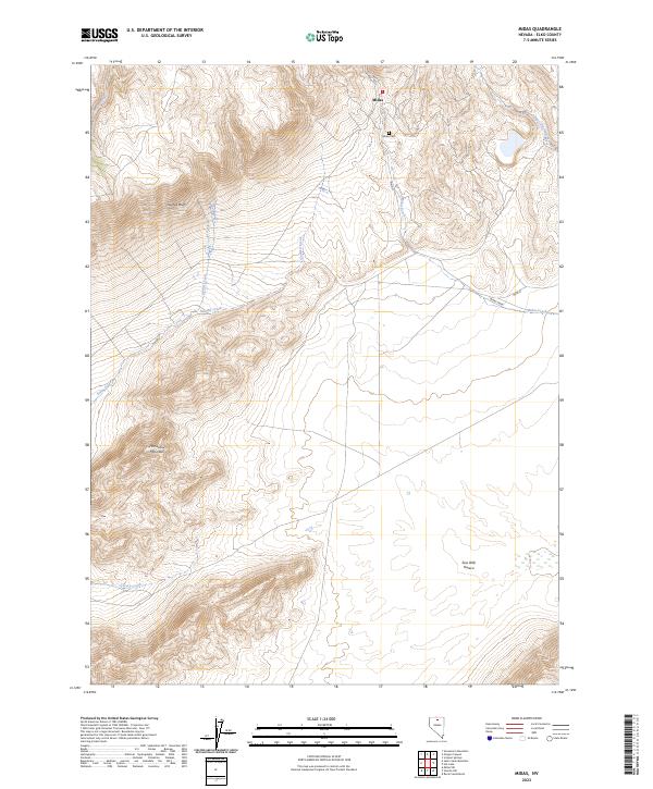 2023 Midas2023 Print · USGSThe small mining town of Midas and its surrounding high-desert terrain are captured in this contemporary Elko County survey. Local historians can locate the Midas Cem and trace the paths of Midas Creek and Summit Creek through the Owyhee Bluffs.
End of results
Showing maps 1-9 of 9
Frequently asked questions
- What are the different types of historical maps available for Midas?
- What is the oldest map of Midas?
- Where can I purchase historical maps of Midas for my home or office?
- Where can I download high-res historical maps of Midas?
- Are there historical topographic maps available for Midas?
- Is there historical aerial imagery available for Midas?
- Where are historical maps of Midas sourced from?