Old Maps of Palisade, Nevada for Academic Research
Study the evolution of Palisade with 10 high-resolution historic maps. Whether you're teaching, researching, or modeling changes in land use, these maps provide essential visual documentation of urban, environmental, and geographic change.
- Analyze long-term change: Track patterns in development, transportation, and natural features.
- Ideal for environmental or urban studies: Support academic projects with primary historical map data.
- Use in the classroom or lab: Educators and researchers rely on these maps to bring historical context to life.
These maps are a powerful tool for teaching, research, and visualizing how Palisade has changed over the decades.
Palisade, NV maps
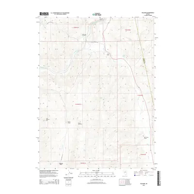
(10)- 1952 Map of Carlin, 1954 Print
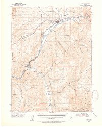 1952 Carlin1954 Print · USGSThe Nevada high desert meets the iron rail in the early 1950s as the Southern Pacific and Western Pacific navigate the Humboldt River corridor. Researchers can trace historic routes like the California Trail or locate family sites like Raine Ranch and Thomas Place.5 unique versions available
 - 1955 Map of Winnemucca, 1968 Print
 1955 Winnemucca1968 Print · USGSNorthern Nevada's high desert corridor is captured here in the mid-fifties, centered on the river-and-rail hub of Winnemucca. Researchers can trace the dual tracks of the Southern Pacific and Western Pacific railroads through towns like Golconda and Valmy.3 unique versions available
 - 1958 Map of Winnemucca
 1958 Winnemucca1958 Print · USGSNorthern Nevada in the late fifties was defined by the parallel rhythms of the great transcontinental railroads and a resilient mining industry. Genealogists and historians can trace old mining camps and remote rail sidings from Gold Acres and Palisade to the Adelaide district.2 unique versions available
 - 1962 Map of Winnemucca
 1962 Winnemucca1962 Print · USGSNorthern Nevada's high desert comes alive in the mid-1950s as a vital transportation and mining corridor following the Humboldt River. Trace the early rail-and-ranch economy through stops like Palisade, find old workings at the Adelaide Mine, and see the layout of Winnemucca before the interstate era.
 - 1985 Map of Palisade, 1986 Print
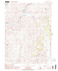 1985 Palisade1986 Print · USGSThe Humboldt River corridor in the mid-1980s reveals a landscape of high-desert ranching and railroad history. Genealogists and historians can trace the legacy of local families at Tomera Ranch, Thomas Place, and the old townsite of Palisade.2 unique versions available
 - 1988 Map of Battle Mountain
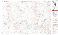 1988 Battle Mountain1988 Print · USGSNorth-central Nevada in the late eighties shows a landscape deeply tied to the Humboldt River and its heavy rail corridors. Trace the path of the Southern Pacific through high-desert hubs like Battle Mountain, Beowawe, and the Schroeder Mountain Mine.
 - 2012 Map of Palisade, 2012 Print
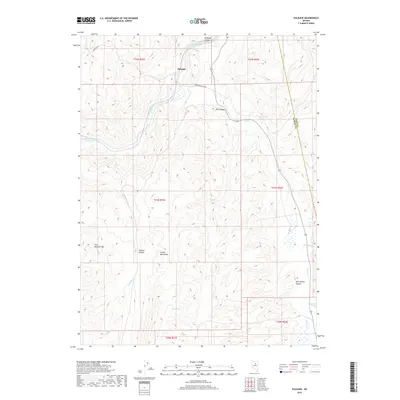
 2012 Palisade2012 Print · USGSCovers Palisade, including Elko County, Eureka County, and other nearby areas
 - 2014 Map of Palisade, 2014 Print
 2014 Palisade2014 Print · USGSCovers Palisade, including Elko County, Eureka County, and other nearby areas
 - 2018 Map of Palisade, 2018 Print
 2018 Palisade2018 Print · USGSCovers Palisade, including Elko County, Eureka County, and other nearby areas
 - 2021 Map of Palisade, 2021 Print
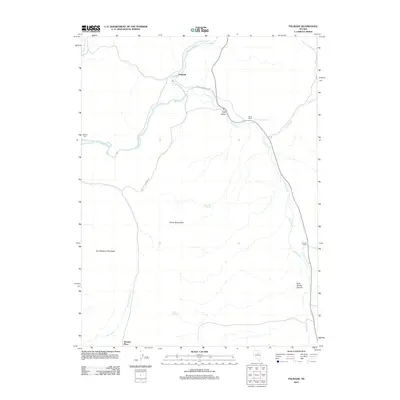
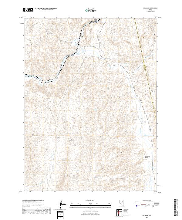 2021 Palisade2021 Print · USGSNorthern Eureka County and the Humboldt River corridor appear here in the early 2020s. Researchers can trace the water sources essential to this high desert region, from Raine Ranch Springs to the settlement of Palisade at the mouth of Palisade Canyon.
End of results
Showing maps 1-10 of 10
Top cities near Palisade
Frequently asked questions
- What are the different types of historical maps available for Palisade?
- What is the oldest map of Palisade?
- Where can I purchase historical maps of Palisade for my home or office?
- Where can I download high-res historical maps of Palisade?
- Are there historical topographic maps available for Palisade?
- Is there historical aerial imagery available for Palisade?
- Where are historical maps of Palisade sourced from?