Old Maps of Caliente, Nevada
Explore 20 old maps of Caliente, spanning from 1885 to today. These high-resolution historic maps reveal how streets, neighborhoods, landmarks, and natural features evolved over time — perfect for genealogy, metal detecting, research, and local history exploration.
What you can do with these maps:
- See how Caliente changed over time: Compare historical maps to modern-day views to trace roads, homesites, rail lines & more.
- View detailed metadata: Each map includes creators, publishers, year, scale, and archive source.
- Overlay maps with satellite & LiDAR: Visualize the past alongside modern tools to explore terrain & human change.
- Trusted historical sources: Maps sourced from the USGS, Library of Congress, and other archives.
- Access maps your way: View online, download high-res files, or order prints for personal or research use.
Start exploring old maps of Caliente to uncover forgotten places, hidden landmarks, and the deep history beneath your feet.
Caliente, NV maps
(20)- 1885 Map of Pioche
 1885 Pioche1885 Print · USGSLincoln County was a center of frontier mining and ranching during the mid-1880s. Genealogists and historians can trace the early layout of the silver-rich Pioche district and find remote locations like Bullionville, Panacca, and Hackberry Spring.4 unique versions available
 - 1886 Map of Pioche, 1896 Print
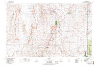
 1886 Pioche1896 Print · USGSEastern Nevada and the Utah borderlands are captured here during the height of the regional mining boom in the late nineteenth century. Genealogists and historians can trace early settlements and vital water sources like Bullionville, Panacca, and Hackberry Spring.
 - 1954 Map of Caliente
 1954 Caliente1954 Print · USGSLincoln County at mid-century reveals a landscape defined by the Union Pacific rail line and expanding Cold War military ranges. Researchers can trace the heritage of mining towns like Pioche, locate the Prince Mine, or find early airfields at Panaca Airport and Caliente.5 unique versions available
 - 1959 Map of Caliente
 1959 Caliente1959 Print · USGSSoutheast Nevada in the late fifties was a landscape of deep mines and sprawling military reservations. Genealogists and historians can trace the Union Pacific rail line through Caliente or locate operations like the Bristol Silver Mine and Groom Mine.2 unique versions available
 - 1970 Map of Caliente, 1973 Print
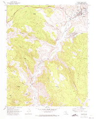 1970 Caliente1973 Print · USGSMeadow Valley and the Clover Mountains come into sharp focus in the 1970s as the railroad dictates the area's growth. Trace the rails through Caliente to the smaller settlement at Etna or locate the IOOF Cem and Pictographs.2 unique versions available
 - 1970 Map of Chief Mountain, 1974 Print
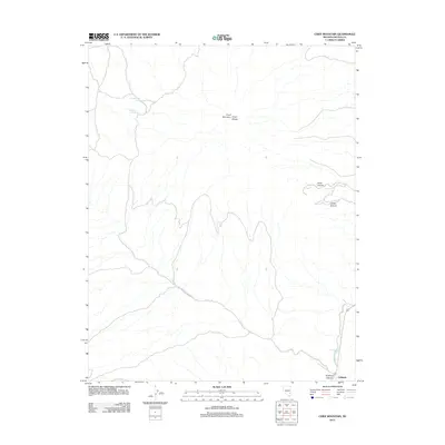
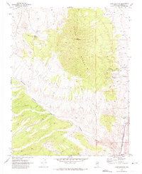 1970 Chief Mountain1974 Print · USGSThe Lincoln County high country is shown in detail during the early 1970s, from the peaks of the Chief Range to the rail junction at Caliente. Trace historical desert infrastructure including the Union Pacific line, Klondike Spring, and the isolated George Roger Well.
 - 1972 Map of Eccles, 1974 Print
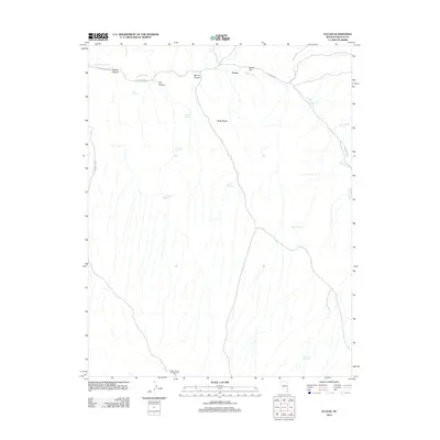
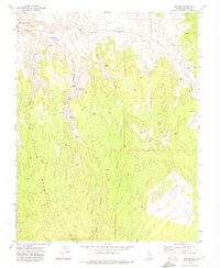 1972 Eccles1974 Print · USGSLincoln County at the start of the 1970s reveals a high-desert landscape shaped by the Union Pacific railroad. Researchers can trace the rail corridor through Eccles or locate natural landmarks like Big Cave, Tepee Rocks, and the Nevada Girls Training Center.
 - 1978 Map of Caliente, 1995 Print
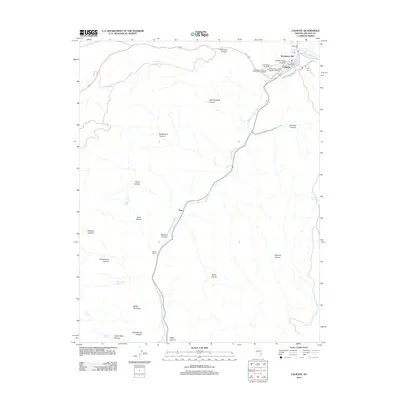
 1978 Caliente1995 Print · USGSEastern Nevada in the late 1970s was a landscape of deep canyons and active mining operations. Researchers can trace the Union Pacific rail corridor through Caliente or locate early silver and lead sites like the Prince Mine Centennial Shaft.
 - 2012 Map of Chief Mountain, 2012 Print
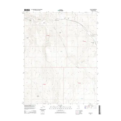
 2012 Chief Mountain2012 Print · USGSCovers Caliente, including Lincoln County, United States, and other nearby areas
 - 2012 Map of Eccles, 2012 Print
 2012 Eccles2012 Print · USGSCovers Caliente, including Lincoln County, United States, and other nearby areas
 - 2012 Map of Caliente, 2012 Print
 2012 Caliente2012 Print · USGSCovers Caliente, including Lincoln County, United States, and other nearby areas
 - 2014 Map of Eccles, 2014 Print
 2014 Eccles2014 Print · USGSCovers Caliente, including Lincoln County, United States, and other nearby areas
 - 2014 Map of Caliente, 2014 Print
 2014 Caliente2014 Print · USGSCovers Caliente, including Lincoln County, United States, and other nearby areas
 - 2014 Map of Chief Mountain, 2014 Print
 2014 Chief Mountain2014 Print · USGSCovers Caliente, including Lincoln County, United States, and other nearby areas
 - 2018 Map of Caliente, 2018 Print
 2018 Caliente2018 Print · USGSCovers Caliente, including Lincoln County, United States, and other nearby areas
 - 2018 Map of Chief Mountain, 2018 Print
 2018 Chief Mountain2018 Print · USGSCovers Caliente, including Lincoln County, United States, and other nearby areas
 - 2018 Map of Eccles, 2018 Print
 2018 Eccles2018 Print · USGSCovers Caliente, including Lincoln County, United States, and other nearby areas
 - 2021 Map of Caliente, 2021 Print
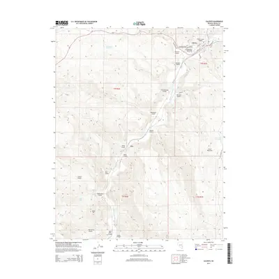
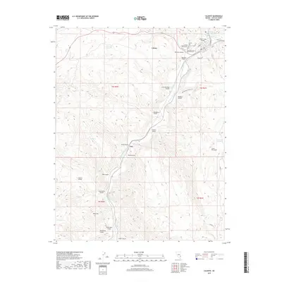
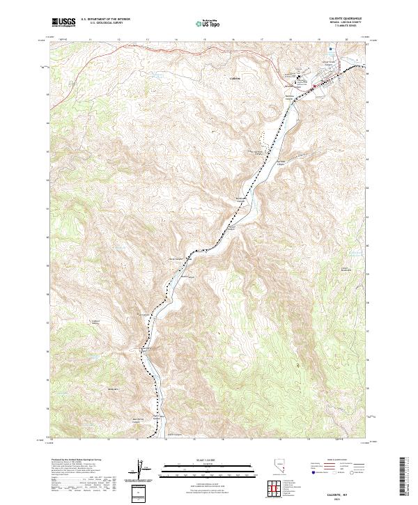 2021 Caliente2021 Print · USGSCaliente and the surrounding Lincoln County canyons are shown here in detail during the early twenty-first century. Genealogists and historians can trace the town's local roots at the Caliente City Cem or follow the terrain through Rainbow Canyon to the settlement of Etna.
 - 2021 Map of Eccles, 2021 Print
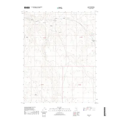
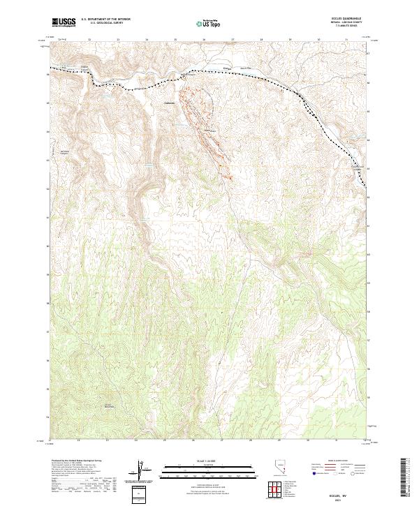 2021 Eccles2021 Print · USGSLincoln County, Nevada, is shown here in the early 2020s as a hub for both historic rail corridors and modern trail systems. Researchers can trace the drainage of Clover Creek past Eccles or explore the recreational network at Barnes Canyon Trailhead and the geological landmark of Tepee Rocks.
 - 2021 Map of Chief Mountain, 2021 Print
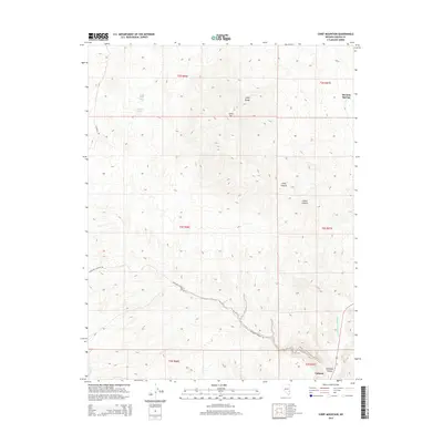
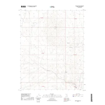
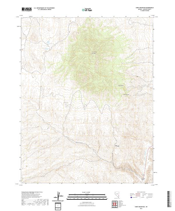 2021 Chief Mountain2021 Print · USGSCaliente and the surrounding high desert of Lincoln County are captured in this recent survey. Researchers can trace the path of Meadow Valley Wash or locate remote landmarks like Klondike Spring and the summits of the Chief Range.
End of results
Showing maps 1-20 of 20
Top cities near Caliente
Top neighborhoods of Caliente
Frequently asked questions
- What are the different types of historical maps available for Caliente?
- What is the oldest map of Caliente?
- Where can I purchase historical maps of Caliente for my home or office?
- Where can I download high-res historical maps of Caliente?
- Are there historical topographic maps available for Caliente?
- Is there historical aerial imagery available for Caliente?
- Where are historical maps of Caliente sourced from?