Old Maps of Tungsten, Nevada
Explore 12 old maps of Tungsten, spanning from 1931 to today. These high-resolution historic maps reveal how streets, neighborhoods, landmarks, and natural features evolved over time — perfect for genealogy, metal detecting, research, and local history exploration.
What you can do with these maps:
- See how Tungsten changed over time: Compare historical maps to modern-day views to trace roads, homesites, rail lines & more.
- View detailed metadata: Each map includes creators, publishers, year, scale, and archive source.
- Overlay maps with satellite & LiDAR: Visualize the past alongside modern tools to explore terrain & human change.
- Trusted historical sources: Maps sourced from the USGS, Library of Congress, and other archives.
- Access maps your way: View online, download high-res files, or order prints for personal or research use.
Start exploring old maps of Tungsten to uncover forgotten places, hidden landmarks, and the deep history beneath your feet.
Tungsten, NV maps
(12)- 1931 Map of Lovelock, 1955 Print
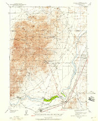
 1931 Lovelock1955 Print · USGSPershing County's high-desert mining landscape is frozen in time during the early 1930s, as gold and tungsten districts drove the local economy. Genealogists and historians can trace the foundations of Unionville, the industrial footprint of the Nevada Massachusetts Tungsten Mine, and the route of the Victory Highway.
 - 1935 Map of Lovelock
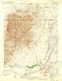
 1935 Lovelock1935 Print · USGSPershing County in the mid-1930s is a landscape of high-desert mining camps and essential rail hubs along the Humboldt. Researchers can trace the legacy of the silver and tungsten booms at Rochester, the Sulphur Mine, and the now-quiet streets of Unionville or Mazuma.3 unique versions available
 - 1939 Map of Eugene Mountains Area, 1958 Print
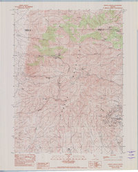
 1939 Eugene Mountains Area1958 Print · USGSPershing County's mining and transportation history are frozen in time just before the war as tungsten extraction peaked in the desert. Genealogists and historians can trace the Emigrant Trail and Old Stage Road alongside industrial landmarks like the Nevada Massachusetts Tungsten Mine and Mill City.3 unique versions available
 - 1942 Map of Eugene Mountains Area
 1942 Eugene Mountains Area1942 Print · USGSPershing and Humboldt counties were centers of mining and transit during the early Forties. Genealogists and historians can trace the intersection of the Emigrant Trail with industrial sites like the Nevada Massachusetts Tungsten Mine and ranching life at Thackers Ranch.2 unique versions available
 - 1955 Map of Lovelock, 1963 Print
 1955 Lovelock1963 Print · USGSNorthwestern Nevada’s vast desert basins and military ranges are captured here in the mid-fifties, showing a landscape defined by the Humboldt River and the great Pyramid Lake. Genealogists and historians can trace isolated rail stops like Gerlach and Empire, or locate historic workings such as the Golden Eagle Mine and Pershing Mine.5 unique versions available
 - 1959 Map of Lovelock
 1959 Lovelock1959 Print · USGSNorthwestern Nevada in the late fifties is a study in vast desert basins and isolated rail outposts like Gerlach and Sulphur. You can trace the Humboldt River corridor through Lovelock, identify mid-century military zones, and locate the Mine Mill in the northern ranges.2 unique versions available
 - 1982 Map of Woody Canyon
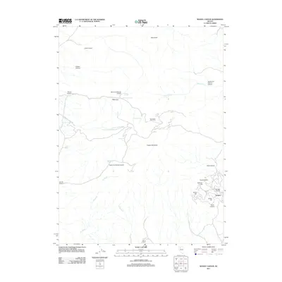
 1982 Woody Canyon1982 Print · USGSThe Eugene Mountains in the early eighties show a landscape heavily influenced by tungsten mining and remote desert springs. Genealogists and historians can trace the industrial footprint of the Nevada Massachusetts Tungsten Mine and the settlement at Tungsten.
 - 1985 Map of Eugene Mts
 1985 Eugene Mts1985 Print · USGSNorthern Nevada mining districts and desert basins are captured here during the mid-eighties. You can trace the Southern Pacific rail line through remote stops like Sulphur or locate deep-country operations like the Nevada-Massachusetts (Tungsten) Mine.2 unique versions available
 - 2011 Map of Woody Canyon, 2011 Print
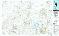
 2011 Woody Canyon2011 Print · USGSCovers Tungsten, including Humboldt County, Pershing County, and other nearby areas
 - 2014 Map of Woody Canyon, 2014 Print
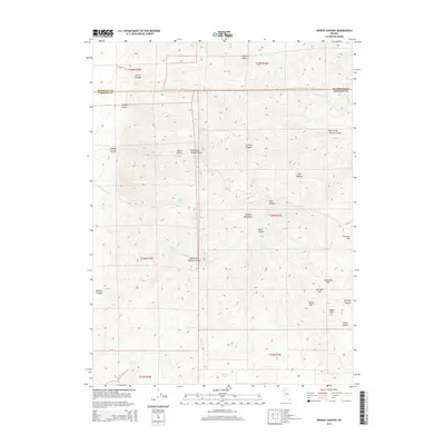 2014 Woody Canyon2014 Print · USGSCovers Tungsten, including Humboldt County, Pershing County, and other nearby areas
 - 2018 Map of Woody Canyon, 2018 Print
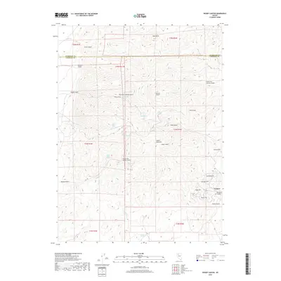 2018 Woody Canyon2018 Print · USGSCovers Tungsten, including Humboldt County, Pershing County, and other nearby areas
 - 2021 Map of Woody Canyon, 2021 Print
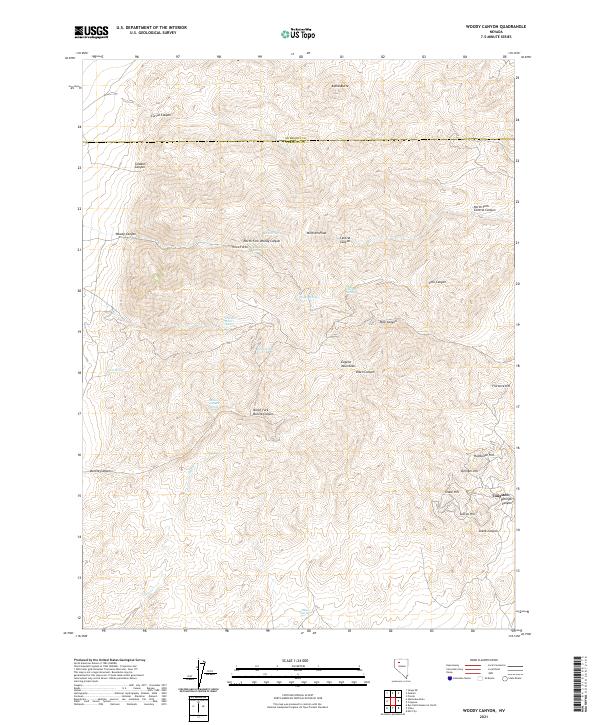 2021 Woody Canyon2021 Print · USGSPershing County's mining and ranching interior is captured here as it appeared in recent years. Researchers can trace the legacy of mineral extraction at Tungsten or locate vital desert water sources like Danner Spring and CCC Spring.
End of results
Showing maps 1-12 of 12
Top cities near Tungsten
Frequently asked questions
- What are the different types of historical maps available for Tungsten?
- What is the oldest map of Tungsten?
- Where can I purchase historical maps of Tungsten for my home or office?
- Where can I download high-res historical maps of Tungsten?
- Are there historical topographic maps available for Tungsten?
- Is there historical aerial imagery available for Tungsten?
- Where are historical maps of Tungsten sourced from?