
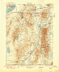
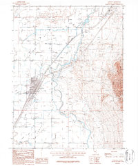
1931 Map of Lovelock
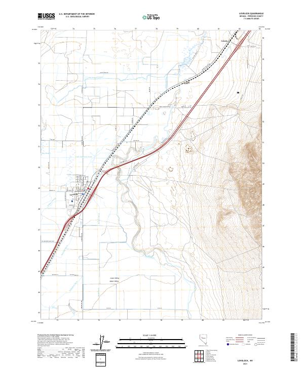
USGS Topo · Published 1955About this map
Mining operations and remote settlements define this high-desert region of Northwest Nevada during the early 1930s. The landscape is a complex network of silver, gold, and tungsten districts, including Rochester, Unionville, and Mazuma. Many of these centers were linked by the Southern Pacific RR and the Western Pacific RR, which navigated the difficult terrain between the Trinity Mts and the Eugene Mts. The Humboldt River provides a critical corridor for transport and irrigation, feeding the Humboldt Canal and Humboldt Reservoirs before reaching the Humboldt Lake (Carson Sink). This survey captures the transition from old mining camps like Seven Troughs and Tunnel Camp to the development of the Victory Highway, illustrating how industrial extraction and early transcontinental travel shaped the settlement patterns of Pershing County.
Find a feature on this map
100 named features on this map. Tap any name to fly to it.
Don’t see what you’re looking for? This feature index may not catch every label — zoom into the map to look around manually.
Map Details
Editions of this 1931 Lovelock Map
This is the sole edition of this map. No revisions or reprints were ever made.
Historical Maps of Lovelock Through Time
11 maps found
1931 Lovelock
Pershing County, NV
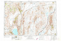
1935 Lovelock
Pershing County, NV
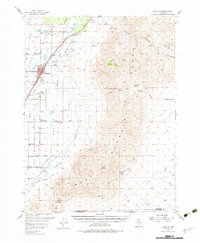
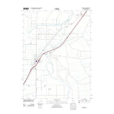
1955 Lovelock
Pershing County, NV
1956 Lovelock
Pershing County, NV

1959 Lovelock
Pershing County, NV
1984 Lovelock
Pershing County, NV
1987 Lovelock
Pershing County, NV
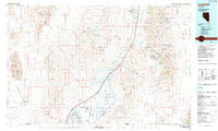
2011 Lovelock
Pershing County, NV
2014 Lovelock
Pershing County, NV
2018 Lovelock
Pershing County, NV
2021 Lovelock
Pershing County, NV