Old Maps of Verdi Lake Estates, Nevada
Explore 13 old maps of Verdi Lake Estates, spanning from 1891 to today. These high-resolution historic maps reveal how streets, neighborhoods, landmarks, and natural features evolved over time — perfect for genealogy, metal detecting, research, and local history exploration.
What you can do with these maps:
- See how Verdi Lake Estates changed over time: Compare historical maps to modern-day views to trace roads, homesites, rail lines & more.
- View detailed metadata: Each map includes creators, publishers, year, scale, and archive source.
- Overlay maps with satellite & LiDAR: Visualize the past alongside modern tools to explore terrain & human change.
- Trusted historical sources: Maps sourced from the USGS, Library of Congress, and other archives.
- Access maps your way: View online, download high-res files, or order prints for personal or research use.
Start exploring old maps of Verdi Lake Estates to uncover forgotten places, hidden landmarks, and the deep history beneath your feet.
Verdi Lake Estates, NV maps
(13)- 1891 Map of Reno
 1891 Reno1891 Print · USGSReno and the high desert valleys of Washoe County were undergoing a rail-driven expansion in the early 1890s. Genealogists and historians can trace early settlements like Poeville and Glendale or follow the path of the Central Pacific Railroad through Truckee Meadows.
 - 1893 Map of Reno
 1893 Reno1893 Print · USGSWashoe and Storey counties come to life in the late nineteenth century as Reno emerges as a major railroad hub. Researchers can trace the early paths of the Central Pacific Railroad and locate vanished outposts like Poeville and Junction House.7 unique versions available
 - 1950 Map of Reno, 1957 Print
 1950 Reno1957 Print · USGSMid-century Reno and Sparks appear here alongside the vital irrigation networks that sustained the Truckee Meadows. Researchers can trace the development of older neighborhoods and outlying sites like Poeville (Site), the Reno Fair Grounds, and Skyline Airfield.3 unique versions available
 - 1951 Map of Reno
 1951 Reno1951 Print · USGSMid-century Nevada comes into focus as Reno and Sparks expand along the Truckee River and transcontinental rail lines. Trace family history and local industry through features like Mtnview Cem, the Golden Fleece Mine, and early aviation at Skyline Airfield.2 unique versions available
 - 1957 Map of Reno, 1963 Print
 1957 Reno1963 Print · USGSWestern Nevada in the early sixties is a land of sprawling desert sinks and rising mountain ranges. Genealogists and historians can trace the rail-and-river network connecting Reno, the mining legacy of Rawhide Mine, and the boundaries of the Pyramid Lake Indian Reservation.5 unique versions available
 - 1959 Map of Reno
 1959 Reno1959 Print · USGSWestern Nevada in the late fifties was a land of expanding military airbases and high-desert irrigation projects. You can trace the lineage of the Comstock era through Carson City, locate the Pony Express Monument, or study the rail networks of the Southern Pacific RR.
 - 1960 Map of Reno
 1960 Reno1960 Print · USGSThe high desert of western Nevada comes alive in this mid-century survey of the Reno-Tahoe region. Genealogists and historians can trace rail lines like the Southern Pacific RR and locate remote outposts such as Olinghouse, Nixon, and the Olinghouse Mine.2 unique versions available
 - 1967 Map of Verdi, 1970 Print
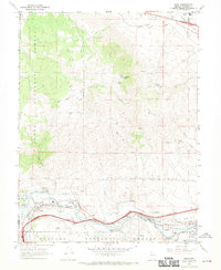 1967 Verdi1970 Print · USGSWashoe County at the height of the late sixties reveals a landscape of transit and mining legacy along the California-Nevada border. Trace the historic Southern Pacific rail lines through Verdi and identify old workings like the Red Metal Mine or the Poeveille (Site).5 unique versions available
 - 1980 Map of Reno
 1980 Reno1980 Print · USGSReno and its high-desert surroundings appear in transition during the 1980s, balancing rapid urban expansion with its deep mining and ranching roots. Genealogists and historians can trace the Southern Pacific line through Fernley or locate local landmarks like Mountain View Cem and the Ruth Mine.3 unique versions available
 - 2012 Map of Verdi, 2012 Print
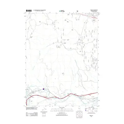 2012 Verdi2012 Print · USGSWest of Reno in the early twenty-first century, the river canyon and mountain slopes remain marked by historic family ranches and essential transport hubs. Genealogists and local historians can trace legacy sites like Gardella Ranch, Lawtons Hot Springs, and the Poeville Post Office as the area transitions from rural roots.
 - 2014 Map of Verdi, 2014 Print
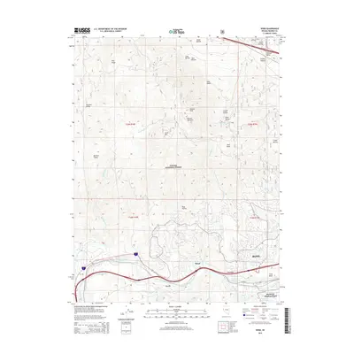 2014 Verdi2014 Print · USGSReno’s western edge meets the Sierra Nevada foothills in the mid-2010s, showing a landscape defined by the Truckee River and mountain peaks. Researchers can trace local water history through the Steamboat Ditch or locate landmarks like Lawtons Hot Springs and Peavine Peak.
 - 2018 Map of Verdi, 2018 Print
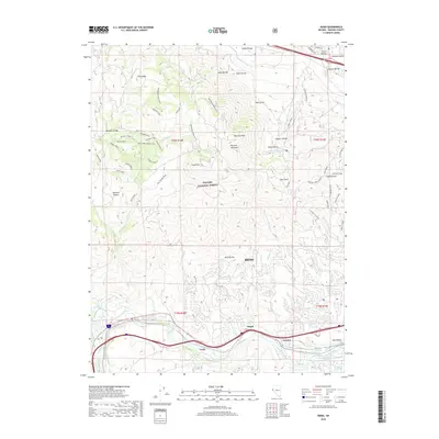 2018 Verdi2018 Print · USGSThe high peaks and river valleys west of Reno are captured here in recent detail, showing a landscape defined by the Toiyabe National Forest. Researchers can trace the path of the Truckee River past Verdi and Mogul, locating historic sites like Lawton Hot Springs.
 - 2021 Map of Verdi, 2021 Print
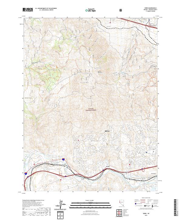 2021 Verdi2021 Print · USGSThe eastern Sierra foothills come into focus in the early 2020s, showing the residential and recreational growth between Verdi and Reno. Trace the path of the Last Chance Ditch and find local landmarks like Lawtons Hot Springs and Peavine Peak.
End of results
Showing maps 1-13 of 13
Frequently asked questions
- What are the different types of historical maps available for Verdi Lake Estates?
- What is the oldest map of Verdi Lake Estates?
- Where can I purchase historical maps of Verdi Lake Estates for my home or office?
- Where can I download high-res historical maps of Verdi Lake Estates?
- Are there historical topographic maps available for Verdi Lake Estates?
- Is there historical aerial imagery available for Verdi Lake Estates?
- Where are historical maps of Verdi Lake Estates sourced from?