Old Maps of Stonehouse, Nevada for Academic Research
Study the evolution of Stonehouse with 9 high-resolution historic maps. Whether you're teaching, researching, or modeling changes in land use, these maps provide essential visual documentation of urban, environmental, and geographic change.
- Analyze long-term change: Track patterns in development, transportation, and natural features.
- Ideal for environmental or urban studies: Support academic projects with primary historical map data.
- Use in the classroom or lab: Educators and researchers rely on these maps to bring historical context to life.
These maps are a powerful tool for teaching, research, and visualizing how Stonehouse has changed over the decades.
Stonehouse, NV maps
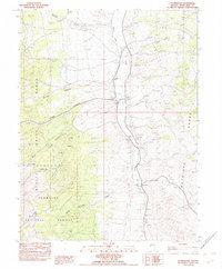
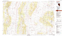
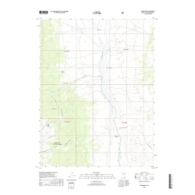
(9)- 1956 Map of Ely, 1968 Print
 1956 Ely1968 Print · USGSEastern Nevada in the mid-fifties is a land of massive mountain ranges and silver-boom history. Trace the legacy of mining ruins at Hamilton and Treasure City or follow the path of the Nevada Northern RR through Ely.5 unique versions available
 - 1959 Map of Ely
 1959 Ely1959 Print · USGSEastern Nevada's high desert reveals its mining heart and pioneer ranching outposts during the late fifties. Genealogists and historians can trace family-named outposts like Goicoechea Ranch or explore the ruins of former silver-mining hubs like Hamilton and Treasure City.2 unique versions available
 - 1963 Map of Ely
 1963 Ely1963 Print · USGSEastern Nevada's high basins and mountain ranges are captured here in the early sixties, showing a landscape defined by mining and ranching. Trace family roots at the Thompson Ranch or follow the Nevada Northern Railroad through Steptoe Valley.
 - 1982 Map of Stonehouse
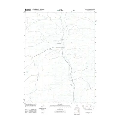
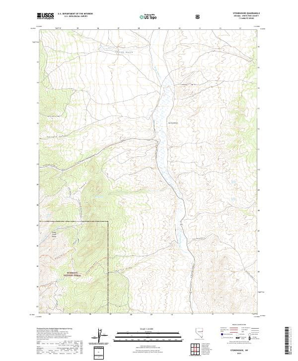
 1982 Stonehouse1982 Print · USGSWhite Pine County ranching life is documented here in the early eighties, showing a landscape shaped by water and high-altitude grazing. Researchers can locate specific family operations like Rosenlund Ranch and the isolated settlement of Stonehouse near Spring Valley Creek.
 - 1988 Map of Kern Mountains
 1988 Kern Mountains1988 Print · USGSThe high-desert basins of the Nevada-Utah border are captured here in the late eighties, documenting a remote landscape of mining and ranching. Researchers can trace historic travel routes through Schellbourne Pass or locate the site of Cherry Creek Station and Stonehouse.2 unique versions available
 - 2012 Map of Stonehouse, 2012 Print
 2012 Stonehouse2012 Print · USGSCovers Stonehouse, including White Pine County, United States, and other nearby areas
 - 2014 Map of Stonehouse, 2014 Print
 2014 Stonehouse2014 Print · USGSCovers Stonehouse, including White Pine County, United States, and other nearby areas
 - 2018 Map of Stonehouse, 2018 Print
 2018 Stonehouse2018 Print · USGSCovers Stonehouse, including White Pine County, United States, and other nearby areas
 - 2021 Map of Stonehouse, 2021 Print
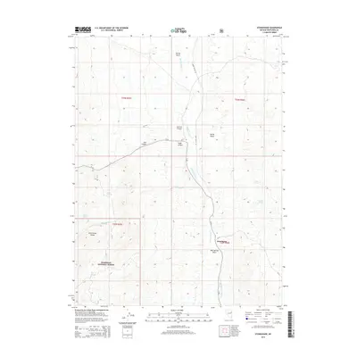
 2021 Stonehouse2021 Print · USGSWhite Pine County remains a landscape of high-basin springs and forested peaks in the early twenty-first century. Researchers can trace historic access routes like Siegel Creek Rd and locate vital water sources including Mud Springs and Golden Springs.
End of results
Showing maps 1-9 of 9
Frequently asked questions
- What are the different types of historical maps available for Stonehouse?
- What is the oldest map of Stonehouse?
- Where can I purchase historical maps of Stonehouse for my home or office?
- Where can I download high-res historical maps of Stonehouse?
- Are there historical topographic maps available for Stonehouse?
- Is there historical aerial imagery available for Stonehouse?
- Where are historical maps of Stonehouse sourced from?