Old Maps of Brookfield, New Hampshire for Metal Detecting
Plan your next treasure hunt with 27 historic maps of Brookfield. Find old homesites, ghost towns, trails, and gathering spots that may be lost to time — perfect for identifying promising metal detecting locations.
- Locate forgotten sites: Uncover places like long-lost settlements, abandoned rail lines, or gathering spots.
- Plan better hunts: Use map overlays combined with LiDAR or satellite views to narrow in on historically rich areas.
- Made for detectorists: Thousands of hobbyists use these maps to discover relics, coins, and hidden history.
Use these historic maps to boost your research and find new opportunities beneath the surface of Brookfield.
Brookfield, NH maps
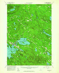
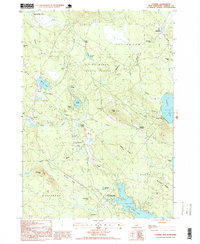
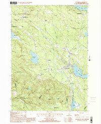
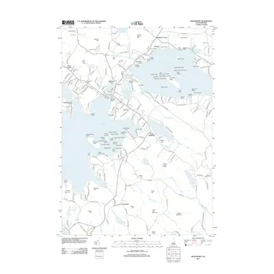
(27)- 1928 Map of Wolfeboro
 1928 Wolfeboro1928 Print · USGSThe Lakes Region thrives in the late twenties as a premier destination for rail travelers and summer residents. Trace family history through Wolfeboro landmarks like Brewster Academy or find old stop-offs along the Boston and Maine RR.7 unique versions available
 - 1949 Map of Portland
 1949 Portland1949 Print · USGSCoastal Maine and the New Hampshire interior are shown in detail during the late forties, from the bustling harbors to the lakeside villages. Researchers can trace historical rail networks like the Boston & Maine RR and locate coastal defenses such as Fort Preble.3 unique versions available
 - 1956 Map of Portland, 1963 Print
 1956 Portland1963 Print · USGSSouthern Maine and eastern New Hampshire are captured here in the mid-fifties, during a time of major highway expansion and military growth. You can trace the path of the Maine Turnpike and locate landmarks like the Portsmouth Naval Shipyard and Sebago Lake.4 unique versions available
 - 1958 Map of Wolfeboro, 1960 Print
 1958 Wolfeboro1960 Print · USGSCentral New Hampshire's lake country is captured here in the late fifties, showing the established rail lines and summer colonies. Genealogists can trace family names across Federal Corner, locate Union Church, or study the grounds of Brewster Academy.2 unique versions available
 - 1959 Map of Portland
 1959 Portland1959 Print · USGSThe Maine and New Hampshire coastlines meet in this mid-century portrait of maritime commerce and inland rail networks. Researchers can trace the legacy of coastal defense at Fort Williams and follow the historic path of the Maine Central RR through the White Mountain National Forest.2 unique versions available
 - 1963 Map of Portland
 1963 Portland1963 Print · USGSCoastal Maine and New Hampshire thrived as maritime and industrial hubs during the mid-sixties, linked by a dense network of rail and river. Researchers can trace historic transit corridors like the Maine Central RR and locate key sites such as the Portsmouth Naval Shipyard or Pease Air Force Base.3 unique versions available
 - 1986 Map of Lake Winnipesaukee
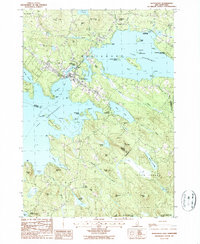
 1986 Lake Winnipesaukee1986 Print · USGSThe Lakes Region in the mid-eighties shows a landscape of dense water bodies and mountain ranges at the peak of its twentieth-century character. Trace the legacy of old rail lines like the Boston and Maine RR and locate historic centers from Rumney Depot to Melvin Village.2 unique versions available
 - 1987 Map of Ossipee
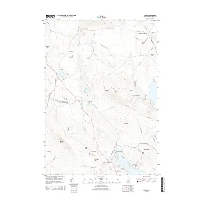
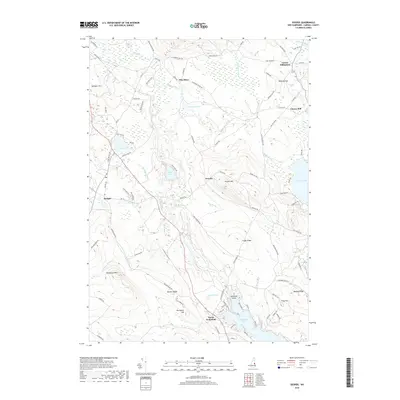
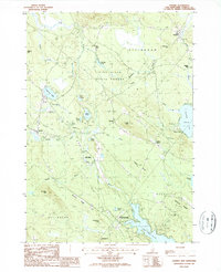 1987 Ossipee1987 Print · USGSCarroll County was a landscape of winding rivers and lakeside hamlets during the late eighties. Genealogists and historians can trace local family roots through numerous cemeteries and settlements like Ossipee, North Wakefield, and the mill site at Chases Mill.
 - 1987 Map of Sanbornville
 1987 Sanbornville1987 Print · USGSSanbornville and the surrounding lake country are captured in the late eighties, documenting a landscape where rail history still marks the local geography. Researchers can trace rural cemetery locations and old rail stops like Burleyville Station and Cotton Valley Station.
 - 1987 Map of Wolfeboro
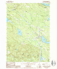
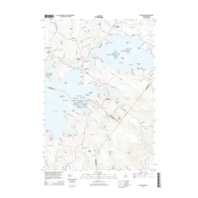
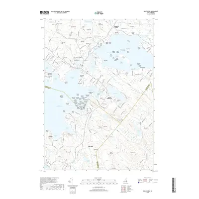
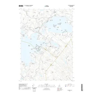
 1987 Wolfeboro1987 Print · USGSThe Lakes Region of New Hampshire thrives in the late eighties, centered on the bustling resort community of Wolfeboro. Genealogists and historians can trace family-named landmarks like Cates Hill and Hayes Hill, or explore the shorelines of Lake Winnipesaukee and Lake Wentworth.
 - 1998 Map of Ossipee, 1999 Print
 1998 Ossipee1999 Print · USGSThe rural landscapes of Carroll County are captured here in the late nineties, documenting a network of small settlements and conservation forests. Researchers can locate specific family landmarks and local businesses like Chases Mill, the Drive-in Theater, and Leighton Corners.
 - 2000 Map of Sanbornville, 2001 Print
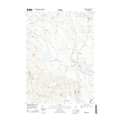
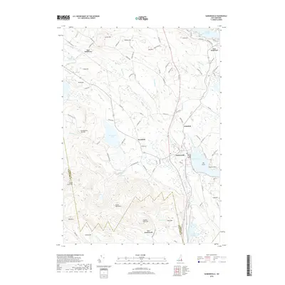
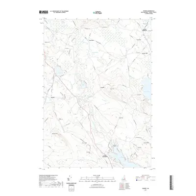
 2000 Sanbornville2001 Print · USGSThe eastern Carroll County highlands at the turn of the millennium show a landscape of historic rail stations and protected forests. Trace local heritage at Cotton Valley Station, the Governor Wentworth State Farm, and the slopes of the Moose Mountains.
 - 2012 Map of Sanbornville, 2012 Print
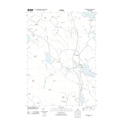 2012 Sanbornville2012 Print · USGSCovers Brookfield, including Wakefield, Milton, and other nearby areas
 - 2012 Map of Ossipee, 2012 Print
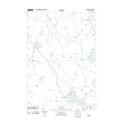 2012 Ossipee2012 Print · USGSCovers Brookfield, including Wakefield, Ossipee, and other nearby areas
 - 2012 Map of Wolfeboro, 2012 Print
 2012 Wolfeboro2012 Print · USGSCovers Brookfield, including Wolfeboro, New Durham, and other nearby areas
 - 2015 Map of Wolfeboro, 2015 Print
 2015 Wolfeboro2015 Print · USGSCovers Brookfield, including Wolfeboro, New Durham, and other nearby areas
 - 2015 Map of Ossipee, 2015 Print
 2015 Ossipee2015 Print · USGSCovers Brookfield, including Wakefield, Ossipee, and other nearby areas
 - 2015 Map of Sanbornville, 2015 Print
 2015 Sanbornville2015 Print · USGSCovers Brookfield, including Wakefield, Milton, and other nearby areas
 - 2018 Map of Sanbornville, 2018 Print
 2018 Sanbornville2018 Print · USGSCovers Brookfield, including Wakefield, Milton, and other nearby areas
 - 2018 Map of Ossipee, 2018 Print
 2018 Ossipee2018 Print · USGSCovers Brookfield, including Wakefield, Ossipee, and other nearby areas
 - 2018 Map of Wolfeboro, 2018 Print
 2018 Wolfeboro2018 Print · USGSCovers Brookfield, including Wolfeboro, New Durham, and other nearby areas
 - 2021 Map of Wolfeboro, 2021 Print
 2021 Wolfeboro2021 Print · USGSCovers Brookfield, including Wolfeboro, New Durham, and other nearby areas
 - 2021 Map of Sanbornville, 2021 Print
 2021 Sanbornville2021 Print · USGSCovers Brookfield, including Wakefield, Milton, and other nearby areas
 - 2021 Map of Ossipee, 2021 Print
 2021 Ossipee2021 Print · USGSCovers Brookfield, including Wakefield, Ossipee, and other nearby areas
 - 2024 Map of Sanbornville, 2024 Print
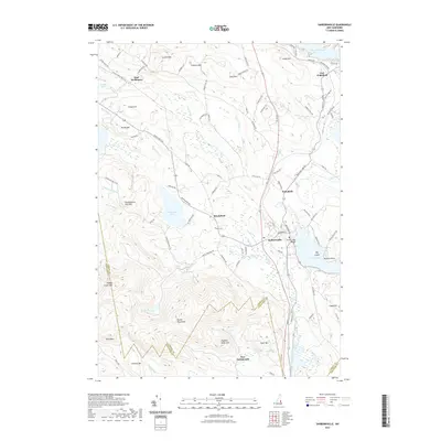
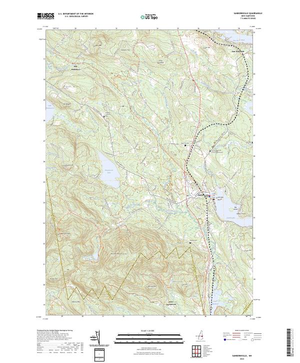 2024 Sanbornville2024 Print · USGSCarroll County's lakes and highlands are documented in this recent survey, showcasing the enduring settlement patterns around Sanbornville. Researchers can trace old family cemetery sites like Gage Hill Cem and the former rail path of the Inactive RR Trl.
Showing maps 1-25 of 27
Top cities near Brookfield
- Rochester historical maps
- Sanford historical maps
- Berwick historical maps
- Farmington historical maps
- Lebanon historical maps
- Wakefield historical maps
See more
Frequently asked questions
- What are the different types of historical maps available for Brookfield?
- What is the oldest map of Brookfield?
- Where can I purchase historical maps of Brookfield for my home or office?
- Where can I download high-res historical maps of Brookfield?
- Are there historical topographic maps available for Brookfield?
- Is there historical aerial imagery available for Brookfield?
- Where are historical maps of Brookfield sourced from?