Old Maps of Second College Grant, New Hampshire
Explore 36 old maps of Second College Grant, spanning from 1930 to today. These high-resolution historic maps reveal how streets, neighborhoods, landmarks, and natural features evolved over time — perfect for genealogy, metal detecting, research, and local history exploration.
What you can do with these maps:
- See how Second College Grant changed over time: Compare historical maps to modern-day views to trace roads, homesites, rail lines & more.
- View detailed metadata: Each map includes creators, publishers, year, scale, and archive source.
- Overlay maps with satellite & LiDAR: Visualize the past alongside modern tools to explore terrain & human change.
- Trusted historical sources: Maps sourced from the USGS, Library of Congress, and other archives.
- Access maps your way: View online, download high-res files, or order prints for personal or research use.
Start exploring old maps of Second College Grant to uncover forgotten places, hidden landmarks, and the deep history beneath your feet.
Second College Grant, NH maps
(36)- 1930 Map of Errol, 1955 Print
 1930 Errol1955 Print · USGSThe timberlands along the New Hampshire and Maine border come alive in the 1930s, centered on the river networks that fueled the region. Genealogists and historians can trace remote outposts like Wilsons Mills, the Magalloway Sch, and industrial markers like Errol Dam.5 unique versions available
 - 1934 Map of Errol
 1934 Errol1934 Print · USGSThe Maine-New Hampshire borderlands in the 1930s reveal a landscape of vast timber grants and river-driven settlements. Genealogists and historians can trace the remote Wentworths Location and find landmarks like the Magalloway Sch and College Farm.5 unique versions available
 - 1950 Map of Lewiston
 1950 Lewiston1950 Print · USGSThe Maine and New Hampshire borderlands come alive in this post-war survey of the White Mountains and Androscoggin valley. Genealogists and historians can trace rail lines like the Maine Central Railroad and find high-altitude landmarks from Mount Washington to Bretton Woods.2 unique versions available
 - 1956 Map of Lewiston, 1975 Print
 1956 Lewiston1975 Print · USGSThe Northern New England interior is documented here in the mid-fifties, from the industrial Androscoggin River to the high peaks of the White Mountains. Trace the Grand Trunk Railway through mountain passes or locate family landmarks near Sabbathday Lake and Bretton Woods.
 - 1961 Map of Lewiston
 1961 Lewiston1961 Print · USGSWestern Maine and the White Mountains appear here during the early sixties, showing the industrial river towns and vast timberlands before the modern interstate era. Genealogists and historians can trace the Grand Trunk RR through Berlin or locate landmarks like Old Speck Mountain and Elephant Mountain.
 - 1962 Map of Lewiston
 1962 Lewiston1962 Print · USGSThe industrial river valleys and high peaks of Maine and New Hampshire define the region in the early sixties. Trace the rail-and-river network from Lewiston to the White Mountains, passing through mill towns like Berlin and Rumford.
 - 1969 Map of Lewiston
 1969 Lewiston1969 Print · USGSThe northern New England highlands come into focus during the mid-fifties, showing the vital rail and river networks connecting industrial centers to the deep woods. Researchers can trace the path of the Grand Trunk RR or locate landmarks like Mt Washington and Rangeley Lake.
 - 1976 Map of Umbagog Lake North, 1983 Print
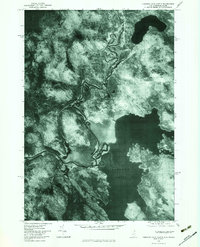 1976 Umbagog Lake North1983 Print · USGSThe northern reaches of Umbagog Lake and the unincorporated lands of Coos County are captured here in the mid-1970s. Researchers can trace the sinuous path of the Magalloway River as it meets Wentworths Location and Sturtevant Pond.
 - 1977 Map of Wilsons Mills, 1983 Print
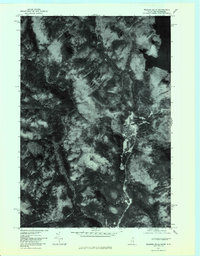 1977 Wilsons Mills1983 Print · USGSNorthern Maine and New Hampshire come into focus in the late 1970s, showcasing the timberlands and river valleys of the border region. Researchers can trace the winding Magalloway River and the small outpost at Wilsons Mills near the shores of Aziscohos Lake.
 - 1986 Map of Groveton
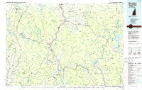 1986 Groveton1986 Print · USGSThe North Country's rugged borderlands come into focus in the mid-1980s, tracing the river-and-rail corridors of the Connecticut River valley. Genealogists and historians can locate family landmarks in North Stratford, Groveton, and Guildhall or trace the Canadian National RR.2 unique versions available
 - 1988 Map of Errol
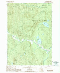 1988 Errol1988 Print · USGSThe northern New Hampshire woods and the town of Errol are captured in the late eighties as the region balanced its timber heritage with conservation. Genealogists and researchers can trace township lines across Rice Mountain or locate family landmarks like Akers Pond and the Signal Tower atop Signal Mountain.
 - 1988 Map of Umbagog Lake North
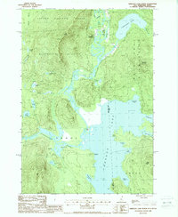 1988 Umbagog Lake North1988 Print · USGSThe wilderness border between New Hampshire and Maine comes into focus in the late 1980s, centered on the expansive waters of Umbagog Lake. Researchers can trace the junction of the Magalloway River and Androscoggin River or locate the remote settlement of Wentworth Location.
 - 1989 Map of Mount Pisgah
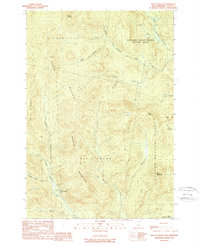 1989 Mount Pisgah1989 Print · USGSNorthern New Hampshire's high timberlands and historic school land grants are meticulously detailed in this late-century survey. You can trace the remote drainage of the Dead Diamond River and locate the isolated Swift Diamond Farm near the foot of Crystal Mountain.2 unique versions available
 - 1989 Map of Wilsons Mills
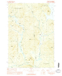 1989 Wilsons Mills1989 Print · USGSThe northern borderlands of Maine and New Hampshire come into focus in the late 1980s, showcasing large academy grants and the Magalloway River corridor. Researchers can trace the layout of Wilsons Mills, locate the Miller-Quinn Landing Strip, and find landmarks like the Covered Br and College Farm.2 unique versions available
 - 1995 Map of Errol
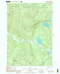 1995 Errol1995 Print · USGSNorthwoods life in Coos County during the 1990s centers on the village of Errol and the wild river corridors of the Androscoggin River. Trace the boundaries of historic land grants or locate remote landmarks like Ellingwood Falls and Signal Mountain.2 unique versions available
 - 1995 Map of Umbagog Lake North, 2000 Print
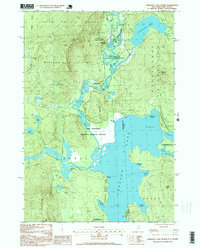 1995 Umbagog Lake North2000 Print · USGSThe northern reaches of the New Hampshire and Maine border are preserved here in the mid-nineties, showing a landscape defined by timber grants and vast water networks. Researchers can trace the early footprints of Wentworth Location and Errol or locate family-named features like Sturtevant Mountain and Mt Dustan.
 - 2011 Map of Wilsons Mills, 2011 Print
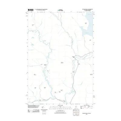 2011 Wilsons Mills2011 Print · USGSMagalloway Plantation remains a corner of Oxford County where the forest meets the river in the early twenty-first century. Researchers can trace the legacy of the local river-and-road network through Wilsons Mills, the Wilsons Mills Post Office, and the Bennett Bridge.
 - 2012 Map of Mount Pisgah, 2012 Print
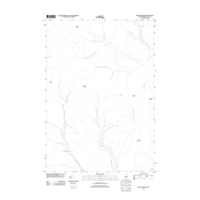 2012 Mount Pisgah2012 Print · USGSThe northern Coos County wilderness comes into focus in this modern survey of the Diamond River headwaters. Trace the remote drainage systems of the Swift Diamond River and find landmarks like Swift Diamond Farm and Crystal Mountain amidst the timberlands.
 - 2012 Map of Errol, 2012 Print
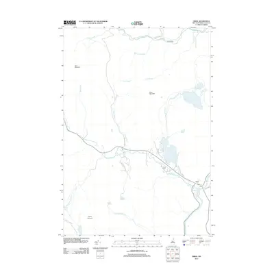 2012 Errol2012 Print · USGSThe northern New Hampshire town of Errol and its river-bound landscape are documented here in the early twenty-first century. Genealogists and researchers can trace the reach of the Androscoggin River or locate landmarks like Palmers Cabin and Akers Pond.
 - 2012 Map of Umbagog Lake North, 2012 Print
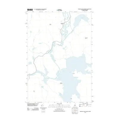 2012 Umbagog Lake North2012 Print · USGSThe northern reaches of the New Hampshire wilderness are captured here in the early twenty-first century, centered on the Wentworth Location backcountry. Researchers can map the winding Magalloway River and identify local landmarks like Molls Rock and Sturtevant Mountain.
 - 2014 Map of Wilsons Mills, 2014 Print
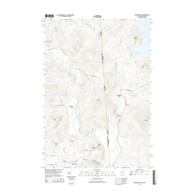 2014 Wilsons Mills2014 Print · USGSMagalloway Plantation at the Maine-New Hampshire border is a landscape shaped by river systems and remote peaks. Researchers can locate the Lincoln Plantation Cem, trace the winding Dead Diamond River, and find specific landmarks like Bennett Bridge.
 - 2015 Map of Mount Pisgah, 2015 Print
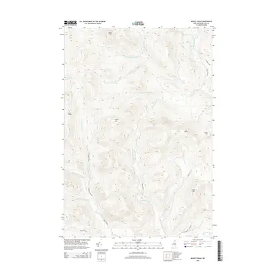 2015 Mount Pisgah2015 Print · USGSThe high peaks of Coos County are captured here during the mid-2010s, showcasing a landscape of dense forests and mountain summits. Trace the rugged terrain of Mount Pisgah and the headwaters of the Swift Diamond River along routes like Corser Brook Rd.
 - 2015 Map of Umbagog Lake North, 2015 Print
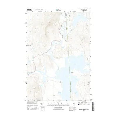 2015 Umbagog Lake North2015 Print · USGSThe Maine and New Hampshire borderlands come alive in this recent survey of the North Country's lake systems. Genealogists and hikers can trace the geography around Wentworth Location, the Magalloway Church Cem, and peaks like Mt Dustan.
 - 2015 Map of Errol, 2015 Print
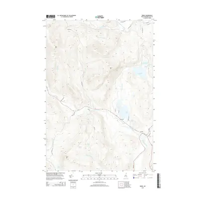 2015 Errol2015 Print · USGSNorthern New Hampshire's high country and river valleys are captured here in the mid-2010s as they surround the crossroads of Errol. Researchers can trace the path of the Androscoggin River, locate family-named landmarks like Ellingwood Falls, and explore the roads leading to Akers Pond.
 - 2018 Map of Mount Pisgah, 2018 Print
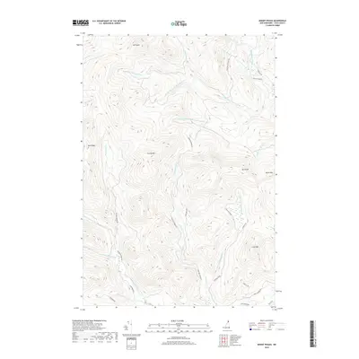 2018 Mount Pisgah2018 Print · USGSCoos County’s high timberlands are charted here in the late twenty-teens, showing a landscape shaped by water and woods. Geographers and outdoorsmen can trace the logging road networks like Greenough Pond Rd and the many forks of the Dead Diamond River.
Showing maps 1-25 of 36
Top cities near Second College Grant
- Colebrook historical maps
- Stewartstown historical maps
- Pittsburg historical maps
- Dummer historical maps
- Errol historical maps
- Clarksville historical maps
See more
Frequently asked questions
- What are the different types of historical maps available for Second College Grant?
- What is the oldest map of Second College Grant?
- Where can I purchase historical maps of Second College Grant for my home or office?
- Where can I download high-res historical maps of Second College Grant?
- Are there historical topographic maps available for Second College Grant?
- Is there historical aerial imagery available for Second College Grant?
- Where are historical maps of Second College Grant sourced from?