2020s Maps of Merrimack, New Hampshire
Explore 8 historic maps of Merrimack from the 2020s. These maps offer a rare glimpse into what life looked like during the 2020s — showing old roads, neighborhoods, homes, and landmarks that have changed or disappeared over time.
Whether you're researching your family's past, planning a metal detecting trip, or studying how Merrimack's landscape evolved across the 2020s, these high-resolution maps are a powerful tool for exploring the history of this region.
- Focus on a specific era: All maps on this page are from the 2020s, giving you a focused view of this time period.
- See what’s changed: Compare century-old streets, trails, and buildings to today's modern landscape using overlays and satellite layers.
- Research with precision: Use these maps for genealogy, historical research, land use analysis, or educational projects.
- View, download, or print: Maps are fully viewable online in high resolution, and can be downloaded or printed for your own records.
Start exploring Merrimack's history through authentic maps from the 2020s. This is your window into the past.
Merrimack, NH maps
(8)- 2021 Map of South Merrimack, 2021 Print
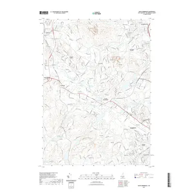 2021 South Merrimack2021 Print · USGSCovers Merrimack, including Nashua, Milford, and other nearby areas
 - 2021 Map of Pinardville, 2021 Print
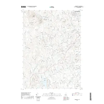 2021 Pinardville2021 Print · USGSCovers Merrimack, including Manchester, Bedford, and other nearby areas
 - 2021 Map of Manchester South, 2021 Print
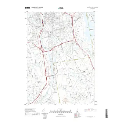 2021 Manchester South2021 Print · USGSCovers Merrimack, including Manchester, Londonderry, and other nearby areas
 - 2021 Map of Nashua North, 2021 Print
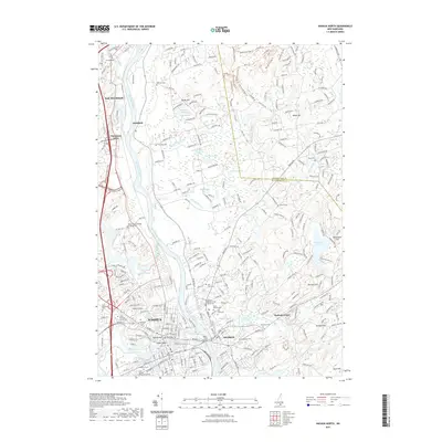 2021 Nashua North2021 Print · USGSCovers Merrimack, including Nashua, Londonderry, and other nearby areas
 - 2024 Map of South Merrimack, 2024 Print
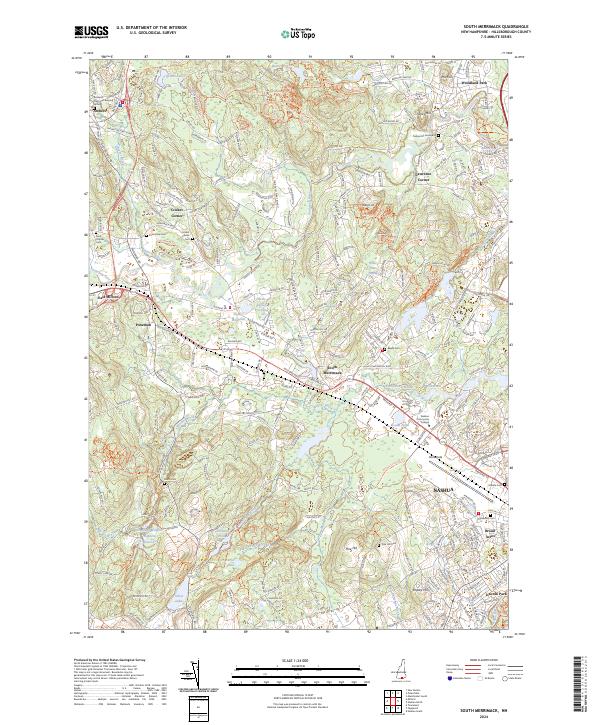 2024 South Merrimack2024 Print · USGSSouthern New Hampshire's transition from colonial crossroads to modern suburbs is captured here in the vicinity of Amherst and Nashua. Genealogists can trace local lineages through sites like the Amherst Town Hall Burying Ground and Cricket Corner Cem.
 - 2024 Map of Pinardville, 2024 Print
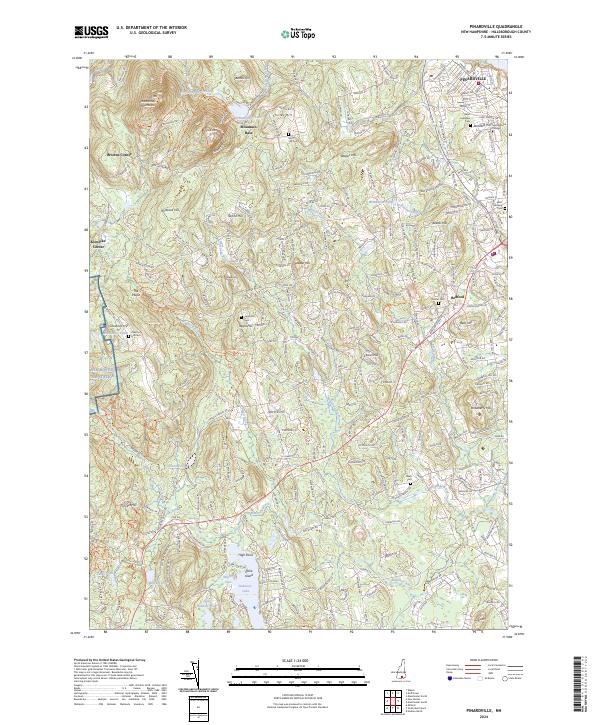 2024 Pinardville2024 Print · USGSHillsborough County in the contemporary era reveals a mix of academic centers, military footprints, and historic burial grounds. Genealogists and historians can trace local roots through sites like Saint Hedwig Cem, Saint Anselm College, and the shores of Baboosic Lake.
 - 2024 Map of Manchester South, 2024 Print
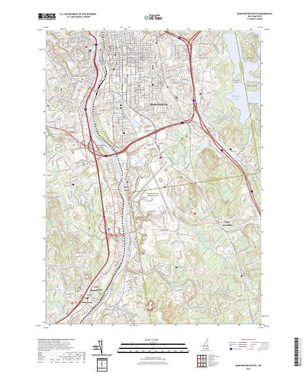 2024 Manchester South2024 Print · USGSThe riverfront communities south of Manchester come to life in this contemporary survey of the Hillsborough and Rockingham county line. Researchers can trace the heritage of old burial grounds like Goffs Falls Cem and the Reeds Ferry Graveyard or explore the conversion of rail corridors like the Rockingham Rec Rail-Trl.
 - 2024 Map of Nashua North, 2024 Print
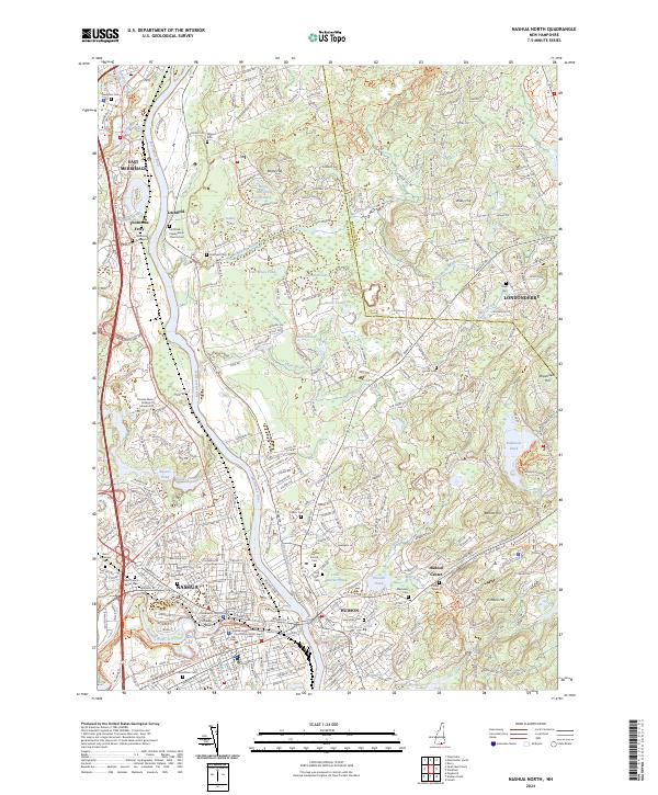 2024 Nashua North2024 Print · USGSThe Merrimack River valley in the early 2020s shows a landscape of deep-rooted settlements and modern civic growth. Genealogists and historians can trace family sites at Thornton Graveyard or explore the transit history of the Nashua Heritage Rail Trail.
End of results
Showing maps 1-8 of 8
Top cities near Merrimack
- Manchester historical maps
- Lowell historical maps
- Nashua historical maps
- Derry historical maps
- Chelmsford historical maps
- Dracut historical maps
See more
Top neighborhoods of Merrimack
- South Merrimack historical maps
- Thorntons Ferry historical maps
- Reeds Ferry historical maps
- East Merrimack historical maps
- Woodland Park historical maps
- Lawrence Corner historical maps
Frequently asked questions
- What are the different types of historical maps available for Merrimack?
- What is the oldest map of Merrimack?
- Where can I purchase historical maps of Merrimack for my home or office?
- Where can I download high-res historical maps of Merrimack?
- Are there historical topographic maps available for Merrimack?
- Is there historical aerial imagery available for Merrimack?
- Where are historical maps of Merrimack sourced from?