2000s (21st Century) Maps of Acworth, New Hampshire
Explore 20 historic maps of Acworth from the 2000s (21st Century). These maps offer a rare glimpse into what life looked like during the 2000s — showing old roads, neighborhoods, homes, and landmarks that have changed or disappeared over time.
Whether you're researching your family's past, planning a metal detecting trip, or studying how Acworth's landscape evolved across the 2000s, these high-resolution maps are a powerful tool for exploring the history of this region.
- Focus on a specific era: All maps on this page are from the 2000s, giving you a focused view of this time period.
- See what’s changed: Compare century-old streets, trails, and buildings to today's modern landscape using overlays and satellite layers.
- Research with precision: Use these maps for genealogy, historical research, land use analysis, or educational projects.
- View, download, or print: Maps are fully viewable online in high resolution, and can be downloaded or printed for your own records.
Start exploring Acworth's history through authentic maps from the 2000s. This is your window into the past.
Acworth, NH maps
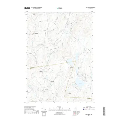
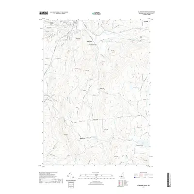
(20)- 2012 Map of Claremont South, 2012 Print
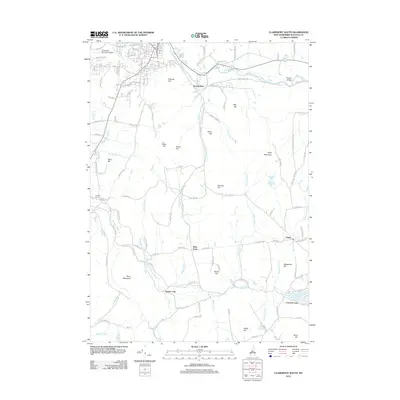 2012 Claremont South2012 Print · USGSCovers Acworth, including Claremont, Newport, and other nearby areas
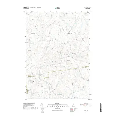
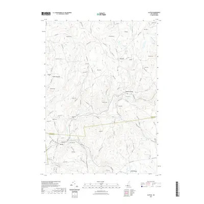
 - 2012 Map of Alstead, 2012 Print
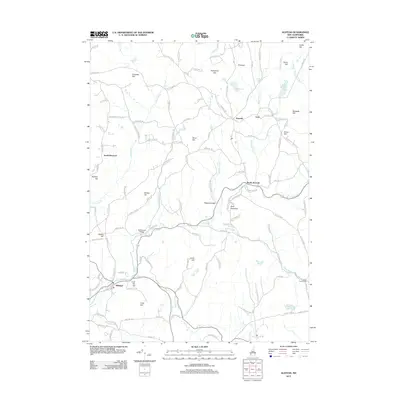 2012 Alstead2012 Print · USGSCovers Acworth, including Walpole, Alstead, and other nearby areas
 - 2012 Map of Newport, 2012 Print
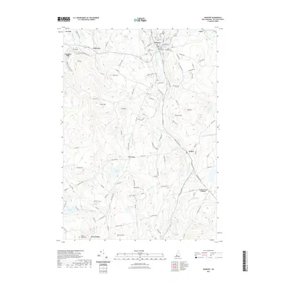
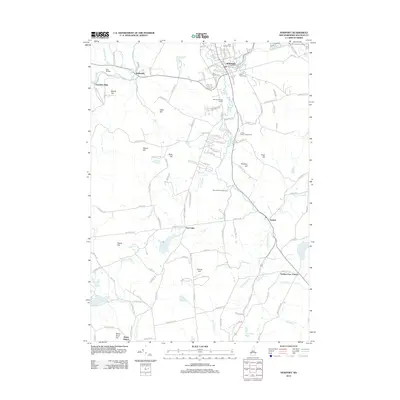 2012 Newport2012 Print · USGSCovers Acworth, including Newport, Sunapee, and other nearby areas
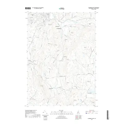
 - 2012 Map of East Lempster, 2012 Print
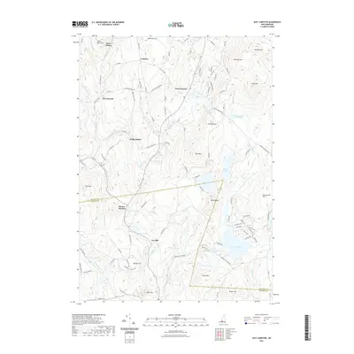
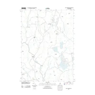 2012 East Lempster2012 Print · USGSCovers Acworth, including Stoddard, Washington, and other nearby areas
 - 2015 Map of Newport, 2015 Print
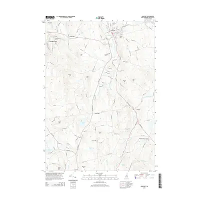 2015 Newport2015 Print · USGSCovers Acworth, including Newport, Sunapee, and other nearby areas
 - 2015 Map of Claremont South, 2015 Print
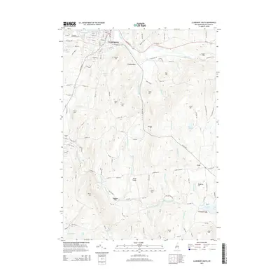 2015 Claremont South2015 Print · USGSCovers Acworth, including Claremont, Newport, and other nearby areas
 - 2015 Map of East Lempster, 2015 Print
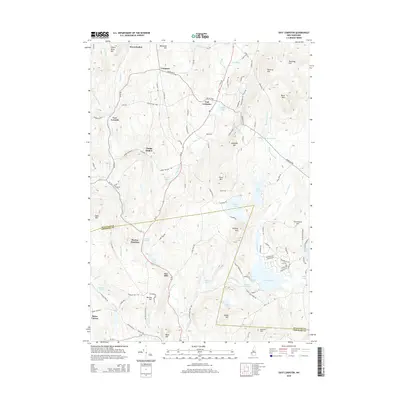 2015 East Lempster2015 Print · USGSCovers Acworth, including Stoddard, Washington, and other nearby areas
 - 2015 Map of Alstead, 2015 Print
 2015 Alstead2015 Print · USGSCovers Acworth, including Walpole, Alstead, and other nearby areas
 - 2018 Map of Newport, 2018 Print
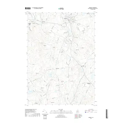 2018 Newport2018 Print · USGSCovers Acworth, including Newport, Sunapee, and other nearby areas
 - 2018 Map of East Lempster, 2018 Print
 2018 East Lempster2018 Print · USGSCovers Acworth, including Stoddard, Washington, and other nearby areas
 - 2018 Map of Claremont South, 2018 Print
 2018 Claremont South2018 Print · USGSCovers Acworth, including Claremont, Newport, and other nearby areas
 - 2018 Map of Alstead, 2018 Print
 2018 Alstead2018 Print · USGSCovers Acworth, including Walpole, Alstead, and other nearby areas
 - 2021 Map of Alstead, 2021 Print
 2021 Alstead2021 Print · USGSCovers Acworth, including Walpole, Alstead, and other nearby areas
 - 2021 Map of Newport, 2021 Print
 2021 Newport2021 Print · USGSCovers Acworth, including Newport, Sunapee, and other nearby areas
 - 2021 Map of Claremont South, 2021 Print
 2021 Claremont South2021 Print · USGSCovers Acworth, including Claremont, Newport, and other nearby areas
 - 2021 Map of East Lempster, 2021 Print
 2021 East Lempster2021 Print · USGSCovers Acworth, including Stoddard, Washington, and other nearby areas
 - 2024 Map of Alstead, 2024 Print
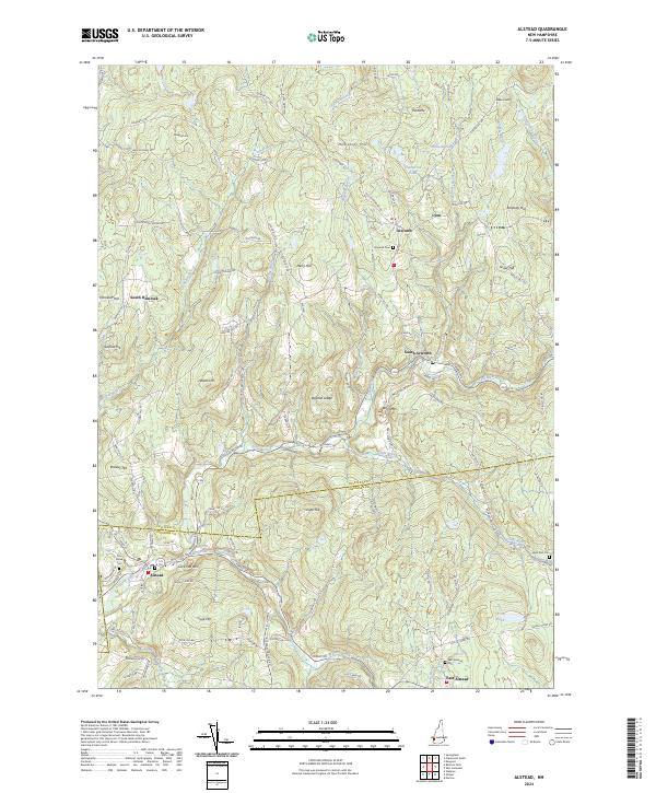 2024 Alstead2024 Print · USGSSullivan County upland life is preserved here, showing a landscape of high ridges and river-valley hamlets. Genealogists and hikers can trace old family names and routes through South Acworth, Acworth Cem, and the prominent heights of Beryl Mtn.
 - 2024 Map of Claremont South, 2024 Print
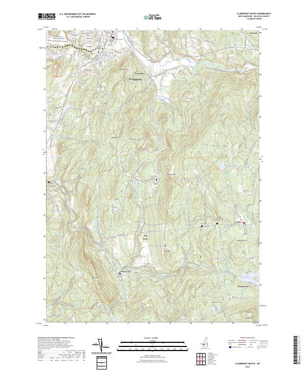 2024 Claremont South2024 Print · USGSSullivan County's rural uplands and the southern outskirts of Claremont are documented here in recent years. Genealogists can trace family landmarks and burial sites like Quaker City Cem or explore the hills around West Unity and Puckershire.
 - 2024 Map of Newport, 2024 Print
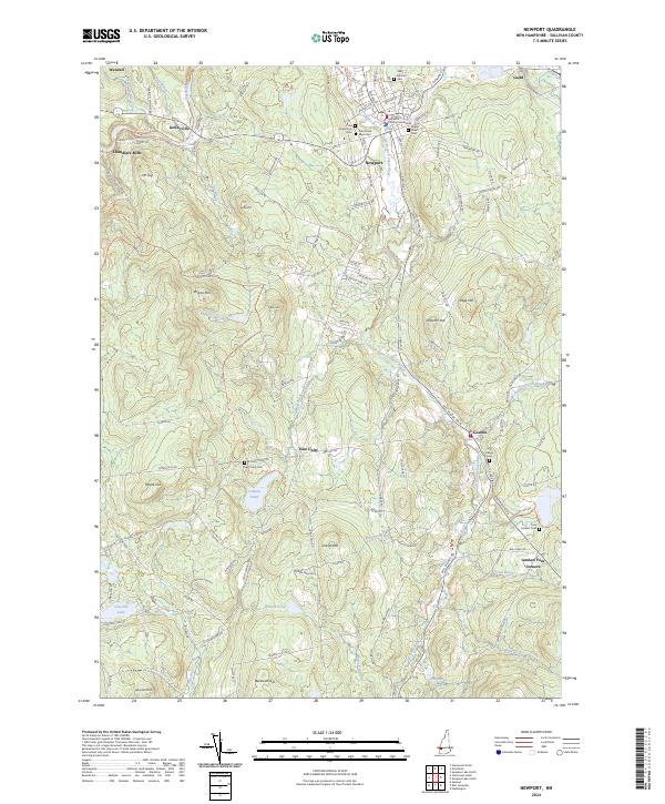 2024 Newport2024 Print · USGSSullivan County in the 2020s remains a landscape of river-valley villages and prominent hills. Researchers can trace local history through sites like the Sullivan County Courthouse and numerous burial grounds including Saint Patricks Cem and Four Corners Cem.
 - 2024 Map of East Lempster, 2024 Print
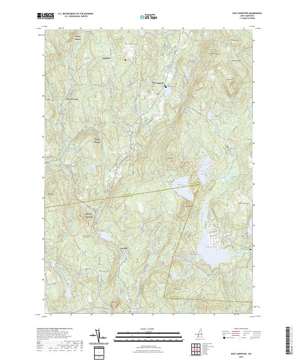 2024 East Lempster2024 Print · USGSSullivan and Cheshire counties meet in this upland region during the 2020s, showing a landscape of high peaks and historic hollows. Genealogists and hikers can locate the East Lempster Cem, the old crossroads at Marlow Junction, and the waters of Ashuelot Pond.
End of results
Showing maps 1-20 of 20
Top cities near Acworth
- Keene historical maps
- Claremont historical maps
- Brockways Mills historical maps
- Newport historical maps
- Springfield historical maps
- Walpole historical maps
See more
Top neighborhoods of Acworth
- East Acworth historical maps
- Lynn historical maps
- Crescent Lake historical maps
- South Acworth historical maps
Frequently asked questions
- What are the different types of historical maps available for Acworth?
- What is the oldest map of Acworth?
- Where can I purchase historical maps of Acworth for my home or office?
- Where can I download high-res historical maps of Acworth?
- Are there historical topographic maps available for Acworth?
- Is there historical aerial imagery available for Acworth?
- Where are historical maps of Acworth sourced from?