Old Maps of Penny Point Park Apartments, Egg Harbor Township for Hiking & Exploration
Hike through history with 17 historic maps of Penny Point Park Apartments. Explore old trails, ghost towns, and forgotten backroads — perfect for outdoor adventurers and local explorers.
- Rediscover forgotten places: Map out old mining camps, roads, and footpaths that no longer exist on modern maps.
- Layer with modern tools: Combine with LiDAR or satellite views to plan hikes through historical terrain.
- Made for exploration: Popular among hikers, overlanders, and local history lovers.
Use these maps to find adventure and explore the hidden past of Penny Point Park Apartments.
Penny Point Park Apartments, Egg Harbor Township maps
(17)- 1890 Map of Great Egg Harbor
 1890 Great Egg Harbor1890 Print · USGSCovers Penny Point Park Apartments, including Egg Harbor Township, Atlantic City, and other nearby areas
 - 1893 Map of Great Egg Harbor
 1893 Great Egg Harbor1893 Print · USGSCovers Penny Point Park Apartments, including Egg Harbor Township, Atlantic City, and other nearby areas5 unique versions available
 - 1918 Map of Great Egg Harbor, 1921 Print
 1918 Great Egg Harbor1921 Print · USGSCovers Penny Point Park Apartments, including Egg Harbor Township, Atlantic City, and other nearby areas
 - 1942 Map of Pleasantville
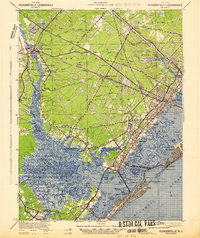 1942 Pleasantville1942 Print · USGSCovers Penny Point Park Apartments, including Egg Harbor Township, Atlantic City, and other nearby areas2 unique versions available
 - 1943 Map of Pleasantville
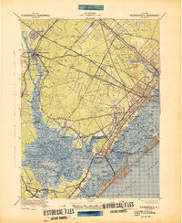 1943 Pleasantville1943 Print · USGSCovers Penny Point Park Apartments, including Egg Harbor Township, Atlantic City, and other nearby areas
 - 1946 Map of Wilmington, 1948 Print
 1946 Wilmington1948 Print · USGSThe Delaware Valley and Jersey Shore emerge in this mid-century portrait of a region defined by river commerce and seaside growth. Genealogists and historians can trace the rail networks of the Pennsylvania Railroad, locate early airfields like Dover Airpark, and find river defenses at Fort Delaware.2 unique versions available
 - 1948 Map of Pleasantville
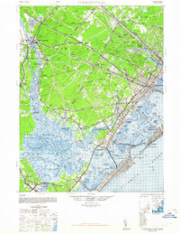 1948 Pleasantville1948 Print · USGSCovers Penny Point Park Apartments, including Egg Harbor Township, Atlantic City, and other nearby areas2 unique versions available
 - 1952 Map of Pleasantville, 1955 Print
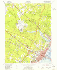 1952 Pleasantville1955 Print · USGSCovers Penny Point Park Apartments, including Egg Harbor Township, Galloway Township, and other nearby areas3 unique versions available
 - 1955 Map of Wilmington
 1955 Wilmington1955 Print · USGSThe Delaware Valley and Jersey Shore are seen here during the mid-fifties era of rapid suburban expansion and highway development. You can trace the path of the New Jersey Turnpike, locate the Fort Dix Military Reservation, or explore the rail networks of the Pennsylvania Railroad.
 - 1957 Map of Wilmington
 1957 Wilmington1957 Print · USGSThe mid-Atlantic coastal plain comes alive in the mid-fifties as the New Jersey Turnpike and Garden State Parkway redefine travel. Researchers can trace the rail-to-road transition and find landmarks like Ship John Shoal Light and the Fort Dix Military Reservation.2 unique versions available
 - 1959 Map of Wilmington
 1959 Wilmington1959 Print · USGSThe Delaware Valley and Jersey Shore are seen here in the late fifties, during a period of massive suburban and highway expansion. Researchers can trace mid-century infrastructure like the N J Turnpike or locate coastal landmarks from Barnegat Bay to the Maurice River.3 unique versions available
 - 1966 Map of Wilmington, 1968 Print
 1966 Wilmington1968 Print · USGSThe Delaware Valley and Jersey Shore are seen here in the mid-1960s, documenting a landscape of dense industrial cities and emerging coastal resorts. Researchers can trace the sprawling rail networks of the Pennsylvania Railroad or locate landmarks like Fort Dix Military Reservation and Elk Neck State Park.4 unique versions available
 - 1972 Map of Wilmington, 1976 Print
 1972 Wilmington1976 Print · USGSThe Delaware Valley and Jersey Shore are seen here in the 1970s, showcasing the region's dense transport networks and vast state forests. Trace early coastal development near Atlantic City or locate rural landmarks like Mount Holly and Dover Air Force Base.2 unique versions available
 - 1984 Map of Atlantic City, 1985 Print
 1984 Atlantic City1985 Print · USGSCovers Penny Point Park Apartments, including Vineland, Egg Harbor Township, and other nearby areas
 - 1989 Map of Pleasantville
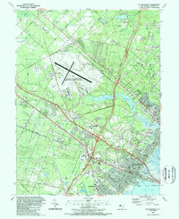 1989 Pleasantville1989 Print · USGSCovers Penny Point Park Apartments, including Egg Harbor Township, Galloway Township, and other nearby areas
 - 1994 Map of Pleasantville, 1998 Print
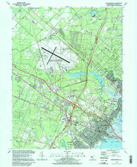 1994 Pleasantville1998 Print · USGSCovers Penny Point Park Apartments, including Egg Harbor Township, Galloway Township, and other nearby areas
 - 2023 Map of Pleasantville, 2023 Print
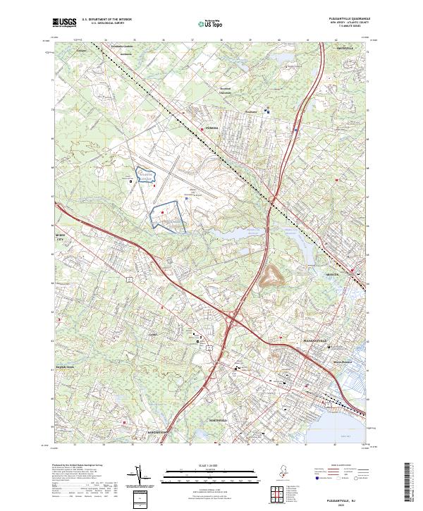 2023 Pleasantville2023 Print · USGSCovers Penny Point Park Apartments, including Egg Harbor Township, Galloway Township, and other nearby areas
End of results
Showing maps 1-17 of 17
Frequently asked questions
- What are the different types of historical maps available for Penny Point Park Apartments?
- What is the oldest map of Penny Point Park Apartments?
- Where can I purchase historical maps of Penny Point Park Apartments for my home or office?
- Where can I download high-res historical maps of Penny Point Park Apartments?
- Are there historical topographic maps available for Penny Point Park Apartments?
- Is there historical aerial imagery available for Penny Point Park Apartments?
- Where are historical maps of Penny Point Park Apartments sourced from?