2000s (21st Century) Maps of Stone Harbor, New Jersey
Explore 10 historic maps of Stone Harbor from the 2000s (21st Century). These maps offer a rare glimpse into what life looked like during the 2000s — showing old roads, neighborhoods, homes, and landmarks that have changed or disappeared over time.
Whether you're researching your family's past, planning a metal detecting trip, or studying how Stone Harbor's landscape evolved across the 2000s, these high-resolution maps are a powerful tool for exploring the history of this region.
- Focus on a specific era: All maps on this page are from the 2000s, giving you a focused view of this time period.
- See what’s changed: Compare century-old streets, trails, and buildings to today's modern landscape using overlays and satellite layers.
- Research with precision: Use these maps for genealogy, historical research, land use analysis, or educational projects.
- View, download, or print: Maps are fully viewable online in high resolution, and can be downloaded or printed for your own records.
Start exploring Stone Harbor's history through authentic maps from the 2000s. This is your window into the past.
Stone Harbor, NJ maps
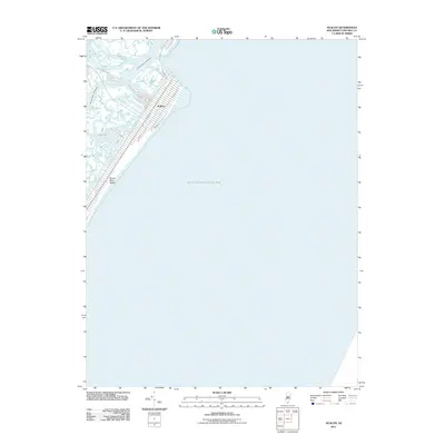
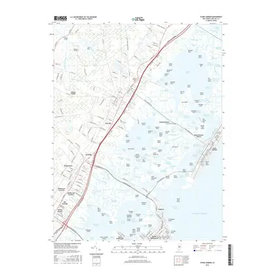
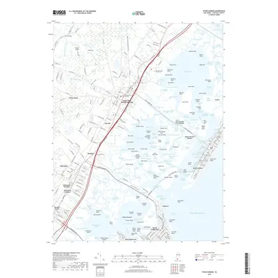
(10)- 2011 Map of Stone Harbor, 2011 Print
 2011 Stone Harbor2011 Print · USGSCovers Stone Harbor, including Lower Township, Middle Township, and other nearby areas
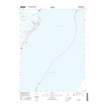
 - 2011 Map of Avalon, 2011 Print
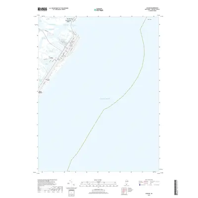
 2011 Avalon2011 Print · USGSCovers Stone Harbor, including Middle Township, Avalon, and other nearby areas
 - 2014 Map of Stone Harbor, 2014 Print
 2014 Stone Harbor2014 Print · USGSCovers Stone Harbor, including Lower Township, Middle Township, and other nearby areas
 - 2014 Map of Avalon, 2014 Print
 2014 Avalon2014 Print · USGSCovers Stone Harbor, including Middle Township, Avalon, and other nearby areas
 - 2016 Map of Stone Harbor, 2016 Print
 2016 Stone Harbor2016 Print · USGSCovers Stone Harbor, including Lower Township, Middle Township, and other nearby areas
 - 2016 Map of Avalon, 2016 Print
 2016 Avalon2016 Print · USGSCovers Stone Harbor, including Middle Township, Avalon, and other nearby areas
 - 2019 Map of Avalon, 2019 Print
 2019 Avalon2019 Print · USGSCovers Stone Harbor, including Middle Township, Avalon, and other nearby areas
 - 2019 Map of Stone Harbor, 2019 Print
 2019 Stone Harbor2019 Print · USGSCovers Stone Harbor, including Lower Township, Middle Township, and other nearby areas
 - 2023 Map of Avalon, 2023 Print
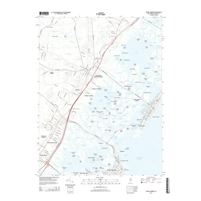
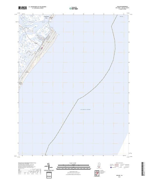 2023 Avalon2023 Print · USGSThe Jersey Shore of the early 2020s is captured here, showing the developed barrier islands and tidal marshes of Cape May County. Researchers can trace the street grids of Avalon and Stone Harbor or navigate the channels of Stites Sound and Cornell Harbor.
 - 2023 Map of Stone Harbor, 2023 Print
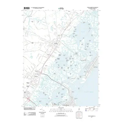
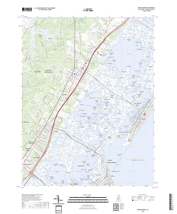 2023 Stone Harbor2023 Print · USGSThe coastal landscapes of Cape May County are mapped here in detail, showing the developed barrier islands and the marshy mainland interior. Trace local lineage at Cape May County Veterans Cem or explore the transit history of Wildwood Junction and Stone Harbor Manor.
End of results
Showing maps 1-10 of 10
Top cities near Stone Harbor
- Lower Township historical maps
- Middle Township historical maps
- Ocean City historical maps
- Upper Township historical maps
- Villas historical maps
- Maurice River Township historical maps
See more
Frequently asked questions
- What are the different types of historical maps available for Stone Harbor?
- What is the oldest map of Stone Harbor?
- Where can I purchase historical maps of Stone Harbor for my home or office?
- Where can I download high-res historical maps of Stone Harbor?
- Are there historical topographic maps available for Stone Harbor?
- Is there historical aerial imagery available for Stone Harbor?
- Where are historical maps of Stone Harbor sourced from?