2020s Maps of Downe Township, New Jersey
Explore 4 historic maps of Downe Township from the 2020s. These maps offer a rare glimpse into what life looked like during the 2020s — showing old roads, neighborhoods, homes, and landmarks that have changed or disappeared over time.
Whether you're researching your family's past, planning a metal detecting trip, or studying how Downe Township's landscape evolved across the 2020s, these high-resolution maps are a powerful tool for exploring the history of this region.
- Focus on a specific era: All maps on this page are from the 2020s, giving you a focused view of this time period.
- See what’s changed: Compare century-old streets, trails, and buildings to today's modern landscape using overlays and satellite layers.
- Research with precision: Use these maps for genealogy, historical research, land use analysis, or educational projects.
- View, download, or print: Maps are fully viewable online in high resolution, and can be downloaded or printed for your own records.
Start exploring Downe Township's history through authentic maps from the 2020s. This is your window into the past.
Downe Township, NJ maps
(4)- 2023 Map of Port Norris, 2023 Print
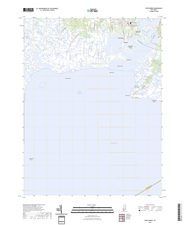 2023 Port Norris2023 Print · USGSCumberland County's historic oyster-industry hubs appear in detail along the shores of the Maurice River in the early 21st century. Researchers can trace local lineage and maritime roots through landmarks like the GAR Cemetery, the waterfront at Bivalve, and the roads leading to Thompsons Beach.
 - 2023 Map of Fortescue, 2023 Print
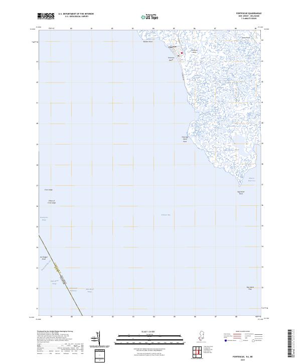 2023 Fortescue2023 Print · USGSThe marshes of Cumberland County meet the Delaware Bay in this modern survey of the bayside village of Fortescue. Local historians can trace the tidal reaches of Oranoaken Creek or find maritime landmarks like Egg Island Point and Joe Flogger Shoal.
 - 2023 Map of Cedarville, 2023 Print
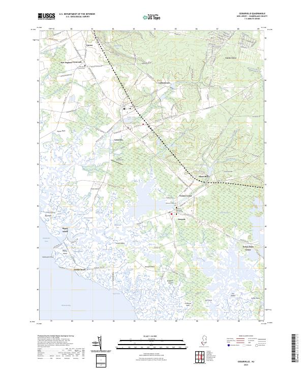 2023 Cedarville2023 Print · USGSCumberland County’s coastal marshes and inland crossroads are captured here in the early twenty-first century. Genealogists and local historians can locate several historic burial sites, including Old Stone Church Cem and Bateman Memorial Cem, alongside landmarks like Dave's Aerodrome.
 - 2023 Map of Dividing Creek, 2023 Print
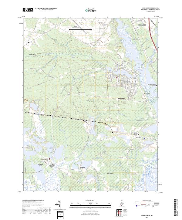 2023 Dividing Creek2023 Print · USGSCumberland County’s riverfront and marshlands are captured in this modern survey of the lower Maurice River valley. Researchers can trace ancestral locations at the Dividing Creek Baptist Cem, Lores Mill, and the early settlement at Port Norris.
End of results
Showing maps 1-4 of 4
Top cities near Downe Township
- Vineland historical maps
- Millville historical maps
- Bridgeton historical maps
- Middle Township historical maps
- Maurice River Township historical maps
- Buena Vista Township historical maps
See more
Top neighborhoods of Downe Township
- Watsons Corner historical maps
- Baileytown historical maps
- Dividing Creek historical maps
- Dragston historical maps
- Paynters Crossing historical maps
- Gandys Beach historical maps
See more
Frequently asked questions
- What are the different types of historical maps available for Downe Township?
- What is the oldest map of Downe Township?
- Where can I purchase historical maps of Downe Township for my home or office?
- Where can I download high-res historical maps of Downe Township?
- Are there historical topographic maps available for Downe Township?
- Is there historical aerial imagery available for Downe Township?
- Where are historical maps of Downe Township sourced from?