2000s (21st Century) Maps of Upper Freehold Township, New Jersey
Explore 20 historic maps of Upper Freehold Township from the 2000s (21st Century). These maps offer a rare glimpse into what life looked like during the 2000s — showing old roads, neighborhoods, homes, and landmarks that have changed or disappeared over time.
Whether you're researching your family's past, planning a metal detecting trip, or studying how Upper Freehold Township's landscape evolved across the 2000s, these high-resolution maps are a powerful tool for exploring the history of this region.
- Focus on a specific era: All maps on this page are from the 2000s, giving you a focused view of this time period.
- See what’s changed: Compare century-old streets, trails, and buildings to today's modern landscape using overlays and satellite layers.
- Research with precision: Use these maps for genealogy, historical research, land use analysis, or educational projects.
- View, download, or print: Maps are fully viewable online in high resolution, and can be downloaded or printed for your own records.
Start exploring Upper Freehold Township's history through authentic maps from the 2000s. This is your window into the past.
Upper Freehold Township, NJ maps
(20)- 2011 Map of Roosevelt, 2011 Print
 2011 Roosevelt2011 Print · USGSCovers Upper Freehold Township, including Jackson Township, Manalapan Township, and other nearby areas
 - 2011 Map of Cassville, 2011 Print
 2011 Cassville2011 Print · USGSCovers Upper Freehold Township, including Jackson Township, Manchester Township, and other nearby areas
 - 2011 Map of New Egypt, 2011 Print
 2011 New Egypt2011 Print · USGSCovers Upper Freehold Township, including Plumsted Township, Chesterfield Township, and other nearby areas
 - 2011 Map of Allentown, 2011 Print
 2011 Allentown2011 Print · USGSCovers Upper Freehold Township, including Hamilton Township, East Windsor Township, and other nearby areas
 - 2014 Map of New Egypt, 2014 Print
 2014 New Egypt2014 Print · USGSCovers Upper Freehold Township, including Plumsted Township, Chesterfield Township, and other nearby areas
 - 2014 Map of Roosevelt, 2014 Print
 2014 Roosevelt2014 Print · USGSCovers Upper Freehold Township, including Jackson Township, Manalapan Township, and other nearby areas
 - 2014 Map of Cassville, 2014 Print
 2014 Cassville2014 Print · USGSCovers Upper Freehold Township, including Jackson Township, Manchester Township, and other nearby areas
 - 2014 Map of Allentown, 2014 Print
 2014 Allentown2014 Print · USGSCovers Upper Freehold Township, including Hamilton Township, East Windsor Township, and other nearby areas
 - 2016 Map of New Egypt, 2016 Print
 2016 New Egypt2016 Print · USGSCovers Upper Freehold Township, including Plumsted Township, Chesterfield Township, and other nearby areas
 - 2016 Map of Allentown, 2016 Print
 2016 Allentown2016 Print · USGSCovers Upper Freehold Township, including Hamilton Township, East Windsor Township, and other nearby areas
 - 2016 Map of Cassville, 2016 Print
 2016 Cassville2016 Print · USGSCovers Upper Freehold Township, including Jackson Township, Manchester Township, and other nearby areas
 - 2016 Map of Roosevelt, 2016 Print
 2016 Roosevelt2016 Print · USGSCovers Upper Freehold Township, including Jackson Township, Manalapan Township, and other nearby areas
 - 2019 Map of Roosevelt, 2019 Print
 2019 Roosevelt2019 Print · USGSCovers Upper Freehold Township, including Jackson Township, Manalapan Township, and other nearby areas
 - 2019 Map of Cassville, 2019 Print
 2019 Cassville2019 Print · USGSCovers Upper Freehold Township, including Jackson Township, Manchester Township, and other nearby areas
 - 2019 Map of New Egypt, 2019 Print
 2019 New Egypt2019 Print · USGSCovers Upper Freehold Township, including Plumsted Township, Chesterfield Township, and other nearby areas
 - 2019 Map of Allentown, 2019 Print
 2019 Allentown2019 Print · USGSCovers Upper Freehold Township, including Hamilton Township, East Windsor Township, and other nearby areas
 - 2023 Map of Allentown, 2023 Print
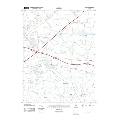
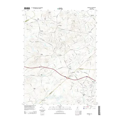
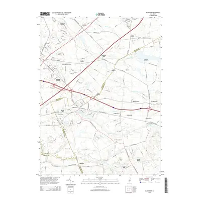
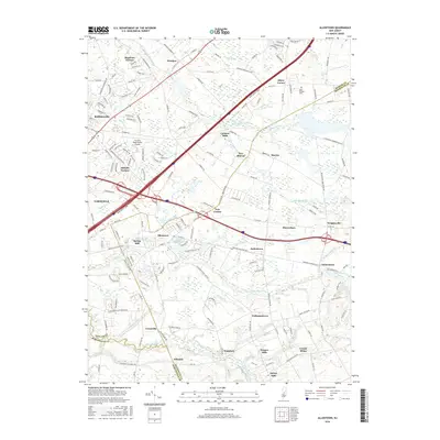
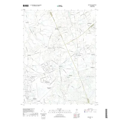
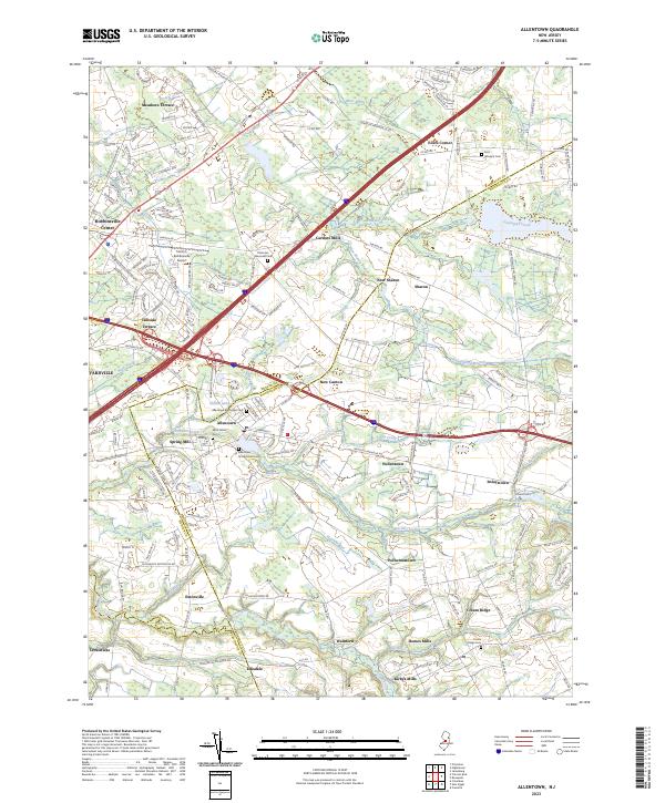 2023 Allentown2023 Print · USGSAllentown and its surrounding hamlets are captured here in the twenty-first century, showing a landscape where modern development meets historic crossroads. Genealogists can locate several burial sites like Saint John's Cem and Cream Ridge Cem, while tracing the waterways of Crosswicks Creek.
 - 2023 Map of Cassville, 2023 Print
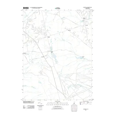
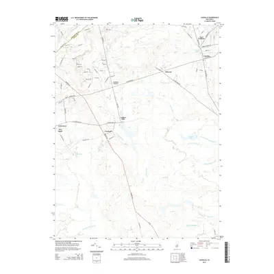
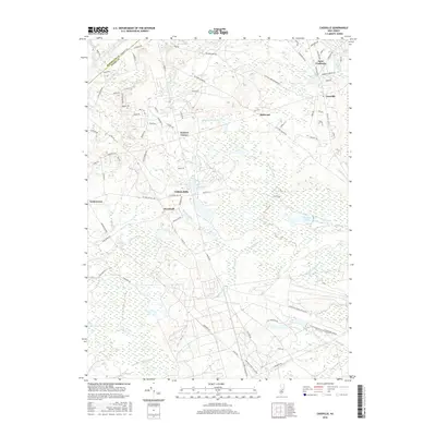
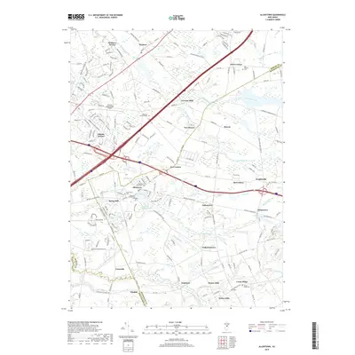
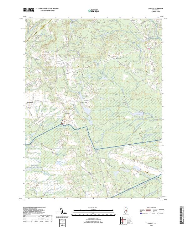 2023 Cassville2023 Print · USGSOcean County’s pine wetlands and historic mill sites are documented here in the early twenty-first century. Genealogists and local historians can trace family-named landmarks and old water systems like Colliers Mills, Archers Corner, and Hartshorne Mill Stream.
 - 2023 Map of New Egypt, 2023 Print
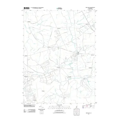
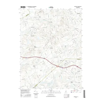
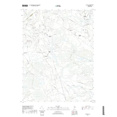
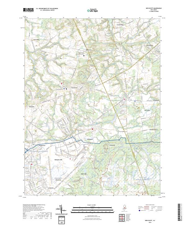 2023 New Egypt2023 Print · USGSThe military and rural landscapes of Monmouth, Burlington, and Ocean Counties meet here in the early twenty-first century. Researchers can trace the massive footprints of McGuire AFB and Fort Dix alongside historic local burial grounds like Jacobstown Cem.
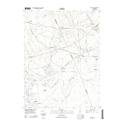
 - 2023 Map of Roosevelt, 2023 Print
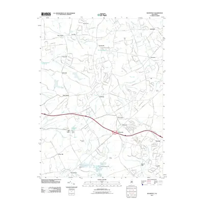
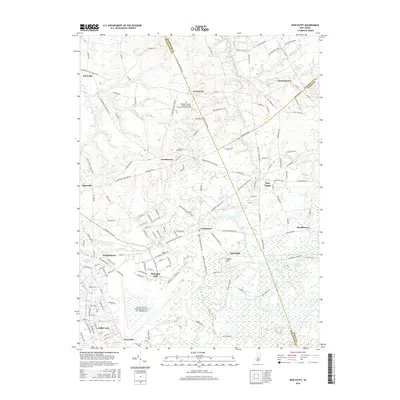
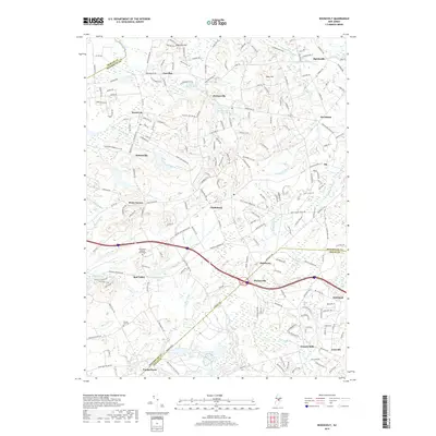
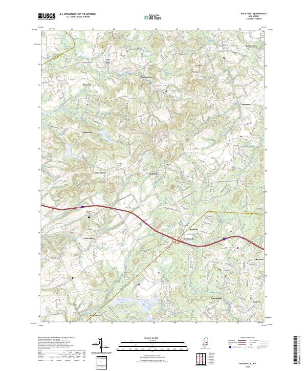 2023 Roosevelt2023 Print · USGSMonmouth County's interior settlements and rural crossroads are captured here during a period of modern growth. Genealogists and local historians can trace early community roots at the Old Yellow Meeting House Cem or explore the water-powered legacy of Francis Mills and Stone Tavern.
End of results
Showing maps 1-20 of 20
Top cities near Upper Freehold Township
- Hamilton Township historical maps
- Trenton historical maps
- Old Bridge Township historical maps
- Jackson Township historical maps
- Monroe Township historical maps
- East Brunswick Township historical maps
See more
Top neighborhoods of Upper Freehold Township
- Hornerstown historical maps
- Pullentown historical maps
- Homes Mills historical maps
- Imlaystown historical maps
- Ellisdale historical maps
- Sharon historical maps
See more
Frequently asked questions
- What are the different types of historical maps available for Upper Freehold Township?
- What is the oldest map of Upper Freehold Township?
- Where can I purchase historical maps of Upper Freehold Township for my home or office?
- Where can I download high-res historical maps of Upper Freehold Township?
- Are there historical topographic maps available for Upper Freehold Township?
- Is there historical aerial imagery available for Upper Freehold Township?
- Where are historical maps of Upper Freehold Township sourced from?