2000s (21st Century) Maps of Mystic Islands, Little Egg Harbor Township
Explore 5 historic maps of Mystic Islands from the 2000s (21st Century). These maps offer a rare glimpse into what life looked like during the 2000s — showing old roads, neighborhoods, homes, and landmarks that have changed or disappeared over time.
Whether you're researching your family's past, planning a metal detecting trip, or studying how Mystic Islands's landscape evolved across the 2000s, these high-resolution maps are a powerful tool for exploring the history of this region.
- Focus on a specific era: All maps on this page are from the 2000s, giving you a focused view of this time period.
- See what’s changed: Compare century-old streets, trails, and buildings to today's modern landscape using overlays and satellite layers.
- Research with precision: Use these maps for genealogy, historical research, land use analysis, or educational projects.
- View, download, or print: Maps are fully viewable online in high resolution, and can be downloaded or printed for your own records.
Start exploring Mystic Islands's history through authentic maps from the 2000s. This is your window into the past.
Mystic Islands, Little Egg Harbor Township maps
(5)- 2011 Map of New Gretna, 2011 Print
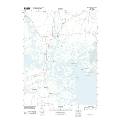 2011 New Gretna2011 Print · USGSCovers Mystic Islands, including Galloway Township, Little Egg Harbor Township, and other nearby areas
 - 2014 Map of New Gretna, 2014 Print
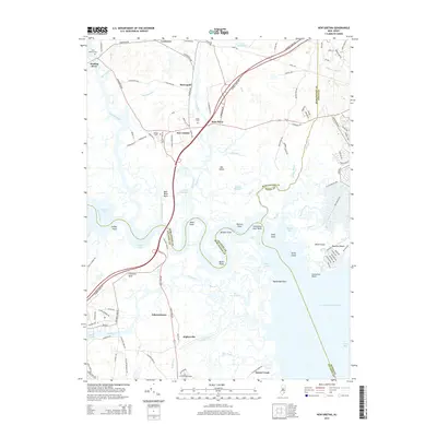 2014 New Gretna2014 Print · USGSCovers Mystic Islands, including Galloway Township, Little Egg Harbor Township, and other nearby areas
 - 2016 Map of New Gretna, 2016 Print
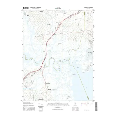 2016 New Gretna2016 Print · USGSCovers Mystic Islands, including Galloway Township, Little Egg Harbor Township, and other nearby areas
 - 2019 Map of New Gretna, 2019 Print
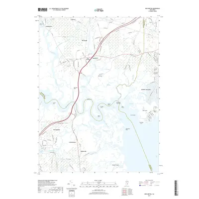 2019 New Gretna2019 Print · USGSCovers Mystic Islands, including Galloway Township, Little Egg Harbor Township, and other nearby areas
 - 2023 Map of New Gretna, 2023 Print
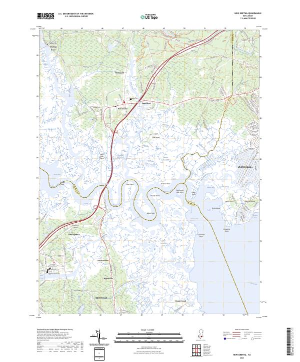 2023 New Gretna2023 Print · USGSThe coastal wetlands of the Pine Barrens come alive in this recent survey of the Mullica River estuary. Genealogists can trace family heritage through sites like Smith Meeting House Cem and Hillside Cem while exploring the reach of New Gretna and Port Republic.
End of results
Showing maps 1-5 of 5
Top cities near Mystic Islands
- Egg Harbor Township historical maps
- Berkeley Township historical maps
- Atlantic City historical maps
- Galloway Township historical maps
- Stafford Township historical maps
- Hamilton Township historical maps
See more
Frequently asked questions
- What are the different types of historical maps available for Mystic Islands?
- What is the oldest map of Mystic Islands?
- Where can I purchase historical maps of Mystic Islands for my home or office?
- Where can I download high-res historical maps of Mystic Islands?
- Are there historical topographic maps available for Mystic Islands?
- Is there historical aerial imagery available for Mystic Islands?
- Where are historical maps of Mystic Islands sourced from?