Old Maps of Ocean Gate, Ocean County for Hiking & Exploration
Hike through history with 28 historic maps of Ocean Gate. Explore old trails, ghost towns, and forgotten backroads — perfect for outdoor adventurers and local explorers.
- Rediscover forgotten places: Map out old mining camps, roads, and footpaths that no longer exist on modern maps.
- Layer with modern tools: Combine with LiDAR or satellite views to plan hikes through historical terrain.
- Made for exploration: Popular among hikers, overlanders, and local history lovers.
Use these maps to find adventure and explore the hidden past of Ocean Gate.
Ocean Gate, Ocean County maps
(28)- 1888 Map of Barnegat
 1888 Barnegat1888 Print · USGSCoastal New Jersey in the late nineteenth century was a world of life-saving stations and emerging rail-linked resorts. Researchers can trace the original paths of the Tuckerton Railroad and locate early landmarks like Barnegat Light and the curiously named Double Trouble.
 - 1893 Map of Barnegat
 1893 Barnegat1893 Print · USGSThe Jersey Shore in the late nineteenth century is a landscape of maritime safety and expanding rail lines. Genealogists and historians can trace old coastal settlements like Lavallette and Chadwick or locate the various Life Saving Stations and the iconic Barnegat Light.2 unique versions available
 - 1898 Map of Barnegat, 1904 Print
 1898 Barnegat1904 Print · USGSThe Jersey Shore appears here at the end of the nineteenth century, when Life-Saving Stations and early rail lines defined the coast. Genealogists and maritime historians can trace the foundations of Barnegat City, Lavallette, and the iconic Barnegat Light.5 unique versions available
 - 1919 Map of Barnegat, 1921 Print
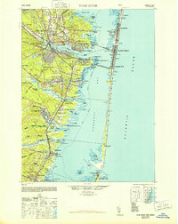
 1919 Barnegat1921 Print · USGSCoastal Ocean County comes alive in the years after the Great War, showing a landscape of barrier island settlements and mainland rail stops. Genealogists and historians can trace early shore life through the string of Life Saving Stations, the Barnegat Light, and old rail stops like Pinewald Sta. or Ostrom Sta.
 - 1941 Map of Toms River
 1941 Toms River1941 Print · USGSCoastal New Jersey's riverfronts and barrier islands are captured here just before the mid-century boom. Trace historic family sites and early infrastructure at Double Trouble, Murray Grove Cemetery, and the Pinewald Golf Course.2 unique versions available
 - 1946 Map of Wilmington, 1948 Print
 1946 Wilmington1948 Print · USGSThe Delaware Valley and Jersey Shore emerge in this mid-century portrait of a region defined by river commerce and seaside growth. Genealogists and historians can trace the rail networks of the Pennsylvania Railroad, locate early airfields like Dover Airpark, and find river defenses at Fort Delaware.2 unique versions available
 - 1948 Map of Toms River
 1948 Toms River1948 Print · USGSThe Jersey Shore's mid-century landscape is preserved here, from the mainland settlements of Toms River to the narrow barrier of Island Beach. Genealogists can trace family landmarks like the Friends Meeting Cemetery and Murray Grove Cemetery as the coastal rail lines linked the bay towns.6 unique versions available
 - 1953 Map of Seaside Park, 1957 Print
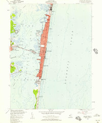 1953 Seaside Park1957 Print · USGSThe Jersey Shore emerges in its mid-century form along the narrow barrier between Barnegat Bay and the ocean. Tracing the coast reveals the early footprint of Seaside Heights, the Boardwalk, and the southern expanse of Island Beach State Park.3 unique versions available
 - 1953 Map of Toms River, 1958 Print
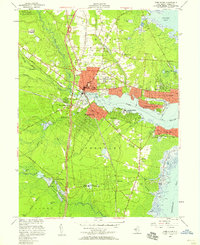 1953 Toms River1958 Print · USGSThe Barnegat Bay shoreline and the emerging Garden State Parkway corridor define this mid-century survey of coastal Ocean County. Researchers can trace the layout of early vacation communities like Island Heights and Ocean Gate alongside inland landmarks like the Admiral Farragut Academy and the Cranberry Bogs near Double Trouble.3 unique versions available
 - 1955 Map of Wilmington
 1955 Wilmington1955 Print · USGSThe Delaware Valley and Jersey Shore are seen here during the mid-fifties era of rapid suburban expansion and highway development. You can trace the path of the New Jersey Turnpike, locate the Fort Dix Military Reservation, or explore the rail networks of the Pennsylvania Railroad.
 - 1957 Map of Wilmington
 1957 Wilmington1957 Print · USGSThe mid-Atlantic coastal plain comes alive in the mid-fifties as the New Jersey Turnpike and Garden State Parkway redefine travel. Researchers can trace the rail-to-road transition and find landmarks like Ship John Shoal Light and the Fort Dix Military Reservation.2 unique versions available
 - 1959 Map of Wilmington
 1959 Wilmington1959 Print · USGSThe Delaware Valley and Jersey Shore are seen here in the late fifties, during a period of massive suburban and highway expansion. Researchers can trace mid-century infrastructure like the N J Turnpike or locate coastal landmarks from Barnegat Bay to the Maurice River.3 unique versions available
 - 1966 Map of Wilmington, 1968 Print
 1966 Wilmington1968 Print · USGSThe Delaware Valley and Jersey Shore are seen here in the mid-1960s, documenting a landscape of dense industrial cities and emerging coastal resorts. Researchers can trace the sprawling rail networks of the Pennsylvania Railroad or locate landmarks like Fort Dix Military Reservation and Elk Neck State Park.4 unique versions available
 - 1972 Map of Wilmington, 1976 Print
 1972 Wilmington1976 Print · USGSThe Delaware Valley and Jersey Shore are seen here in the 1970s, showcasing the region's dense transport networks and vast state forests. Trace early coastal development near Atlantic City or locate rural landmarks like Mount Holly and Dover Air Force Base.2 unique versions available
 - 1984 Map of Hammonton, 1986 Print
 1984 Hammonton1986 Print · USGSSouthern New Jersey is captured in the mid-eighties as suburban growth pressed against the vast Pinelands. Researchers can trace the development of the Atlantic City Expressway corridor and locate landmarks like Ancora Psychiatric Hospital and the sprawling Wharton State Forest.3 unique versions available
 - 1989 Map of Seaside Park
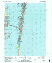 1989 Seaside Park1989 Print · USGSThe Jersey Shore was fully transformed by the late eighties, with dense residential grids spanning the barrier beach from Silver Beach down to South Seaside Park. Researchers can trace local landmarks like the Seaside Sch and the important transit corridor of the Thomas A Mathis Bridge.2 unique versions available
 - 1989 Map of Toms River
 1989 Toms River1989 Print · USGSCoastal Ocean County comes alive in the late eighties as suburban growth meets the salt marshes of the Jersey Shore. Genealogists and local historians can trace family-named sites and established institutions like St Joseph Cem, the Admiral Farragut Academy, and the riverside borough of Island Heights.
 - 1995 Map of Toms River, 2001 Print
 1995 Toms River2001 Print · USGSCoastal Ocean County comes alive in the mid-nineties as suburban growth meets the edges of the Jersey Shore. Researchers can trace the layout of waterfront communities like Island Heights, find local institutions like the Admiral Farragut Academy, or locate family sites near Cedar Grove Cem.
 - 2011 Map of Toms River, 2011 Print
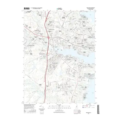
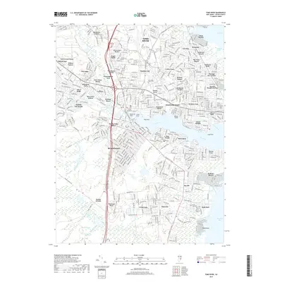
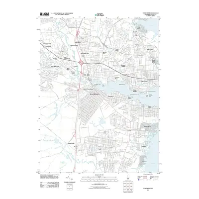 2011 Toms River2011 Print · USGSCovers Ocean Gate, including Toms River, Manchester Township, and other nearby areas
 - 2011 Map of Seaside Park, 2011 Print
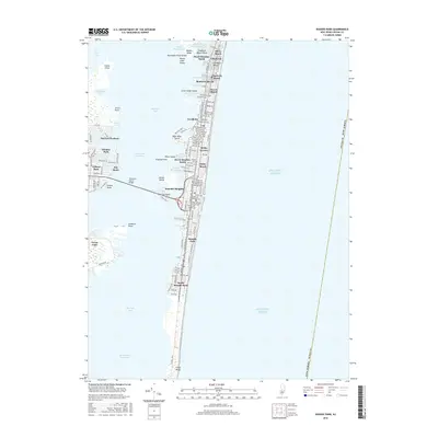
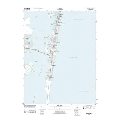 2011 Seaside Park2011 Print · USGSCovers Ocean Gate, including Toms River, Berkeley Township, and other nearby areas
 - 2014 Map of Seaside Park, 2014 Print
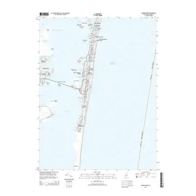 2014 Seaside Park2014 Print · USGSCovers Ocean Gate, including Toms River, Berkeley Township, and other nearby areas
 - 2014 Map of Toms River, 2014 Print
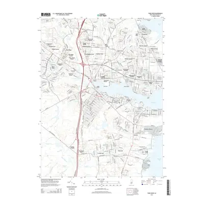 2014 Toms River2014 Print · USGSCovers Ocean Gate, including Toms River, Manchester Township, and other nearby areas
 - 2016 Map of Toms River, 2016 Print
 2016 Toms River2016 Print · USGSCovers Ocean Gate, including Toms River, Manchester Township, and other nearby areas
 - 2016 Map of Seaside Park, 2016 Print
 2016 Seaside Park2016 Print · USGSCovers Ocean Gate, including Toms River, Berkeley Township, and other nearby areas
 - 2019 Map of Toms River, 2019 Print
 2019 Toms River2019 Print · USGSCovers Ocean Gate, including Toms River, Manchester Township, and other nearby areas
Showing maps 1-25 of 28
Frequently asked questions
- What are the different types of historical maps available for Ocean Gate?
- What is the oldest map of Ocean Gate?
- Where can I purchase historical maps of Ocean Gate for my home or office?
- Where can I download high-res historical maps of Ocean Gate?
- Are there historical topographic maps available for Ocean Gate?
- Is there historical aerial imagery available for Ocean Gate?
- Where are historical maps of Ocean Gate sourced from?