1900s (20th Century) Maps of Fredon Township, New Jersey
Explore 27 historic maps of Fredon Township from the 1900s (20th Century). These maps offer a rare glimpse into what life looked like during the 1900s — showing old roads, neighborhoods, homes, and landmarks that have changed or disappeared over time.
Whether you're researching your family's past, planning a metal detecting trip, or studying how Fredon Township's landscape evolved across the 1900s, these high-resolution maps are a powerful tool for exploring the history of this region.
- Focus on a specific era: All maps on this page are from the 1900s, giving you a focused view of this time period.
- See what’s changed: Compare century-old streets, trails, and buildings to today's modern landscape using overlays and satellite layers.
- Research with precision: Use these maps for genealogy, historical research, land use analysis, or educational projects.
- View, download, or print: Maps are fully viewable online in high resolution, and can be downloaded or printed for your own records.
Start exploring Fredon Township's history through authentic maps from the 1900s. This is your window into the past.
Fredon Township, NJ maps
(27)- 1900 Map of Raritan
 1900 Raritan1900 Print · USGSNorth Jersey in the late nineteenth century was a complex web of mountain ridges and vital rail corridors. Researchers can trace ancestral routes through old junctions like High Bridge, industrial sites at Mine Hill, and the shores of Lake Hopatcong.
 - 1905 Map of Raritan
 1905 Raritan1905 Print · USGSNorthern New Jersey's ridges and valleys are meticulously detailed here at the turn of the century. You can trace the complex rail networks of the Lehigh Valley R.R. and locate family landmarks from Swayze Mills to the Powder Depot near Picatinny Peak.2 unique versions available
 - 1905 Map of Hackettstown
 1905 Hackettstown1905 Print · USGSWarren and Morris Counties at the turn of the century show a landscape defined by industrial transport and river valleys. Researchers can trace the historic Morris Canal and the complex rail networks serving towns like Hackettstown, Vienna, and Oxford.5 unique versions available
 - 1943 Map of Flatbrookville
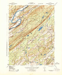 1943 Flatbrookville1943 Print · USGSThe Delaware River borderlands are captured here during the 1940s, showing a landscape of mountain ridges and riverside ferry crossings. Genealogists can locate old homesteads and landmarks like Wintermutes Foundry, Newbakers Corners, and Stillwater TWS School.
 - 1943 Map of Tranquility
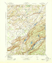 1943 Tranquility1943 Print · USGSWarren and Sussex Counties were defined by quiet hamlets and intersecting rail lines in the mid-forties, long before the modern interstate era. Researchers can trace historic family landmarks and rural infrastructure from the Quaker Church to the Delaware Lackawanna and Western RR and the old settlement of Waterloo.
 - 1944 Map of Newark, 1971 Print
 1944 Newark1971 Print · USGSThe industrial corridor from Philadelphia to New York was in a period of massive transition during the mid-forties. Genealogists and researchers can trace the rail lines of the Lehigh Valley RR, locate military installations like Picatinny Arsenal, and explore the early sprawl near Levittown.5 unique versions available
 - 1949 Map of Newark
 1949 Newark1949 Print · USGSThe industrial corridor between Philadelphia and New York comes alive in this post-war survey. Genealogists and historians can trace the massive rail networks of the Reading Railroad and locate major installations like Fort Dix or Picatinny Arsenal.2 unique versions available
 - 1950 Map of Scranton, 1952 Print
 1950 Scranton1952 Print · USGSMid-century Northeast Pennsylvania and the Hudson Valley come alive in this survey of the tri-state region. Genealogists and historians can trace the dense rail networks of the Erie RR and DL&W RR between industrial hubs like Scranton and Wilkes-Barre.
 - 1953 Map of Scranton
 1953 Scranton1953 Print · USGSNortheastern Pennsylvania and the Catskills are shown in great detail during the early fifties, a time when rail lines and river valleys dictated the region's growth. Genealogists and historians can trace the industrial hearts of Scranton and Wilkes-Barre or locate remote landmarks like High Point and Lake Wallenpaupack.
 - 1954 Map of Flatbrookville, 1955 Print
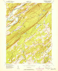 1954 Flatbrookville1955 Print · USGSThe Delaware River valley along the Sussex and Warren county lines comes alive in the mid-1950s, showing the region's camps and mountain trails. Trace the old river crossings at Smith Ferry, find the quiet Lower Wallpack Cem, or follow the Appalachian Trail over Kittatinny Mountain.4 unique versions available
 - 1954 Map of Newton West, 1955 Print
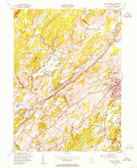 1954 Newton West1955 Print · USGSSussex County transitioned through the mid-fifties as rural farmlands met expanding local centers like Newton. Researchers can trace the dual rail paths of the New York Susquehanna and Western and Lehigh and New England past landmarks like St Pauls Abbey and Swartswood Lake.4 unique versions available
 - 1954 Map of Tranquility, 1956 Print
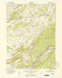 1954 Tranquility1956 Print · USGSNorthern New Jersey highlands in the mid-1950s show a region of mountain ridges and active rail corridors. Local historians can trace the foundations of Allamuchy, Huntsville, and Saxton Falls alongside the Lehigh and Hudson River Railroad.5 unique versions available
 - 1954 Map of Dingmans Ferry, 1960 Print
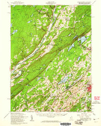 1954 Dingmans Ferry1960 Print · USGSSussex County, New Jersey, and the Delaware River valley are captured here in the mid-fifties, just as the region’s recreation economy was at its peak. Genealogists and historians can trace the foundations of Stillwater and Branchville, or locate remote landmarks like Wallpack Center and Millbrook.2 unique versions available
 - 1956 Map of Newark
 1956 Newark1956 Print · USGSThe industrial heart of the Mid-Atlantic is captured here at the dawn of the highway era, tracing the dense corridors between Newark and Philadelphia. Genealogists and local historians can map the rail networks of the Reading RR or locate mid-century military life at Fort Dix Military Reservation.2 unique versions available
 - 1957 Map of Newark
 1957 Newark1957 Print · USGSThe industrial and military heart of the Mid-Atlantic is mapped during its post-war suburban boom. Genealogists and historians can trace the intricate rail corridors of the Reading Railroad and locate key landmarks from Princeton University to Fort Hancock.
 - 1959 Map of Scranton
 1959 Scranton1959 Print · USGSThe northern coalfields and the Hudson Valley meet in this mid-century survey of the Pennsylvania and New York borderlands. Genealogists and historians can trace the intricate rail networks of the Erie Railroad and the vast waters of Lake Wallenpaupack.2 unique versions available
 - 1960 Map of Newark
 1960 Newark1960 Print · USGSThe industrial heart of the Mid-Atlantic is shown at mid-century, stretching from the dense urban centers of Newark and Philadelphia to the Blue Mountain ridges. Researchers can trace historic rail lines, coastal defenses at Fort Hancock, and the riverfront growth of Trenton and Easton.3 unique versions available
 - 1962 Map of Scranton, 1977 Print
 1962 Scranton1977 Print · USGSThe industrial heart of eastern Pennsylvania and the New York Catskills are captured here in the early sixties. Genealogists and historians can trace the dense valley settlements from Scranton to Wilkes-Barre and the rail lines of the Erie Lackawanna Railroad.2 unique versions available
 - 1964 Map of Newark
 1964 Newark1964 Print · USGSGreater New Jersey and eastern Pennsylvania appear at the peak of their industrial and rail-centered development in the mid-sixties. Genealogists and historians can trace the paths of the Pennsylvania RR, identify mid-century landmarks like CAMP KILMER, or follow the Schuylkill River through READING.2 unique versions available
 - 1965 Map of Scranton
 1965 Scranton1965 Print · USGSThe tri-state highlands of Pennsylvania, New York, and New Jersey come alive in the mid-sixties as industry and recreation converge. Trace the intricate rail lines of the Erie Lackawanna RR or locate landmarks like the U S Military Academy.2 unique versions available
 - 1976 Map of Flatbrookville, 1978 Print
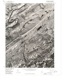 1976 Flatbrookville1978 Print · USGSThe Delaware River valley and Sussex County uplands are captured in this late-seventies aerial survey. Trace rural development and land use patterns around Flatbrookville, Stillwater, and the shores of Fairview Lake.
 - 1984 Map of Newark, 1985 Print
 1984 Newark1985 Print · USGSNorthern New Jersey's massive industrial and transit network is on full display in the mid-eighties, showing the region just before modern redevelopment. Genealogists and historians can trace the dense urban grids of Newark, find historic landmarks like Ellis Island, and locate the sprawling Picatinny Arsenal in the western hills.
 - 1986 Map of Middletown
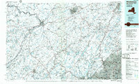 1986 Middletown1986 Print · USGSThe Tri-State region comes alive in the mid-1980s, documenting the corridor from the Hudson River to the Delaware Water Gap. Researchers can trace the sprawling grounds of West Point, the extensive Conrail rail network, and early suburban growth around Middletown and Suffern.2 unique versions available
 - 1986 Map of Newark, 1987 Print
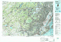 1986 Newark1987 Print · USGSNorthern New Jersey during the mid-eighties shows an incredible transition from the industrial harbor to the wooded Highlands. Researchers can trace the massive footprints of Picatinny Arsenal and Newark International Airport or explore protected lands like the Great Swamp National Wildlife Refuge.
 - 1992 Map of Flatbrookville, 1995 Print
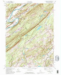 1992 Flatbrookville1995 Print · USGSThe Delaware River valley and Kittatinny Ridge are shown here during the late twentieth century. Genealogists and local historians can locate old crossroads like Donkeys Corners and Egypt Mills, or trace the path of the Appalachian Trail.
Showing maps 1-25 of 27
Top cities near Fredon Township
- Mount Olive historical maps
- Roxbury Township historical maps
- Sparta Township historical maps
- Hopatcong historical maps
- Wantage historical maps
- Succasunna historical maps
See more
Frequently asked questions
- What are the different types of historical maps available for Fredon Township?
- What is the oldest map of Fredon Township?
- Where can I purchase historical maps of Fredon Township for my home or office?
- Where can I download high-res historical maps of Fredon Township?
- Are there historical topographic maps available for Fredon Township?
- Is there historical aerial imagery available for Fredon Township?
- Where are historical maps of Fredon Township sourced from?