Old Maps of Box Bar Place, New Mexico for Academic Research
Study the evolution of Box Bar Place with 7 high-resolution historic maps. Whether you're teaching, researching, or modeling changes in land use, these maps provide essential visual documentation of urban, environmental, and geographic change.
- Analyze long-term change: Track patterns in development, transportation, and natural features.
- Ideal for environmental or urban studies: Support academic projects with primary historical map data.
- Use in the classroom or lab: Educators and researchers rely on these maps to bring historical context to life.
These maps are a powerful tool for teaching, research, and visualizing how Box Bar Place has changed over the decades.
Box Bar Place, NM maps
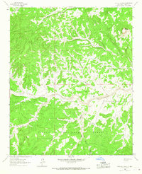
(7)- 1954 Map of Socorro, 1972 Print
 1954 Socorro1972 Print · USGSMid-century New Mexico comes into focus as the Rio Grande valley and the surrounding high desert undergo post-war growth. Genealogists and historians can trace old mountain settlements like Tajique and Punta de Agua or locate remote sites like the Torrance Mine.2 unique versions available
 - 1958 Map of Socorro
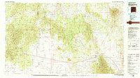
 1958 Socorro1958 Print · USGSNew Mexico's high desert during the late fifties reveals a landscape of massive land grants and remote mining outposts. Researchers can trace the path of the Atchison Topeka and Santa Fe railroad as it connects Socorro and Belen to industrial sites like the Manganese Mill.
 - 1962 Map of Socorro
 1962 Socorro1962 Print · USGSCentral New Mexico comes alive in the early sixties as the rail-and-river corridor of the Rio Grande connects historic pueblos and ranching towns. Local historians can trace the route of the Atchison Topeka and Santa Fe through Belen or locate the Torrance Mine near Mountainair.
 - 1964 Map of Pasture Canyon, 1967 Print
 1964 Pasture Canyon1967 Print · USGSCatron County ranching life is preserved here in the mid-1960s, showing the remote outposts of the Cibola National Forest. Researchers can trace old family sites like the McCord Place and water infrastructure such as Buds Windmill or Ox Spring.2 unique versions available
 - 1979 Map of Magdalena
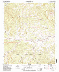
 1979 Magdalena1979 Print · USGSSocorro County in the late seventies is shown here as a high-desert landscape of mountain ranges and remote settlements. Genealogists and historians can trace the reach of the Atchison Topeka and Santa Fe Railway and locate sites like Kelly and Guthrieville.
 - 1995 Map of Pasture Canyon, 1998 Print
 1995 Pasture Canyon1998 Print · USGSCatron County ranching and forest lands are documented here during the mid-nineties, showing a landscape defined by canyons and isolated outposts. Researchers can locate remote sites like White House Ranch, McCord Place, and Grapevine Cabin alongside numerous named springs and wells.
 - 2023 Map of Pasture Canyon, 2023 Print
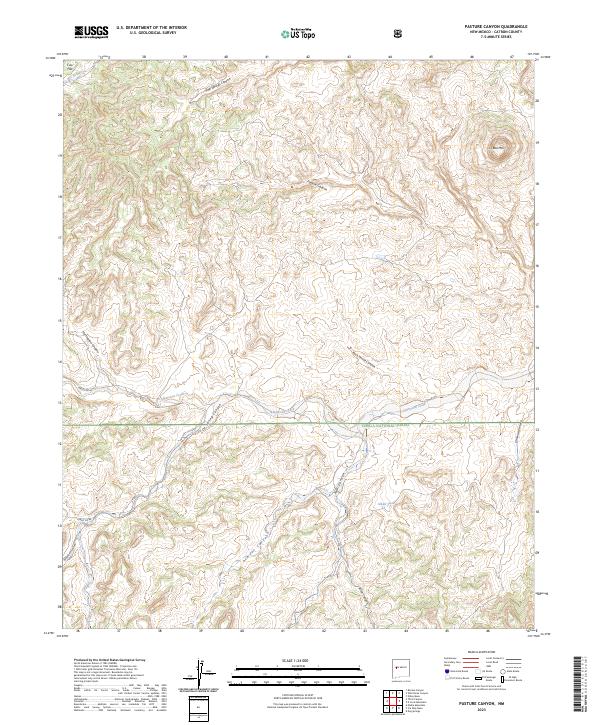 2023 Pasture Canyon2023 Print · USGSCatron County, New Mexico, appears here in recent years as a landscape of deep canyons and national forest land. Researchers can trace the winding course of Alamocita Creek or locate landmarks like Bell Mtn and the remote Alkali Tank.
End of results
Showing maps 1-7 of 7
Top cities near Box Bar Place
Frequently asked questions
- What are the different types of historical maps available for Box Bar Place?
- What is the oldest map of Box Bar Place?
- Where can I purchase historical maps of Box Bar Place for my home or office?
- Where can I download high-res historical maps of Box Bar Place?
- Are there historical topographic maps available for Box Bar Place?
- Is there historical aerial imagery available for Box Bar Place?
- Where are historical maps of Box Bar Place sourced from?