Old Maps of York Ranch, New Mexico for Hiking & Exploration
Hike through history with 11 historic maps of York Ranch. Explore old trails, ghost towns, and forgotten backroads — perfect for outdoor adventurers and local explorers.
- Rediscover forgotten places: Map out old mining camps, roads, and footpaths that no longer exist on modern maps.
- Layer with modern tools: Combine with LiDAR or satellite views to plan hikes through historical terrain.
- Made for exploration: Popular among hikers, overlanders, and local history lovers.
Use these maps to find adventure and explore the hidden past of York Ranch.
York Ranch, NM maps
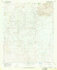
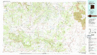
(11)- 1954 Map of Saint Johns, 1968 Print
 1954 Saint Johns1968 Print · USGSThe high plateau of the Arizona-New Mexico border is captured here in the mid-1950s, showing the intersection of tribal lands and national forests. Researchers can trace the cattle country and mountain outposts from Saint Johns to Pie Town and McNary.3 unique versions available
 - 1957 Map of Saint Johns
 1957 Saint Johns1957 Print · USGSThe Arizona-New Mexico borderlands are captured here in the mid-fifties, showing the high-country settlements and federal lands before modern development. Genealogists and historians can trace old homesteads and landmarks like the Red Hill Post Office, Lyman Reservoir, and the mountain communities of Eagar and Springerville.
 - 1958 Map of Saint Johns
 1958 Saint Johns1958 Print · USGSEastern Arizona and western New Mexico appear here in the late fifties, showcasing the high plateau and forest landscapes along the Continental Divide. Researchers can trace early ranching routes and water systems like Lyman Reservoir or locate remote settlements such as Fence Lake and Atarque.2 unique versions available
 - 1962 Map of Saint Johns
 1962 Saint Johns1962 Print · USGSEastern Arizona and the New Mexico borderlands come alive in the early sixties, showing a landscape of high-plateau ranching and early national monuments. Trace the path of the Atchison Topeka and Santa Fe or locate old water sources like Salado Springs and Lyman Reservoir.
 - 1967 Map of York Ranch, 1971 Print
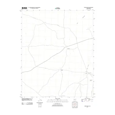
 1967 York Ranch1971 Print · USGSCibola County ranching life is documented here in the late sixties, centered on the interface between open range and volcanic flows. Researchers can trace remote water sources like Goat Tank and find ranching outposts such as York Ranch and its associated Landing Area.
 - 1981 Map of Fence Lake
 1981 Fence Lake1981 Print · USGSWestern New Mexico's volcanic landscape and tribal lands are captured here in the early eighties. Genealogists and historians can trace historic routes like the Old Zuni Treasure Road and settlements at Candy Kitchen and Atarque.2 unique versions available
 - 2010 Map of York Ranch, 2010 Print
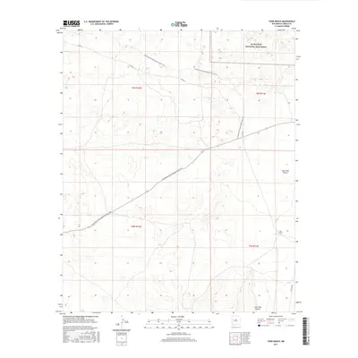
 2010 York Ranch2010 Print · USGSCovers York Ranch, including Cibola County, United States, and other nearby areas
 - 2013 Map of York Ranch, 2013 Print
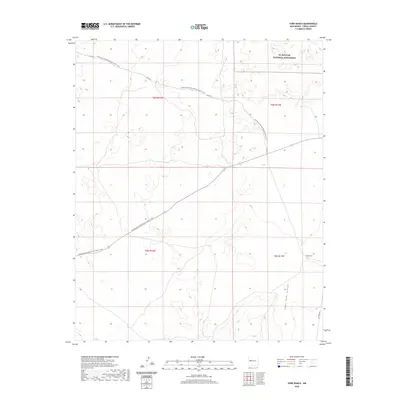
 2013 York Ranch2013 Print · USGSCovers York Ranch, including Cibola County, United States, and other nearby areas
 - 2017 Map of York Ranch, 2017 Print
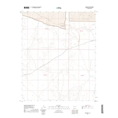
 2017 York Ranch2017 Print · USGSCovers York Ranch, including Cibola County, United States, and other nearby areas
 - 2020 Map of York Ranch, 2020 Print
 2020 York Ranch2020 Print · USGSCovers York Ranch, including Cibola County, United States, and other nearby areas
 - 2023 Map of York Ranch, 2023 Print
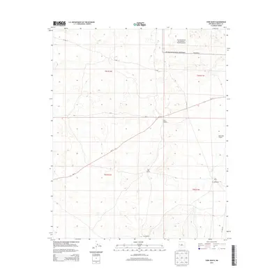
 2023 York Ranch2023 Print · USGSCibola County’s volcanic landscape is documented here in the early twenty-first century, showing where the Continental Divide crosses the high desert. Outdoor enthusiasts and researchers can trace the Continental Divide National Scenic Trl as it meets the West Malpais Wilderness and Goat Tank Canyon.
End of results
Showing maps 1-11 of 11
Top cities near York Ranch
Frequently asked questions
- What are the different types of historical maps available for York Ranch?
- What is the oldest map of York Ranch?
- Where can I purchase historical maps of York Ranch for my home or office?
- Where can I download high-res historical maps of York Ranch?
- Are there historical topographic maps available for York Ranch?
- Is there historical aerial imagery available for York Ranch?
- Where are historical maps of York Ranch sourced from?