Old Maps of Black Lake Resorts, New Mexico
Explore 11 old maps of Black Lake Resorts, spanning from 1954 to today. These high-resolution historic maps reveal how streets, neighborhoods, landmarks, and natural features evolved over time — perfect for genealogy, metal detecting, research, and local history exploration.
What you can do with these maps:
- See how Black Lake Resorts changed over time: Compare historical maps to modern-day views to trace roads, homesites, rail lines & more.
- View detailed metadata: Each map includes creators, publishers, year, scale, and archive source.
- Overlay maps with satellite & LiDAR: Visualize the past alongside modern tools to explore terrain & human change.
- Trusted historical sources: Maps sourced from the USGS, Library of Congress, and other archives.
- Access maps your way: View online, download high-res files, or order prints for personal or research use.
Start exploring old maps of Black Lake Resorts to uncover forgotten places, hidden landmarks, and the deep history beneath your feet.
Black Lake Resorts, NM maps
(11)- 1954 Map of Raton, 1963 Print
 1954 Raton1963 Print · USGSNorthern New Mexico's high-country and plains are documented here in the early sixties, showing the region's ranching and mining infrastructure. Trace the legacy of the Maxwell Land Grant, locate remote rural sites like Tafoya School, and follow the Atchison Topeka and Santa Fe Railway through the heart of Raton.3 unique versions available
 - 1956 Map of Tooth Of Time
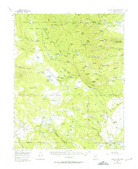 1956 Tooth Of Time1956 Print · USGSThe high Sangre de Cristo foothills come alive in the mid-fifties, featuring the early development of the Philmont Scout Ranch. Trace the old trails and backcountry outposts like Cyphers Mine Trail Camp, the Old Cartwright Mill Site, and Old Abreu Lodge.4 unique versions available
 - 1958 Map of Raton
 1958 Raton1958 Print · USGSNorthern New Mexico and the Colorado borderlands are mapped here in the late fifties, showcasing a landscape of high peaks and historic land grants. Genealogists and historians can trace families across Picuris Pueblo, find old schoolhouses like Piedra Lumbre School, or follow the Atchison Topeka and Santa Fe rail line.3 unique versions available
 - 1983 Map of Taos
 1983 Taos1983 Print · USGSNorthern New Mexico's high-country heritage is on full display in the early eighties, from the deep river canyons to the highest alpine peaks. Genealogists and historians can trace traditional land-grant settlements like Las Trampas, Truchas, and the historic Taos Pueblo.2 unique versions available
 - 1987 Map of Agua Fria Peak
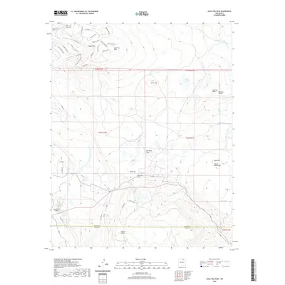
 1987 Agua Fria Peak1987 Print · USGSHigh-altitude ranchlands and scout territories meet in the late 1980s along the Colfax and Mora county line. Researchers can trace the varied terrain of the Philmont Scout Ranch or locate landmarks like Agua Fria Peak and Hidden Lake.
 - 1994 Map of Agua Fria Peak, 1998 Print
 1994 Agua Fria Peak1998 Print · USGSHigh-altitude New Mexico territory in the mid-1990s showcases a rugged landscape of ridges and ranch lands. Researchers can trace the bounds of the Philmont Scout Ranch and historic land grants near Agua Fria Peak and Hidden Lake.
 - 2010 Map of Agua Fria Peak, 2010 Print
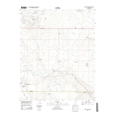
 2010 Agua Fria Peak2010 Print · USGSCovers Black Lake Resorts, including Angel Fire, Colfax County, and other nearby areas
 - 2013 Map of Agua Fria Peak, 2013 Print
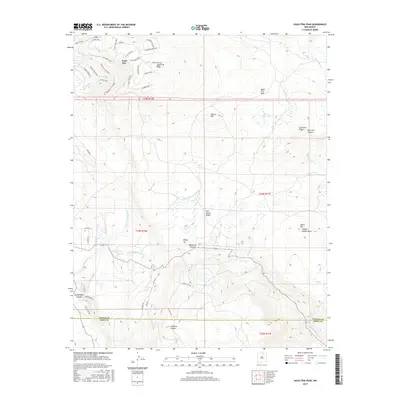
 2013 Agua Fria Peak2013 Print · USGSCovers Black Lake Resorts, including Angel Fire, Colfax County, and other nearby areas
 - 2017 Map of Agua Fria Peak, 2017 Print
 2017 Agua Fria Peak2017 Print · USGSCovers Black Lake Resorts, including Angel Fire, Colfax County, and other nearby areas
 - 2020 Map of Agua Fria Peak, 2020 Print
 2020 Agua Fria Peak2020 Print · USGSCovers Black Lake Resorts, including Angel Fire, Colfax County, and other nearby areas
 - 2023 Map of Agua Fria Peak, 2023 Print
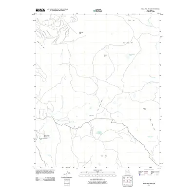
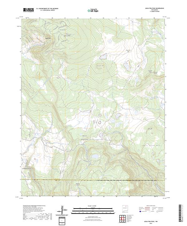 2023 Agua Fria Peak2023 Print · USGSThe high Sangre de Cristo foothills near the Colfax and Mora county line come into focus in this recent survey. Local historians can trace the growth of Angel Fire alongside traditional landmarks like Agua Fria Peak and Horse Shoe Lake.
End of results
Showing maps 1-11 of 11
Top cities near Black Lake Resorts
Frequently asked questions
- What are the different types of historical maps available for Black Lake Resorts?
- What is the oldest map of Black Lake Resorts?
- Where can I purchase historical maps of Black Lake Resorts for my home or office?
- Where can I download high-res historical maps of Black Lake Resorts?
- Are there historical topographic maps available for Black Lake Resorts?
- Is there historical aerial imagery available for Black Lake Resorts?
- Where are historical maps of Black Lake Resorts sourced from?