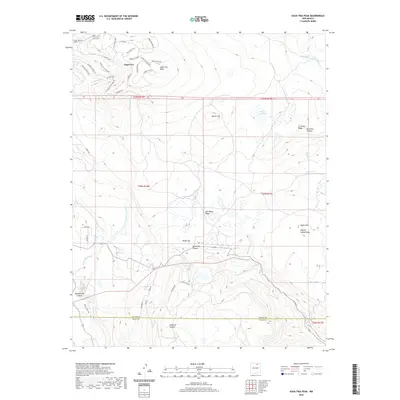
2020 Map of Agua Fria Peak
USGS Topo · Published 2020About this map
Angel Fire and the high peaks of the Sangre de Cristo Mountains define this high-altitude landscape in the southern Rockies. The settlement pattern shows a modern mountain resort community organized around winding roads such as Enchanted Way and El Camino Real, while specialized overlooks like Cascade Overlook and Cieneguilla Overlook suggest the priority given to the surrounding vistas. North of the town, the prominent Agua Fria Peak serves as a topographical anchor.
Find a feature on this map
61 named features on this map. Tap any name to fly to it.
Don’t see what you’re looking for? This feature index may not catch every label — zoom into the map to look around manually.
Map Details
Editions of this 2020 Agua Fria Peak Map
This is the sole edition of this map. No revisions or reprints were ever made.
Other maps of this area

1954 · Raton
USGS Topo · 1:250,000

1956 · Tooth Of Time
USGS Topo · 1:62,500

1958 · Raton
USGS Topo · 1:250,000

1965 · Osha Mountain
USGS Topo · 1:24,000

1965 · Chacon
USGS Topo · 1:24,000

1965 · Palo Flechado Pass
USGS Topo · 1:24,000

1966 · Guadalupita
USGS Topo · 1:24,000

1966 · Ocate
USGS Topo · 1:24,000

1983 · Taos
USGS Topo · 1:100,000
1987 · Agua Fria Peak
USGS Topo · 1:24,000