
1958 Map of Raton
USGS Topo · Published 1958About this map
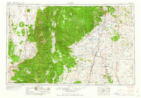
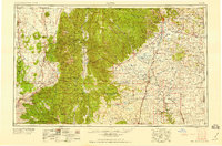
The Sangre de Cristo Mountains dominate this mid-century topographic portrait, where the high peaks of Wheeler Peak and Latir Peak give way to the expansive Maxwell Grant. The landscape is a study in traditional land tenure and early industrial presence, showing the historic boundaries of the Mora Grant and Sangre de Cristo Grant alongside a modern molybdenum mine near Questa. High-altitude settlements like Red River and Eagle Nest contrast with the older valley communities of Taos, Arroyo Seco, and Las Trampas. On the eastern plains, the Atchison Topeka and Santa Fe railroad corridor anchors the growth of Raton near the Colorado border. The map preserves the locations of local landmarks such as the Wheatland School and Kowa School, providing a detailed look at the region's rural infrastructure before significant modern development.
Find a feature on this map
146 named features on this map. Tap any name to fly to it.
Don’t see what you’re looking for? This feature index may not catch every label — zoom into the map to look around manually.
Map Details
Editions of this 1958 Raton Map
3 editions found
Other maps of this area

1889 · Las Vegas
USGS Topo · 1:125,000

1889 · Santa Fe
USGS Topo · 1:125,000

1891 · Las Vegas
USGS Topo · 1:125,000

1891 · Spanish Peaks
USGS Topo · 1:125,000

1891 · Mesa De Maya
USGS Topo · 1:125,000

1892 · Santa Clara
USGS Topo · 1:125,000

1892 · Watrous
USGS Topo · 1:125,000

1892 · Elmoro
USGS Topo · 1:125,000

1893 · Spanish Peaks
USGS Topo · 1:125,000

1893 · Las Vegas
USGS Topo · 1:125,000