Loading...
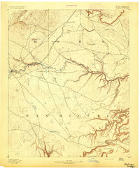
Loading map...1892 Map of Watrous
USGS Topo · Published 1892About this map
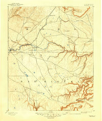
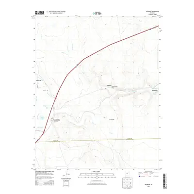
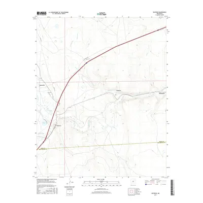
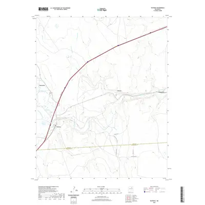
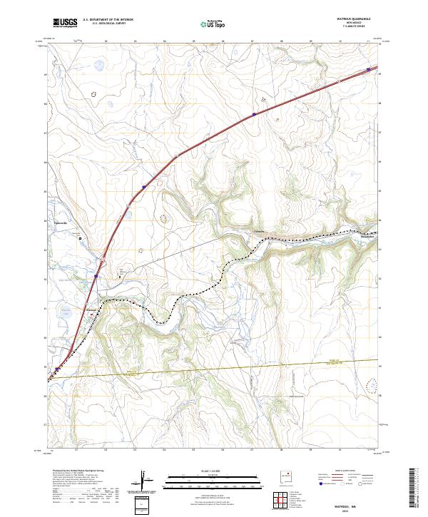
The Atchison Topeka and Santa Fe Railroad cuts through the high plains of the Mora and San Miguel county line in this late nineteenth-century reconnaissance. The Mora River dictates the settlement pattern, drawing small communities like Watrous and Shoemaker to its banks, while the rugged southeastern terrain is defined by a dense network of steep canyons such as Agua Chiquito Canyon and Encinoso Canyon.
Find a feature on this map
39 named features on this map. Tap any name to fly to it.
Don’t see what you’re looking for? This feature index may not catch every label — zoom into the map to look around manually.
Map Details
Date Portrayed1892
Date Published1892
PublisherU.S. Geological Survey
Map TypeTopographic
Scale1:125,000
Physical Dimensions16.5 x 20 inches
Editions of this 1892 Watrous Map
This is the sole edition of this map. No revisions or reprints were ever made.
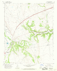
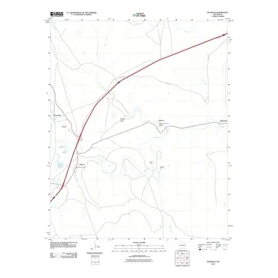
Historical Maps of Wagon Mound Through Time
8 maps found
Featured Locations
Source Details
SourceU.S. Geological Survey
CopyrightPublic Domain